Map of Mansfield
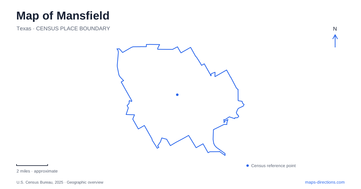
Street tiles load from OpenStreetMap when opened. The blue line shows the 2025 Census boundary.
- State
- Texas
- Population · July 2025
- 84,444
- Land area
- 36.8 sq mi
- Water area
- 0.0 sq mi
Mansfield's map has an older center at Main and Broad streets and a recreation network shaped by Walnut Creek and Pond Branch. These features offer a clearer introduction to the city than its highway exits alone. The historic commercial blocks, the creek parks and the newer eastern trail sections show different stages of local development. They also explain why a route drawn through a park corridor can connect places differently from the surrounding roads, particularly near bridges and highway frontage.
Main and Broad recall the mill settlement
The city's architectural walking-tour account places the early grist mill at Main and Broad streets. It describes a small commercial concentration along Main surrounded by homes and farmland. That history gives the intersection a specific role: it is an origin point for understanding the older downtown pattern, rather than merely another crossing in a suburban road network.
The tour also identifies the former high school and rock gymnasium at 605 East Broad Street. These landmarks extend the historical picture beyond the immediate commercial blocks. A Mansfield history walk can therefore be organized along recognizable streets and individual properties, with Broad carrying the reader away from the Main Street intersection. The address sequence matters more than an oversized “historic downtown” marker that conceals the separate buildings.
North Main links downtown with Town Park
The municipal North Main Street Trail description identifies a connection between downtown and the Walnut Creek Linear Trail at Town Park. Along the street, the trail extends between Oak Street and Pleasant Ridge Drive. At the bridge, a protected trail section shares the overall structure with the roadway, separated from vehicle lanes by concrete barriers.
That crossing is a useful detail on a Mansfield map because it explains how walking and cycling movement relates to a road bridge. The routes occupy the same general corridor without using the same space. Town Park is reached on the eastern side, while the city describes sidewalks continuing on the western side toward Pleasant Ridge Drive. This is a local connection with a particular arrangement, not simply a generic path line beside Main Street.
Walnut Creek organizes several parks
The city lists the linear trail's first phase as connecting Town Park, Katherine Rose Memorial Park, Hardy Allmon Soccer Complex and the two James McKnight parks. Their addresses reveal different approach streets: North Main, North Walnut Creek Drive, North Wisteria Drive and US 287. The creek corridor ties these recreation sites together even though arriving by car requires choosing the relevant park address.
The linear park also includes Jeffryes Crossing, a historic railroad bridge incorporated into the recreation landscape. Such a feature helps explain the corridor's inherited structure. A bridge can survive while the type of movement around it changes. On the map, distinguish the trail connection from the vehicle approaches to neighboring parks; each answers a different question about how the recreation system functions.
Pond Branch offers another downtown route
The official visitor trail guide describes Pond Branch as a pedestrian connection within the downtown area that passes beneath Broad Street. This is a different corridor from Walnut Creek, even though both contribute to downtown access. At a close map scale, the underpass explains why two nearby street-level destinations may be connected without crossing Broad at the surface.
For Mansfield visitors, the two creek names are therefore worth retaining. Walnut Creek organizes the larger park sequence; Pond Branch adds a more concentrated downtown connection. Combining them under one vague “creek trail” label loses information about their respective roles. A walk can use both kinds of connection, but its route should be assembled from the actual junctions rather than inferred from similar names.
Eastern trail sections have their own access pattern
The city's trail directory separately describes a section from Oliver Nature Park toward the 360 Tollway access road. It lists the nature park at 1650 Matlock Road and another access through Philip Thompson Soccer Complex at 1701 North Holland Drive. Fox Hollow Drive at Saddlehorn Lane is identified as pedestrian access without on-street parking. These distinctions are part of the trail's local geography, not minor administrative detail.
Oliver Nature Park also has unpaved surfaces where bicycles are not permitted to be ridden, even though a paved regional trail can be reached through the property. The municipal directory allows walking a bicycle through the nature trails to reach that paved section. This creates an important change in use within what may appear to be one green area on a city map.
Read the network as connected sections
Mansfield's parks map is most useful when it preserves the distinction between completed trail sections, their named access points and the roads that reach them. Main and Broad anchor the historical center; North Main provides a protected connection; Walnut Creek links multiple parks; and the eastern nature-park segment uses another set of approaches. Those concrete relationships explain the city more effectively than assuming every green corridor forms one uninterrupted, identical route.
Map and statistics: U.S. Census Bureau, 2025 Gazetteer, January 2025 generalized place boundaries and Vintage 2025 population estimates. Local references: City of Mansfield; Visit Mansfield Texas. Article prepared by Maps & Directions.