Map of Manhattan
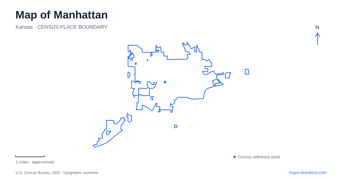
Street tiles load from OpenStreetMap when opened. The blue line shows the 2025 Census boundary.
- State
- Kansas
- Population · July 2025
- 54,673
- Land area
- 20.4 sq mi
- Water area
- 0.1 sq mi
Manhattan has two distinct commercial centers and a university campus that gives the city much of its daily rhythm. Poyntz Avenue anchors downtown, Moro Street helps locate Aggieville, and Kansas State University's buildings form another network of destinations. Beyond the urban streets, public trails and the Flint Hills landscape offer very different ways to explore. A useful local map should show those relationships clearly, so a campus appointment, a downtown museum visit, and a prairie hike are understood as separate kinds of journey.
Poyntz Avenue and the downtown museum district
Poyntz Avenue is the main reference for downtown shops and restaurants. The Town Center mall belongs to this district, while the Flint Hills Discovery Center is at 315 South Third Street. Blue Earth Plaza sits outside the Discovery Center, linking an indoor cultural visit with an outdoor public space. These places establish a compact set of destinations that can be located independently of the university.
The Discovery Center interprets the science, history, and culture of the tallgrass prairie. Its position within downtown makes it an urban introduction to a much larger regional landscape. That is useful for planning: understanding prairie ecology in a museum and walking a preserve are complementary activities, but they happen in different settings. South Third Street supplies the museum address; it is not the starting point for a hike through the Flint Hills themselves.
Aggieville has its own street identity
Aggieville is another established shopping and entertainment district in Manhattan. Its visitor listing uses 1125 Moro Street as a reference, placing the focus on a different commercial corridor from Poyntz. The district's restaurants, shops, and nightlife serve both the university population and other residents and visitors. It should be recognized as a separate neighborhood destination rather than an alternative name for downtown.
Moro Street and the Aggieville garage are separate parts of arriving in the district. Street reconstruction can alter curbside access without changing the location of the businesses, and parking charges or registration arrangements can change independently. Identify the garage entrance and the destination business, then use the city's parking guidance for the intended visit. Those references are more useful than assuming that the spaces shown in an older photograph of Moro remain available.
Anderson Hall and the university core
Kansas State University's Anderson Hall provides a historic anchor on a map of Manhattan. The university dates its construction to 1879 and identifies it as one of the oldest campus buildings. Originally called the Practical Agriculture Building, it later took the name of the institution's second president. The tower remains a recognizable feature, while the building's address is 919 Mid-Campus Drive North.
A campus map is especially useful here because department names and building names carry more meaning than a general university marker. Anderson Hall and nearby Fairchild Hall contain different offices despite their proximity. The university lists Fairchild at 1601 Vattier Street, illustrating how the academic core intersects ordinary street addresses. For a visit combining university business with Aggieville or downtown, first identify the specific campus building, then connect it to the surrounding city streets.
Different trails offer different terrain
The municipal trail map distinguishes Linear Park Trail from the natural-surface River Trails. The former includes paved and gravel surfaces, while the latter offer a more wooded, uneven route. Other named paths, including the K-State Loop and Denison-Marlatt Trail, serve different parts of the developed area. These distinctions matter more than treating every line on the map as the same kind of recreational path.
For a short urban outing in Manhattan, the trail network can be matched to the desired surface and setting. A campus-oriented route, an open connecting path, and a shaded natural trail produce different experiences even when all appear close together on a small map. The city's map identifies public parking and other facilities by route, allowing the starting point to be chosen around the actual outing rather than the nearest visible green space.
Konza Prairie beyond the city streets
Konza Prairie is reached from McDowell Creek Road south of the urban area. Its public hiking routes pass through gallery forest, cross Kings Creek, and climb limestone ledges into tallgrass prairie. The Nature Trail, Kings Creek Trail, and Godwin Hill Trail begin at the same general trailhead, with different loop options extending through the landscape.
This is a hiking destination with its own access rules: bicycles and dogs are not permitted on the public trails. Hokanson Homestead, near Kings Creek, preserves a limestone barn and foundations associated with Swedish settlement in 1878. Together, the prairie and homestead connect natural terrain with agricultural history. A map of Manhattan becomes more informative when it includes this regional context while keeping the preserve distinct from city paths, commercial districts, and the university campus.
Map and statistics: U.S. Census Bureau, 2025 Gazetteer, January 2025 generalized place boundaries and Vintage 2025 population estimates. Local references: Visit Manhattan; City of Manhattan; Kansas State University; City of Manhattan Parks and Recreation. Article prepared by Maps & Directions.