Map of Manchester
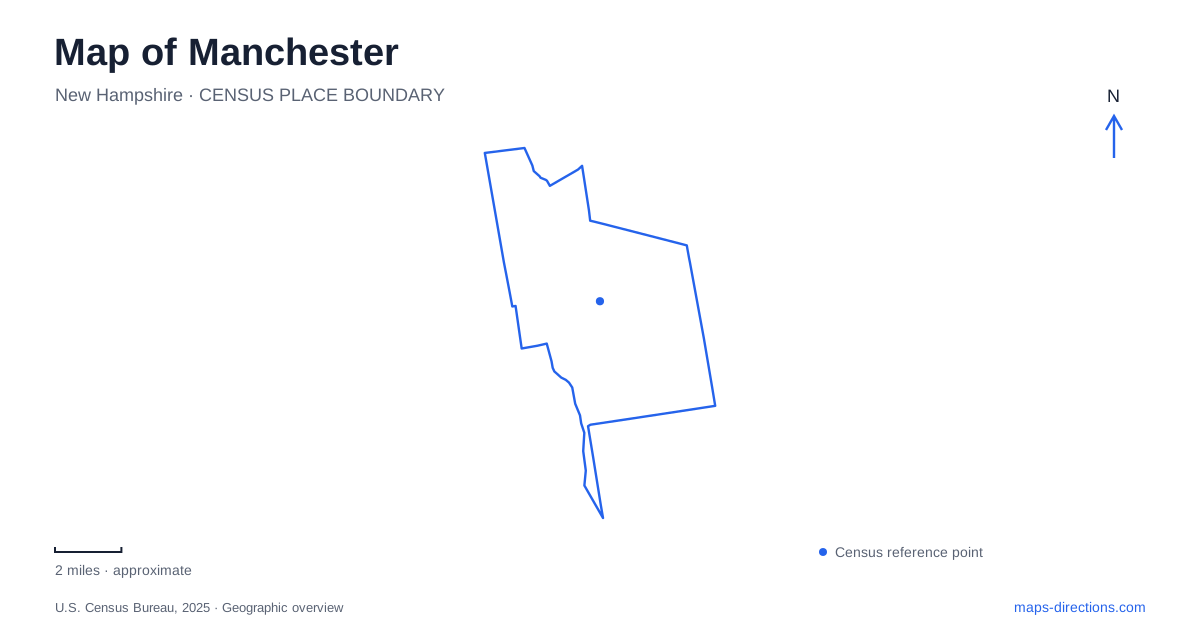
Street tiles load from OpenStreetMap when opened. The blue line shows the 2025 Census boundary.
- State
- New Hampshire
- Population · July 2025
- 116,818
- Land area
- 33.0 sq mi
- Water area
- 1.9 sq mi
Manchester is especially readable from the Merrimack River. The Amoskeag Millyard gives the waterfront an industrial scale, while river walks and a converted railway crossing connect that inherited landscape with recreation. Away from the mills, Stark Park preserves part of a family farm, and two Frank Lloyd Wright houses represent a very different chapter in local architecture. A useful map brings those layers together without reducing the city to either its mill buildings or its highway approaches.
Commercial Street and the working landscape of the mills
The Millyard Museum occupies Mill No. 3 in the historic Amoskeag complex. Its listed street address is 200 Bedford Street, but the museum directs visitors to the Commercial Street entrance. The galleries are on the first floor at the southern end of the building. This is a particularly helpful example of an address describing one side of a large industrial building while visitor access is organized from another.
From I-293, the museum's approach uses Granite Street and then Commercial Street. That combination places the museum within the riverfront street network and gives visitors two substantial landmarks to follow. The association also maintains a research center at 129 Amherst Street, separate from the museum. Someone researching family or business records should therefore distinguish the archive location from the exhibition building when arranging a visit.
The physical setting helps explain Manchester's history before a visitor enters a gallery. A reused mill contains the museum, and streets serving the old industrial complex still organize movement around it. For an architecture-focused outing, this is a strong starting point: the building itself belongs to the subject being interpreted, rather than simply housing a collection unrelated to its surroundings.
Follow the river, then cross toward the West Side
Arms Park lies between Commercial Street and the Merrimack. Its benches and riverside walk provide a quieter counterpart to the large mill buildings. The park belongs to the Heritage Trail, whose local segments include the paved Millyard Riverwalk. The city describes different portions of that broader trail as having different levels of development, so the named riverwalk is a more precise reference for a short waterfront walk than assuming the entire heritage corridor has one continuous paved surface.
Southward, the riverfront trail system connects with the Hands Across the Merrimack bridge and the Piscataquog Trail. The latter is a paved route through the West Side, about 2.1 miles long, serving pedestrians and cyclists. Its access points include the West Side Arena and Thibault Field. The final construction phase, completed in early 2016, connected it to the Goffstown Rail Trail, extending the significance of this local route beyond the municipal boundary.
For Manchester, these trail connections add a second transportation map alongside the road network. They link recreation grounds and neighborhoods with downtown through a river crossing intended for walking and cycling. A day centered on the Millyard can therefore lead into a different part of the city without following the same sequence of streets used for the drive in. The river becomes a connection as well as a dividing line.
Stark Park preserves an older landscape
On North River Road, Stark Park occupies land once belonging to General John Stark's family farm. The general, his wife, and several children are buried there. The park expanded to roughly thirty acres in 1896, and an equestrian statue dedicated in 1948 gives the historic grounds a prominent memorial feature.
The western lower portion contains the Walk in the Woods trail network, while the Hecker-Hastings Bandstand adds a gathering place. This combination of burial ground, woodland, and performance space distinguishes the park from the linear riverfront walk. A Manchester park outing can emphasize either the industrial waterfront or this older agricultural and memorial landscape, depending on the setting the visitor wants to explore.
Wright houses offer a different architectural scale
The Currier Museum of Art stewards the Zimmerman and Kalil houses, both designed by Frank Lloyd Wright. The families were friends and neighbors on the same street. The Kalil house, designed in 1955, belongs to Wright's Usonian Automatic work, while the Zimmerman house retains furniture and a garden also designed by the architect.
Visits are arranged through the museum's guided tours; the Currier explicitly tells guests not to travel directly to the houses. This matters when constructing an architectural itinerary for Manchester. The mills can be understood within their large street and river setting, but the residential interiors require the museum's organized visit. Together, they offer a striking comparison between architecture shaped by industrial production and homes designed around individual families and daily domestic life.
Map and statistics: U.S. Census Bureau, 2025 Gazetteer, January 2025 generalized place boundaries and Vintage 2025 population estimates. Local references: Manchester Historic Association; City of Manchester; Currier Museum of Art. Article prepared by Maps & Directions.