Map of Manassas
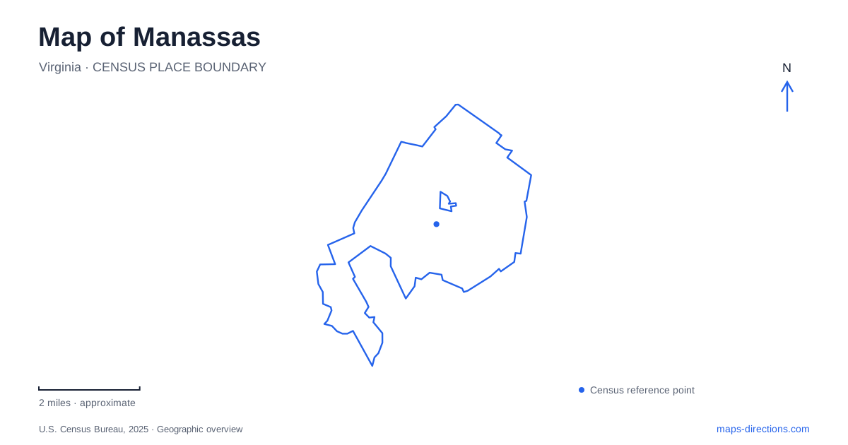
Street tiles load from OpenStreetMap when opened. The blue line shows the 2025 Census boundary.
- State
- Virginia
- Population · July 2025
- 44,332
- Land area
- 9.8 sq mi
- Water area
- 0.1 sq mi
Manassas grew around a railroad junction, and the tracks still provide the clearest organizing line through its historic center. Commercial streets and older residential blocks developed around that transport hub, while later civic, educational, and recreational sites extended the city's geography. The nearby national battlefield preserves a different landscape of roads, fields, and wooded terrain. The town and battlefield share historical connections, but they reward different kinds of exploration.
The junction beneath the downtown story
The meeting of the Orange and Alexandria Railroad with the Manassas Gap Railroad in the 1850s made the surrounding land a logical place for settlement. The town incorporated in 1873, and the county seat moved here from Brentsville in 1892. A new courthouse followed in 1894, adding a governmental role to the transport and commercial functions already associated with the junction.
The historic district's commercial core centers on Center, Main, Church, and Battle streets. Brick storefronts occupy these blocks, while residential streets such as Grant Avenue, North Main Street, and Prescott Avenue contain a wider range of house sizes and architectural styles. The pattern reflects the different people drawn to the growing town, including railway employees and county officials.
This relationship between tracks, businesses, and homes is more informative than treating downtown as an isolated shopping destination. The commercial streets served a town whose railway connected it to larger markets and whose courthouse attracted activity from the surrounding county. Those functions helped create the varied buildings that remain visible today.
A station still used for travel
The downtown depot remains a working stop for Amtrak and Virginia Railway Express, as well as a prominent historic landmark. VRE identifies its station at 9451 West Street. The station's continued use makes the railway more than a preserved artifact: people still arrive and leave through the same central transport corridor around which the town developed.
The transit system also lists a separate Manassas Park station at 9300 Manassas Drive. The similar names can obscure the fact that these are distinct stops with different street locations. For a downtown visit, West Street is the relevant station address. Selecting the other stop changes the local part of the journey, even though both belong to the same regional rail service.
Museum grounds and the neighborhood to the south
Baldwin Park lies behind the city museum at 9101 Prince William Street. Tall trees, a playground, picnic tables, and a short garden path give the museum setting an outdoor counterpart. The park's location across from the Southern Railway depot places history, rail travel, and a neighborhood green space close together.
Farther south, the Downtown South neighborhood has its own mix of housing, schools, small shops, and public facilities. The city's neighborhood study identifies Grant Avenue and Wellington Road as an important commercial junction. That area broadens the picture beyond the better-known historic storefronts: the central district connects directly with streets serving daily residential needs.
Jennie Dean's educational legacy
The Jennie Dean Memorial at 9601 Wellington Road marks the site of a school founded in 1894 to provide academic and vocational education for African American students. Dean was born into slavery in 1852 and pursued the institution after years of fundraising, at a time when segregation sharply limited educational opportunities.
The original private residential school closed in 1938, after which the site served as a segregated regional high school. It is now an interpretive park with a memorial to its founder. That sequence gives the location significance beyond a surviving building: the ground records successive educational uses and a sustained effort to expand opportunity.
The memorial adds an essential part of the city's history alongside railway growth and Civil War interpretation. It also extends the geography of historical interest to Wellington Road, rather than confining that history to the downtown depot or battlefield.
The battlefield has its own scale
Manassas National Battlefield Park preserves the terrain of two major Civil War battles. Henry Hill provides an introductory landscape with a visitor center and a roughly 1.1-mile interpretive loop associated with the first battle. The second battle is explored through a broader set of sites, including Brawner Farm and a self-guided driving route.
Fields, slopes, wooded paths, and the historic road network are central to understanding those events. The visitor center at 6511 Sudley Road supplies a concrete starting location separate from the downtown station. On a map of the city and its surroundings, keeping those two anchors visible clarifies the difference between a compact urban visit and an excursion through a much larger preserved battlefield landscape.
Map and statistics: U.S. Census Bureau, 2025 Gazetteer, January 2025 generalized place boundaries and Vintage 2025 population estimates. Local references: Virginia Department of Historic Resources; Historic Manassas Inc.; Virginia Railway Express; City of Manassas; National Park Service. Article prepared by Maps & Directions.