Map of Malden
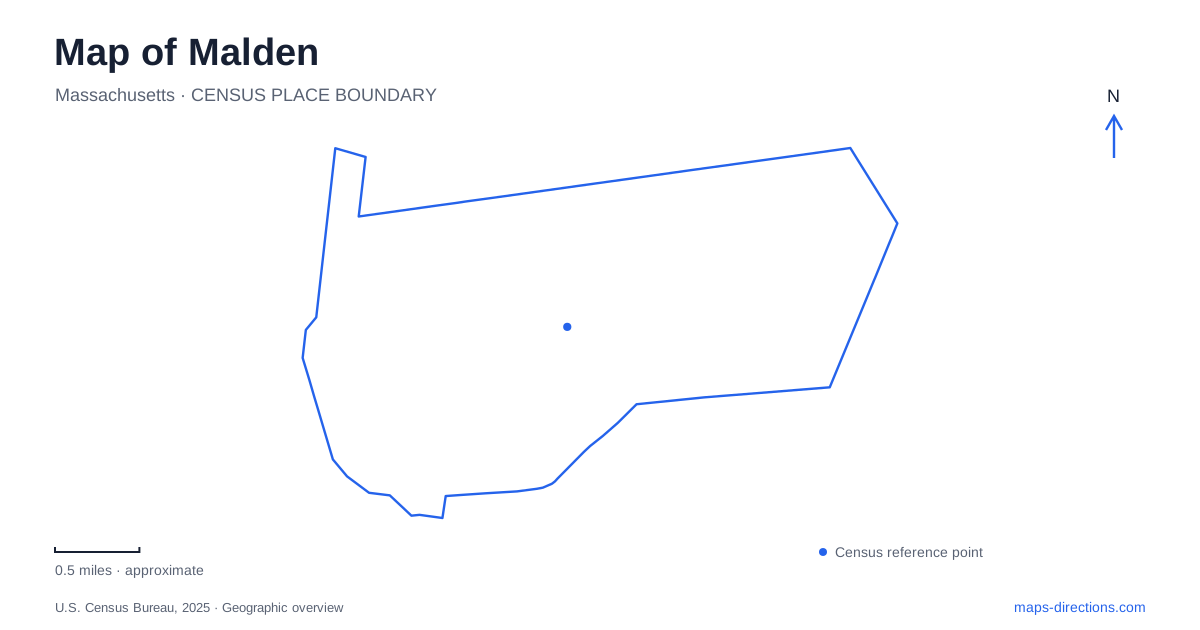
Street tiles load from OpenStreetMap when opened. The blue line shows the 2025 Census boundary.
- State
- Massachusetts
- Population · July 2025
- 66,370
- Land area
- 5.0 sq mi
- Water area
- 0.0 sq mi
Malden combines a transit-connected downtown with ponds, wooded parkland and a hilltop that looks toward Boston. Pleasant Street, Salem Street and Main Street provide useful civic and historical references, while the Northern Strand introduces a separate path through the surrounding urban fabric. Its parks have distinct origins and shapes, from a landscaped pond to a large shared property extending across the Melrose boundary.
Downtown and the Orange Line
City Hall is at 215 Pleasant Street, a useful present-day anchor for municipal business. The address also reflects a changed downtown. City records describe the demolition of the former civic-center building at 200 Pleasant Street in 2017 and a period of temporary offices before the current building. Older references to government offices can therefore point to different places along the same street.
Malden Center and Oak Grove are the city's two Orange Line stations. The line continues toward Boston and ultimately Forest Hills, with Oak Grove at its northern end. These stops connect the city to a regional rail network, but their surrounding streets serve different local areas. A destination near Pleasant Street belongs to a different neighborhood approach from one near the northern municipal boundary.
That distinction helps when combining rail with a walking visit. Downtown civic errands, architecture and a park outing are different purposes even if they begin on the same train line. The local street map supplies the detail that the simplified regional rail diagram leaves out.
A library designed as a memorial
The Converse Memorial Building provides one of the most distinctive architectural references in Malden. Designed by H. H. Richardson and constructed between 1883 and 1885, it has an L-shaped plan, brown Longmeadow sandstone, a tower and a strongly arched entrance. Elisha and Mary Converse gave the building in memory of their son Frank Eugene.
The landscape is part of the design story. The National Park Service describes Frederick Law Olmsted's courtyard for the L-shaped library, with a wall and gate separating an entrance lawn from an open court. Building and grounds were therefore conceived as related public spaces. Looking at the footprint helps explain why the outdoor areas are arranged as they are, rather than treating them as leftover land beside a landmark.
The library's own account also notes Richardson-designed furnishings and a carved oak interior. These details connect the exterior form with the building's original purpose as a carefully designed place for reading and gathering. They provide a more specific architectural story than the broad label of a historic library.
A trail across municipal lines
Northern Strand Community Trail is commonly called the Bike Path locally and is associated with the Bike to the Sea organization. The municipal description places it along a route through Everett, Revere and Saugus toward Lynn. It offers a regional connection that crosses boundaries rather than circling one park.
For Malden, the trail's value includes ordinary movement between neighborhoods as well as longer recreational rides. The city's commercial-corridor planning identifies connections from downtown streets and the Bellrock area to the path. This reveals an urban trail interacting with workplaces, residential blocks and former industrial land, not a route isolated from daily city life.
The trail organization's maps are useful for understanding individual sections and changing extension arrangements. The longstanding “Bike to the Sea” name expresses the regional project, while the mapped route shows the actual sequence of paths and street connections for a particular journey.
Pond, woodland and a hilltop
Fellsmere Park and Pond is at West Border Road and Savin Street. Established in 1893, it combines a path around a pond with a fountain, open grass and wooded areas. Its compact water-centered layout makes it suitable for an outing organized around one landscape rather than a long linear route.
Pine Banks is much larger and shared with Melrose. The city lists it at 1087 Main Street and describes the 1905 bequest by Elisha S. Converse to the two communities. A nonprofit board manages the park, whose facilities combine athletic fields, a track, picnic space and wooded hiking trails. Its public role crosses the municipal line, so a map showing only one city's portion would miss the full recreation setting.
Waitt's Mount offers another perspective: the city identifies it as its highest point, with views toward the Boston skyline. Alongside the pond and wooded park, the hill demonstrates the variety of terrain within this developed area. A Malden map becomes more revealing when it shows those differences in elevation and landscape together with the streets and rail connections that bring them within reach.
Map and statistics: U.S. Census Bureau, 2025 Gazetteer, January 2025 generalized place boundaries and Vintage 2025 population estimates. Local references: City of Malden; Malden Public Library; National Park Service; Bike to the Sea. Article prepared by Maps & Directions.