Map of Maine
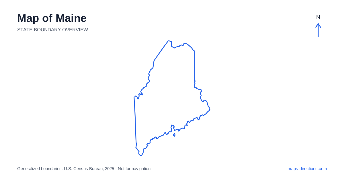
Maine occupies the northeastern corner of the contiguous United States, where a deeply indented Atlantic coast meets a large inland landscape of forests, lakes and mountains. Portland, Augusta and Bangor anchor the southern and central road network, while northern towns occupy a different travel scale. The coastline is particularly easy to misread: two waterfront places can appear close across a bay yet require a long drive around its head. Begin by separating coastal peninsulas, inland corridors and the far north before fitting individual destinations into one route.
Read the coastline as a series of peninsulas
The coast of Maine contains numerous inlets, islands and narrow projections of land. A road may lead south toward a harbor, end near the water and require a return along the same approach before the next peninsula can be reached. This pattern is especially important when planning visits to several small coastal towns in one day.
Use the head of each bay and the connecting inland road as reference points. Do not join nearby harbors with a straight line and assume there is a road along the water between them. Island destinations add another distinction: a bridge, ferry or other transport connection must be identified separately. The map should show not just the shoreline attraction but also the point where the land journey ends and any additional transfer begins.
Locate Portland and the southern approaches
Portland sits on Casco Bay and is an important urban reference point for the southern coast. The wider area includes mainland neighborhoods, nearby towns and islands, so a general city label is not enough to describe every arrival. A waterfront hotel, airport connection and island departure terminal can each require a different local approach.
Interstate 95 provides a major route into the state from the southwest, while Interstate 295 serves the Portland and Brunswick corridor before reconnecting farther inland. These roads establish the regional framework, but coastal visits usually need a separate local segment. Mark the exact town center, beach entrance or harbor parking area before choosing the exit. This prevents the convenience of a major highway from hiding the more detailed final approach.
Follow the central cities inland
A map of Maine places Augusta, the capital, on the Kennebec River, inland from the coast. Bangor lies farther northeast on the Penobscot River and serves another important region. The rivers help explain the historical and geographical placement of these cities, while the highway network connects them through the interior rather than following every coastal bend.
For a longer journey, decide whether Augusta or Bangor is a destination in its own right or simply a transfer point toward another area. A stop near an interstate interchange is a different geographical choice from a stay downtown by the river. If the next day heads toward the mountains, coast or northern towns, select the overnight location with that direction in mind rather than assuming the city center is always the most convenient base.
Separate the Acadia area from the entire eastern coast
Mount Desert Island and Bar Harbor form a well-known coastal destination cluster, but they do not represent all of the eastern shoreline. The island is reached through specific road connections, and destinations around it may lie on different sides of its mountains and inlets. Choose the actual park entrance, trail access or accommodation address rather than a pin placed at the center of the island.
The Schoodic Peninsula is a separate mainland part of the wider Acadia geography, across the water from Mount Desert Island. A visit there requires its own approach rather than a short drive across the bay. Farther east, coastal towns and headlands continue toward the Canadian border. Treat that coast as a sequence of distinct regional journeys, not an unlimited extension of a single Bar Harbor day trip.
Understand the inland mountains and lake country
Western Maine has a different road pattern from the coastal peninsulas. The Rangeley area and other mountain and lake destinations are reached through inland valleys and smaller regional roads. A property beside a lake may sit on a different shore from the town associated with its name. Trace the road around the water before deciding that two stops belong in the same local cluster.
Farther north and west, forest roads are not automatically equivalent to ordinary paved public highways. A visible line on a map does not establish its surface, access arrangements or suitability for a rental vehicle. For an inland recreation visit, identify the named access point and the intended road corridor. Keep that local plan separate from the broader interstate transfer that brings you into the general region.
Give the northern region enough space on the map
Presque Isle, Caribou and the wider Aroostook region lie well north of the main southern visitor corridor. Their position becomes clear only when the full state is shown at a consistent scale. A map cropped around the coast can make the north seem like a minor extension, even though it represents a substantial additional stage of travel.
For a Maine itinerary, choose whether the focus is the southern coast, the central river cities, the western mountains, the eastern shore or the far north. Combine regions only after their connecting roads and overnight stops are visible. Keep a detailed arrival view for each peninsula, island terminal or lakeside entrance. The state's distinctive outline is a useful beginning, but its water-filled edges and extensive interior are what determine the practical journey.