Map of Madison
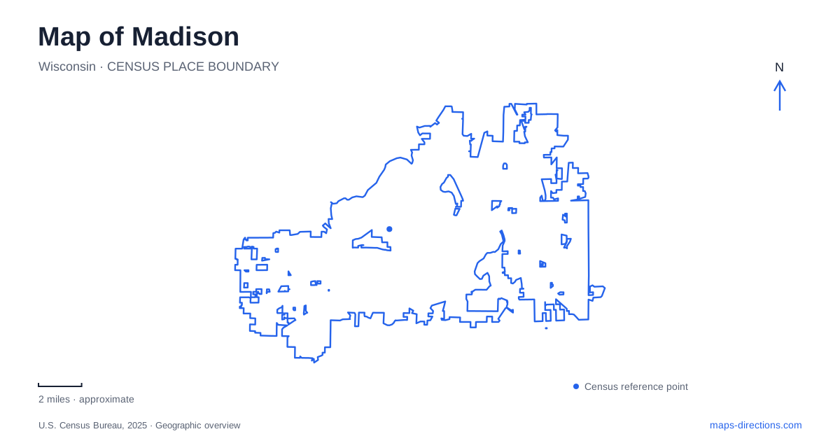
Street tiles load from OpenStreetMap when opened. The blue line shows the 2025 Census boundary.
- State
- Wisconsin
- Population · July 2025
- 286,233
- Land area
- 84.2 sq mi
- Water area
- 21.4 sq mi
Madison has an unusually clear geographic signature: its central city occupies an isthmus between lakes Mendota and Monona. The Wisconsin State Capitol provides a civic focus within that narrow land area, while the university, lakefront parks and gardens extend the picture beyond the Capitol blocks. Water shapes the available land and the direction of movement, but it is not the only organizing feature. Public institutions have also created distinctive landscapes, from a restored prairie to a garden pavilion connected with Thailand.
The Capitol and the campus connection
The Capitol stands at the center of downtown's civic geography. State Street links its surroundings with the university campus, forming a pedestrian-oriented corridor of roughly a mile. This connection gives the central area two strong anchors: government at one end and university life at the other. It is a useful starting framework for reading the downtown map because many destinations are described in relation to either the Capitol or campus.
The lakes make that framework more distinctive. A route toward Lake Mendota and one toward Lake Monona may start close together downtown but lead to different shores. The isthmus is not simply an attractive backdrop; it limits and defines the land on which the central streets developed. In Madison, keeping both the institutional anchors and the two shorelines in mind makes the pattern of the center easier to understand. A compact downtown can still contain several different waterfront orientations.
Atwood Avenue and the eastern lakefront
Olbrich Park lies on the eastern side of the city along Lake Monona. The park covers about 90 acres and includes several activity areas associated with different streets: Atwood Avenue serves lakefront and boat-launch areas, while Garrison and Walter streets relate to other facilities. This spread explains why a single park label represents more than one arrival point or recreational setting.
Olbrich Botanical Gardens occupies the neighboring landscape at 3330 Atwood Avenue. The relationship between the lakefront park and the gardens makes this part of Madison particularly varied. Open recreational space beside the lake and deliberately composed horticultural spaces sit close together, but offer different experiences. The street and shoreline provide the common geographic frame. Someone exploring the area can appreciate that contrast without assuming the park's open lawns and the gardens' collections have the same purpose or layout.
A pavilion across Starkweather Creek
The Royal Thai Pavilion at Olbrich was a gift to the university from the Thai government and the Thai chapter of its alumni association. It was constructed in Thailand, dismantled for transport, then reassembled locally by nine Thai artisans. Its teak structure and ceramic roof tiles were selected to withstand the Wisconsin climate, while decorative gold leaf requires more delicate care.
A 155-foot arched bridge crosses Starkweather Creek to connect the Thai Garden with the central gardens. That crossing is part of the experience: it creates a transition between garden spaces while making the creek visible as a feature of the grounds. The surrounding planting uses Wisconsin-hardy species to evoke a lush tropical setting. The pavilion is not a religious building, despite its ornate form. It instead represents an international relationship expressed through architecture, horticulture and a carefully chosen waterside location.
Restoration as a different kind of landscape design
The university arboretum introduces another way to understand public green space in Madison. Its central property covers about 1,200 acres, including prairie, savanna, woodland and wetland communities as well as horticultural collections. Much of the land had been fields and pasture before the restoration effort began. At the 1934 dedication, Aldo Leopold described a goal of re-establishing earlier Wisconsin ecological communities.
Civilian Conservation Corps crews supplied much of the labor between 1935 and 1941. This history distinguishes the arboretum from a landscape preserved without substantial human intervention. Its ecological communities reflect observation, experiment and continuing management. The paths pass through places shaped by deliberate attempts to restore relationships among soils, plants, water and wildlife, not merely by planting attractive specimens.
Curtis Prairie and the meaning of an outdoor laboratory
Curtis Prairie occupies 73 acres south of the arboretum visitor center. Experiments during the 1930s and 1940s examined planting techniques and the use of fire in prairie management. The area remains significant because those experiments helped develop ecological restoration as a field of practice.
This research landscape gives Madison a useful counterpoint to its formal civic center and ornamental gardens. The Capitol and State Street organize urban activity; the eastern lakefront combines recreation with designed gardens; the arboretum explores how ecological communities can be rebuilt. Reading those settings together reveals a city whose public spaces are closely tied to water, education and the decisions people make about land.
Map and statistics: U.S. Census Bureau, 2025 Gazetteer, January 2025 generalized place boundaries and Vintage 2025 population estimates. Local references: Destination Madison; City of Madison; Olbrich Botanical Gardens; University of Wisconsin Arboretum. Article prepared by Maps & Directions.