Map of Macon
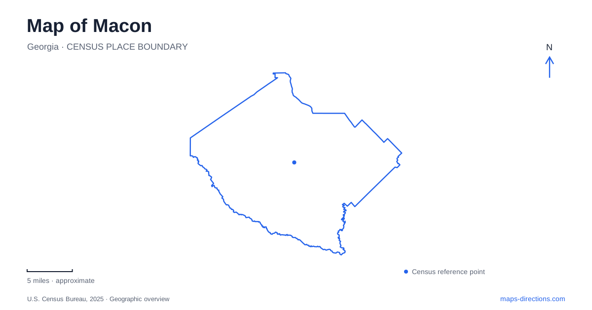
Street tiles load from OpenStreetMap when opened. The blue line shows the 2025 Census boundary.
- State
- Georgia
- Population · July 2025
- 157,556
- Land area
- 249.4 sq mi
- Water area
- 5.5 sq mi
Macon’s geography is organized by the Ocmulgee River, but the places beside it belong to very different histories. Indigenous earthworks preserve a ceremonial landscape dating back many centuries. Public parks occupy riverfront land with later industrial uses, while nineteenth-century domestic architecture rises away from the water. The river-trail network connects parts of this picture, although its long-term vision should not be mistaken for an entirely completed route. A useful map keeps the riverbanks, individual parks, and historic sites visible as distinct pieces of a larger landscape.
Earthworks with their own geography
Ocmulgee Mounds National Historical Park, approached from 1207 Emery Highway, preserves evidence of many Indigenous cultures using this land over thousands of years. Around 900 CE, the Mississippian period brought the construction of the prominent mounds that remain central to the site. The Great Temple Mound rises fifty-five feet, giving the landscape a scale that is difficult to appreciate from a small point symbol on a road map.
The mound complex is a cultural landscape, not simply an outdoor collection of unrelated archaeological objects. Distances and changes in elevation between its features are part of understanding the place. Macon’s later street grid is only one layer of local settlement; this site reveals an earlier organization of communal and ceremonial space.
The Earth Lodge presents a particularly useful distinction between original remains and reconstruction. Its clay floor dates to approximately 1015, while the enclosing walls and ceiling were rebuilt in the late 1930s. The preserved floor includes seats, a fire pit, and a bird-shaped feature. Those details allow visitors to consider how the council chamber was arranged without assuming every visible part of the building is equally old.
Two banks and an expanding trail system
The Ocmulgee Heritage Trail follows parts of both sides of the river. Its eastern sections include Jackson Springs Park and Spring Street Landing, with a connection toward the national historical park through the Walnut Creek corridor. On the western bank, the network includes Carolyn Crayton Park, Gateway Park, Rotary Park, and Riverside Cemetery.
This is a useful way to read the center of Macon: the river is not merely a boundary at the edge of downtown, but a corridor holding several public destinations. Bridges and connecting paths determine how those destinations can be combined. A route along one bank does not automatically provide access to every park visible across the water.
The trail organization continues to describe planned connections between the downtown network and Amerson River Park. Government land purchases have also supported proposed expansion farther north. These are meaningful developments, but a map showing an eventual continuous green corridor can include sections that are still being created. Existing public paths and expansion projects should be distinguished when choosing a walking or cycling route.
Amerson’s public landscape after the water plant
Amerson River Park occupies land associated with the former Riverside Water Plant. Its conversion to public recreation is a direct example of changing riverfront use. Instead of treating the river only as a utility resource, the park creates places for environmental education, exercise, and gathering beside it.
Major improvements completed in 2015 included paved and mulch trails, picnic pavilions, an overlook, and a canoe takeout. The names and locations of the spaces reveal different relationships to the water: the Bluff Pavilion sits near the path toward a riverbed inlet, while the Sheridan Overlook provides a broader view. Lawson Field and the Great Plain offer open lawn areas within the same park.
For Macon residents and visitors, this makes Amerson a destination with its own internal routes and activity areas. Its river setting connects it thematically to the downtown parks, while the trail-construction history explains why that relationship has not always meant an uninterrupted path between them.
Architecture on Georgia Avenue
Hay House, at 934 Georgia Avenue, introduces a different aspect of the city's past. Designed in 1855 and completed in 1859, the residence uses Italian Renaissance Revival forms rather than the more familiar straight-lined Greek Revival vocabulary. Its arches, curves, and octagonal cupola make it a distinctive landmark.
The house also embodied domestic technology: hot and cold running water, central heating, gas lighting, and a speaker-tube system were among its features. Reading the building only as an ornate exterior would miss that combination of display and engineering. Macon’s nineteenth-century elite architecture involved both imported aesthetic ideas and systems intended to change daily life indoors.
Together, the mound complex, river parks, and Georgia Avenue house offer several scales of orientation. The mounds require attention to an entire ceremonial landscape; the parks reveal changing uses along the river; and the house focuses on a particular urban property. Keeping those scales separate makes the map more informative, while the Ocmulgee provides a consistent reference through the city’s many historical layers.
Map and statistics: U.S. Census Bureau, 2025 Gazetteer, January 2025 generalized place boundaries and Vintage 2025 population estimates. Local references: National Park Service; NewTown Macon; Macon Bibb County; Georgia Trust Hay House; Georgia Trust. Article prepared by Maps & Directions.