Map of Lynn
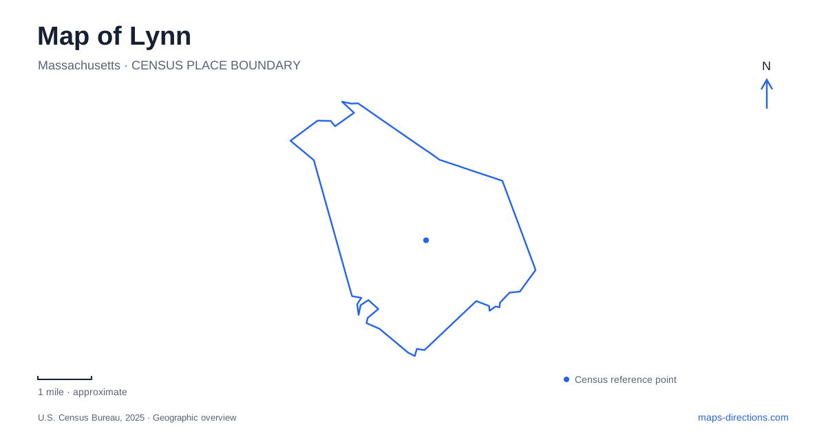
Street tiles load from OpenStreetMap when opened. The blue line shows the 2025 Census boundary.
- State
- Massachusetts
- Population · July 2025
- 104,236
- Land area
- 10.7 sq mi
- Water area
- 2.8 sq mi
Lynn has an unusually strong contrast between a compact coastal city and a large inland forest reservation. Downtown, Washington and Union streets frame a cultural destination among established urban blocks. Along the Atlantic, a shoreline drive and beach reservation offer a very different open space. Inland, wooded hills, reservoirs, towers, and a dense trail network require another kind of map altogether. The city is easier to understand when these three landscapes remain distinct: downtown culture, the ocean edge, and the extensive municipal woods.
Washington Street and Exchange Street
The museum and arts center occupies 590 Washington Street at the northeast corner of Union Street. The organization traces its history to the historical society founded in 1897, but its present campus includes more than the museum alone. Artist studios occupy a separate building at 25 Exchange Street.
Those two addresses reveal a cultural district spread among existing streets. The museum presents local history and exhibitions, while the studios provide working space for artists, musicians, cultural groups, and creative businesses. Their relationship is organizational, even though they occupy different buildings.
At the museum, the courtyard side provides the entrance, and the parking area is reached from Washington Street. This arrangement makes the courtyard an important part of the building's public face. Washington and Union locate the institution within downtown; the courtyard explains how the visit begins at the scale of the parcel.
For Lynn, the museum-and-studios pairing also shows how cultural uses fit into an older urban fabric. A map can show both locations without collapsing them into a single arts-center marker. Walking between named streets becomes part of exploring the district, rather than moving through one enclosed campus.
The Atlantic edge
Lynn Shore Drive follows the coastal recreation landscape, with street parking identified by the state parks agency. The adjoining Nahant Beach Reservation has a different principal address, 1 Nahant Road in the neighboring town. This shared reservation name therefore covers a shoreline setting that extends beyond one municipality.
Red Rock Park provides a recognizable coastal landmark. State interpretation programs use its sidewalk as a meeting place, illustrating its role as an accessible point for observing the shore. The broader reservation includes beaches, a bandstand, athletic areas, and facilities for walking, cycling, and water recreation.
The distinction between roadside access and the larger Nahant beach parking area is useful when reading the map. Both relate to the same coastal landscape, but they are not interchangeable arrival points. The ocean edge is an extended sequence of public spaces rather than one beach entrance serving the entire shore.
Two approaches to the forest reservation
Lynn Woods Reservation was established in 1881 and encompasses about 2,200 acres. Three active reservoirs are part of its landscape, alongside extensive trails and wooded terrain. The principal approaches are Pennybrook Road and Great Woods Road, each leading into a different part of the reservation.
The Pennybrook entrance includes a rose garden and access toward the southern trail network. The Great Woods entrance offers another starting point nearer the central and eastern portions shown on the official map. Choosing between them changes the relationship to landmarks within the woods, including the towers, ponds, and named rock formations.
The reservation's reservoirs are important working-water features as well as scenery. They help explain why this large forest remains closely tied to the city's everyday needs. Its landscape combines recreation and water supply, rather than functioning simply as undeveloped land beyond the neighborhoods.
Towers, ponds, and numbered intersections
The official trail map identifies Walden Pond, Birch Pond, and Breed's Pond, along with Stone Tower, Steel Tower, Dungeon Rock, and several named hills. These landmarks give the forest a structure that is not immediately apparent from its outer boundary. Pond edges and hilltops provide different reference points within the trail network.
The map also uses a numbered grid system. Major junctions have small blue signs showing a grid block and intersection number; Stone Tower is given as an example at D6-1. This system is especially useful where several paths meet among similar-looking woods.
Fire roads, nature trails, the Overlook Trail, and other trails have different marking colors. Reading those categories alongside the junction numbers gives more information than following a continuous line on a general street map. Across Lynn, the museum's courtyard, the coastal reservation, and the woodland grid demonstrate three different scales of navigation, each grounded in a distinctive local landscape.
Map and statistics: U.S. Census Bureau, 2025 Gazetteer, January 2025 generalized place boundaries and Vintage 2025 population estimates. Local references: Lynn Museum and Arts Center; Massachusetts Department of Conservation and Recreation; City of Lynn Community Development; City of Lynn. Article prepared by Maps & Directions.