Map of Lubbock
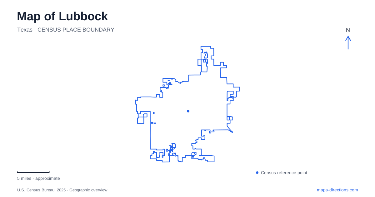
Street tiles load from OpenStreetMap when opened. The blue line shows the 2025 Census boundary.
- State
- Texas
- Population · July 2025
- 273,071
- Land area
- 143.2 sq mi
- Water area
- 1.3 sq mi
Lubbock's history can be read through places operating on very different timescales. Yellowhouse Draw preserves evidence of human use and environmental change over thousands of years. The National Ranching Heritage Center brings together buildings from several centuries of ranching, while the Buddy Holly Center occupies a former railway depot adapted for music and visual art. These sites explain more about the city and surrounding plains than a map focused only on the university and major roads.
Yellowhouse Draw holds the longest record
Lubbock Lake Landmark lies in a bend of Yellowhouse Draw, an ancient valley cut into the Llano Estacado. Spring-fed water attracted people and animals over a long period. The springs dried in the early 1930s, and a municipal dredging effort in 1936 exposed ancient bison bones and tools. Formal archaeological exploration followed in 1939.
The site remains an active research landscape as well as a natural-history preserve. Its importance comes partly from the sequence of deposits, which allows researchers to relate evidence of human activity to changes in soils, plants, animals and climate. This is not simply an isolated collection of artifacts removed from their setting. The position of evidence within the ground is essential to understanding it. The draw itself therefore acts as an outdoor record of the Southern High Plains, with water availability helping explain why activity repeatedly concentrated in this location.
Trails through a research preserve
The Landmark's marked paths pass through native mixed-grass plains habitat. The half-mile Archaeological Trail circles the old reservoir area and locations associated with excavations, while the longer Nature Trail follows the draw for about three and a half miles. Interpretive panels connect the visible landscape with the work undertaken there.
This makes the preserve a different kind of outdoor destination from an unrestricted city park. Visitors sign in at the interpretive center, and trail access follows the facility's operating schedule. The emphasis is on observing a protected research environment. For a map of Lubbock, the valley and its paths also provide a reminder that the plains are not featureless: a relatively localized depression can preserve water, habitat and historical evidence that differ from the surrounding ground.
Ranching history assembled across a park
The National Ranching Heritage Center at Texas Tech University includes a 19-acre historical park with 55 structures representing the period from the 1780s to the 1950s. The museum's development began with an idea in the 1960s and culminated in its formal dedication in 1976. Historic buildings were gathered and restored to explain the development of ranching rather than to preserve one ranch exactly where it originally stood.
Homes, barns, windmills, a schoolhouse and a depot reveal the range of infrastructure that ranching communities needed. Their variety helps move the story beyond a single image of cattle and open range. Domestic life, schooling, maintenance, storage and transport all required buildings adapted to particular circumstances. The park's arrangement allows visitors to compare those structures directly, while the galleries add artifacts, photography and art. This collection gives Lubbock a regional role: it interprets places and practices drawn from a much wider ranching landscape.
A railway depot becomes a music center
The Buddy Holly Center at 1801 Crickets Avenue occupies the former Fort Worth and Denver South Plains Railway depot, built in 1928. The building's later adaptation for cultural use connects the city's transportation history with the legacy of a musician born locally in 1936. The center preserves and presents that musical history while also offering exhibitions of contemporary visual art and music.
The depot setting is part of the attraction's meaning. A building designed around arriving passengers and freight now receives visitors interested in performance, creativity and local memory. Its inclusion in the National Register of Historic Places in 1990 recognizes the architectural and historical value of the structure itself. The center should therefore be read as both a music destination and a reused transport building, with each layer contributing to its identity.
Recreation around Mackenzie Park
Mackenzie Park provides another public landscape associated with the northeastern side of the central city. Municipal facility information places disc golf near East Broadway and Cesar E. Chavez Drive, an equestrian trail near Mackenzie Park Road, and the Canyon Run dog park within the larger grounds. These different activities occupy separate portions of the park.
Together with the draw, ranching museum and former depot, the park broadens the picture of Lubbock. The most revealing destinations are not all buildings, nor do they all represent the same period. A protected valley explains long-term adaptation to water and climate; relocated ranch structures describe a regional economy; and a railway depot's new use shows how cultural identity can develop within inherited urban spaces.
Map and statistics: U.S. Census Bureau, 2025 Gazetteer, January 2025 generalized place boundaries and Vintage 2025 population estimates. Local references: Texas Tech University; Ranching Heritage Association; Texas Tech University Libraries; City of Lubbock; Texas Historical Commission. Article prepared by Maps & Directions.