Map of Lowell
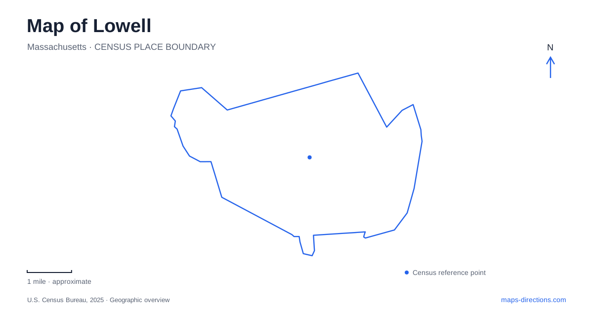
Street tiles load from OpenStreetMap when opened. The blue line shows the 2025 Census boundary.
- State
- Massachusetts
- Population · July 2025
- 119,971
- Land area
- 13.6 sq mi
- Water area
- 0.9 sq mi
Lowell was shaped by the effort to turn river geography into industrial power. The Merrimack, Pawtucket Falls, and a network of canals explain the placement of mills, locks, gatehouses, and many downtown walking routes. Neighborhoods and university campuses extend beyond that industrial core on both sides of the river. Reading the waterways first makes the city easier to understand: they are working and historic structures around which streets and buildings developed, not merely scenic features added to an otherwise ordinary street grid.
A transportation canal became the basis of a mill city
The Pawtucket Canal was completed in 1796 to carry traffic around the falls. The National Park Service describes merchants building a route with locks to overcome the obstacle in the river. Its later conversion into a source of industrial power changed the significance of the same waterway. Water that had helped move goods became a resource for operating textile mills.
That change is visible on a Lowell map in the branching canal system. The Pawtucket, Merrimack, Hamilton, Western, Eastern, and Northern canals form an engineered network associated with different mill areas. Gatehouses and locks occupy key junctions, including Swamp Locks and Lower Locks. Following these named features shows how the industrial landscape was organized around control of water rather than around a single main street.
The Northern Canal, completed in 1847, runs beside the Merrimack behind a granite structure known as the Great River Wall. The wall's scale, rising thirty-six feet, makes the separation of canal and river particularly legible. Two adjacent blue lines on a map represent different parts of the waterpower system: the natural river and an engineered channel running alongside it.
The Northern Canal Walkway allows visitors to experience that relationship, but its opening depends on season, water flow, and construction conditions. This limitation follows directly from its position within the river infrastructure. The walkway is a particular route on an engineered edge, not a promise of unrestricted access to every canal bank throughout the year.
Mills and waterways form a downtown sequence
Boott Cotton Mills provides one of the clearest surviving industrial settings in Lowell. The National Park Service describes a substantial mill complex and a museum weave room with operating looms. The buildings make the scale of textile production visible, while the working machinery explains why a reliable power supply mattered so much to the city.
The park's waterways map places Boott Mills alongside the Eastern Canal and identifies nearby Boardinghouse Park. Elsewhere in the same downtown network, Market Mills, the Merrimack Canal, and the Lower Locks offer additional landmarks. A walk can therefore follow a sequence of production buildings, worker-related places, and water-control structures instead of treating the mill museum as the entire historic district.
The waterways map distinguishes several named walking itineraries, including a Waterpower Walk and Heritage Hike, and marks future paths separately. That separation helps explain how a historic system and a modern pedestrian network overlap without being identical. The canals supplied industrial infrastructure; today's routes select accessible ways to interpret it.
The river also locates residential neighborhoods
The municipal neighborhood description places Centralville north of the Merrimack and east of Beaver Brook. Christian Hill is the portion east of Bridge Street. Pawtucketville occupies the northwestern part of the city, with older development around University Avenue and Mammoth Road and later development around Varnum Avenue. These references provide more detail than simply describing everything across the river as the north side.
South of downtown, Back Central extends toward the mouth of River Meadow Brook. South Lowell lies south of the railroad and east of the Concord River. The distinction introduces another waterway into the city's geography: the Concord is a separate river with its own surrounding neighborhoods, not another canal in the downtown power system.
The Acre, Highlands, and Belvidere add further neighborhood identities around the central districts. Their names belong to the residential and commercial city that continued to grow around the mills. Retaining those identities makes the map useful for everyday addresses as well as for an industrial-history visit.
Three campus clusters follow the Merrimack
The university organizes its grounds into North, South, and East campuses along the river. North Campus concentrates engineering, science, and business; South includes health sciences, education, humanities, social sciences, and fine arts. East contains major student services and residential facilities. These academic clusters add a contemporary layer to the same river-centered city.
For a visit to Lowell, the campus name, neighborhood, and waterway can work together as orientation references. A destination in Pawtucketville near North Campus has a different urban context from Boott Mills downtown or an address beyond the Concord. The result is a city map that connects present-day activity with the rivers and industrial structures that gave the place its distinctive form.
Map and statistics: U.S. Census Bureau, 2025 Gazetteer, January 2025 generalized place boundaries and Vintage 2025 population estimates. Local references: National Park Service; City of Lowell; University of Massachusetts Lowell. Article prepared by Maps & Directions.