Map of Loveland
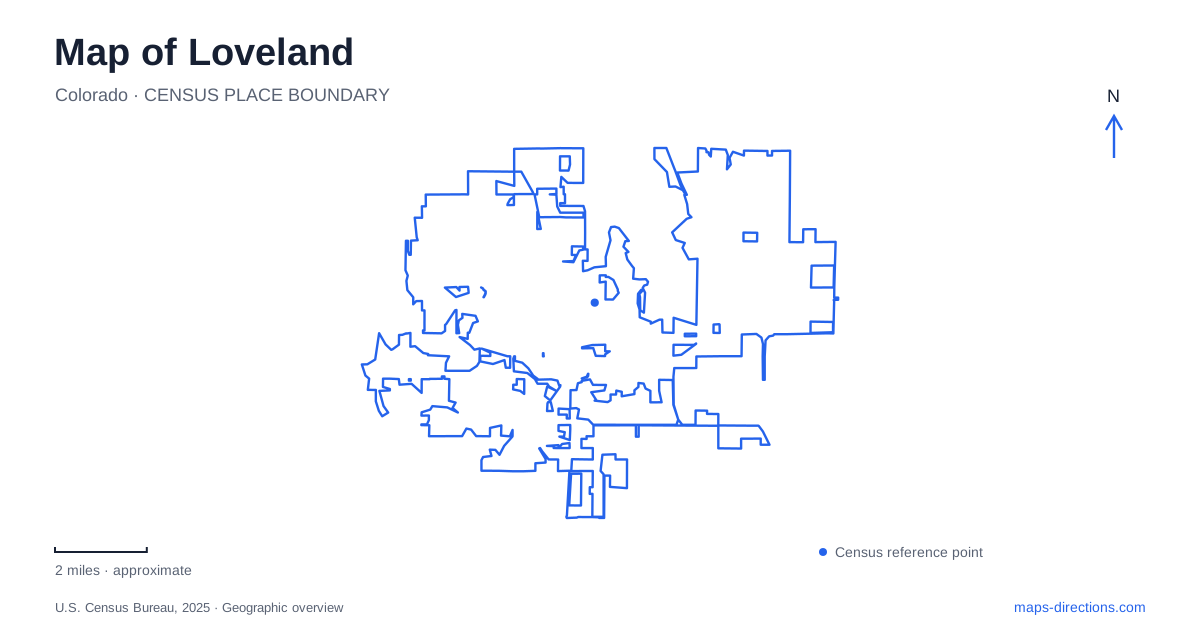
Street tiles load from OpenStreetMap when opened. The blue line shows the 2025 Census boundary.
- State
- Colorado
- Population · July 2025
- 81,387
- Land area
- 36.2 sq mi
- Water area
- 1.5 sq mi
Loveland's art destinations and natural areas occupy several distinct parts of the map. The downtown museum, Benson Sculpture Garden, and Chapungu at Centerra are separate places, while the Big Thompson River links parks and trails south of the central streets. Farther west, Highway 34 leads toward the rock formations at Devil's Backbone. Locating those settings first gives a visit more structure than following a general label for sculpture or outdoor recreation.
Three different settings for art
The museum stands at 503 North Lincoln Avenue. Founded in 1937 by Harold Dunning, it combines art exhibitions with local history. Its street address provides a downtown reference for an indoor cultural visit, separate from the outdoor sculpture collections elsewhere in the city.
Benson Sculpture Garden is at 1125 West 29th Street, at Beech Drive. The municipal directory describes sculptures distributed among walking paths, ponds, benches, and a gazebo. This is a park landscape in which the route between artworks is part of the visit, rather than a single gallery entrance followed by interior rooms.
Chapungu Sculpture Park at Centerra has another identity. Its collection consists of monumental stone works by Zimbabwean artists, arranged through natural and landscaped grounds. The operator's map places it alongside the Promenade Shops, Sky Pond Drive, Centerra Parkway, and Kendall Parkway. Named sections include the Great Lawn, Woods, and Wetlands.
A Loveland art map benefits from retaining all three settings. North Lincoln Avenue identifies the museum, West 29th Street identifies Benson, and the Centerra roads identify Chapungu. The shared presence of sculpture does not make the two outdoor collections alternate names for one place. Their different landscapes and artistic emphasis give them separate roles in an itinerary.
Ponds beside the Big Thompson
River's Edge Natural Area lies south of First Street and east of Taft Avenue. The city lists parking at 960 and 970 West First Street. Its five named ponds include Bass, Dragonfly, Sandpiper, and the North and South Jayhawker ponds, connected by natural-surface paths.
The municipal map distinguishes those local pond loops from the paved recreation trail along the Big Thompson River. This is a useful separation: a walk focused on one pond does not necessarily follow the same line as a longer trip along the river corridor. The pond names offer specific references for discussing a route or meeting location within the natural area.
Loveland's river geography also creates connections across road boundaries. The city identifies access from Centennial Park through a trail underpass at West First Street. Other entries approach from Carlisle Drive using Mineral Trail and from the Roosevelt/Railroad Avenue side opposite Fairgrounds Park. These connections explain how the natural area relates to surrounding neighborhoods and parks without reducing it to its main parking address.
Fairgrounds Park and a road-name ambiguity
Fairgrounds Park is at 700 South Railroad Avenue, south of First Street and west of Highway 287. The city explicitly notes that mapping services may label Railroad Avenue as South Roosevelt Avenue north of the Big Thompson River. That is a real local naming ambiguity, not a different park or a second destination.
The park is west of Barnes Park and the Barnes Softball Complex. The municipal farmers-market information further identifies its northern pavilions as the market setting. These details give useful layers of location: the road address finds the property, the neighboring sports complex helps orient the district, and the pavilion reference identifies a particular gathering area.
On a map of Loveland, keep the river, First Street, and both road labels visible around this district. Together they explain why an address and a map label may appear inconsistent even when the route leads to the correct stretch of road.
West toward the hogback
Devil's Backbone Open Space is reached from Highway 34 by turning north onto Hidden Valley Drive; the county places the trailhead on the left after that turn. The distinctive rock spine is a hogback, formed from sedimentary layers that were tilted and eroded unevenly. Its shape reflects the geology of the foothill margin rather than a constructed park feature.
The county describes a wider trail system connecting with Rimrock and Horsetooth Mountain open spaces. That regional connection does not mean every visitor needs a long through-route. The main trailhead is a specific starting point within a larger protected landscape, and the rock formation provides a strong visual reference for the surrounding terrain.
Loveland's map can therefore connect art, water, and foothills while preserving their differences. The museum and sculpture gardens provide three cultural destinations; the Big Thompson ties pond paths to neighboring parks; and Hidden Valley Drive marks the transition to a western open-space outing. Those concrete relationships make the city easier to explore at both neighborhood and regional scales.
Map and statistics: U.S. Census Bureau, 2025 Gazetteer, January 2025 generalized place boundaries and Vintage 2025 population estimates. Local references: Loveland Museum; City of Loveland; Chapungu at Centerra; Larimer County. Article prepared by Maps & Directions.