Map of Louisville
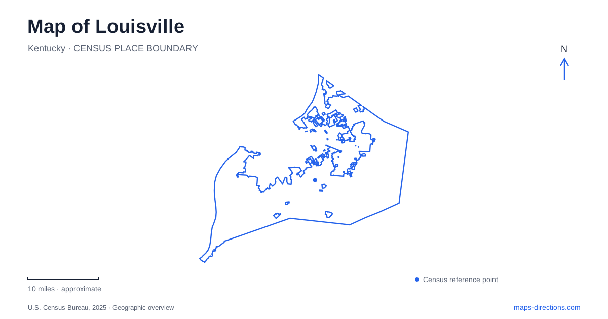
Street tiles load from OpenStreetMap when opened. The blue line shows the 2025 Census boundary.
- State
- Kentucky
- Population · July 2025
- 641,962
- Land area
- 262.8 sq mi
- Water area
- 11.6 sq mi
Louisville's geography combines a river city, a network of distinctive neighborhoods, and a deliberately connected park system. The Ohio River gives the center a clear waterfront edge, but it also carries a history of navigation barriers and engineering. Inland, major parks occupy different landscapes rather than repeating one standard design. A useful map brings those relationships forward: the waterfront is one corridor, downtown contains several separate districts, and the parkways explain connections beyond the central streets.
A river crossing built for walking and cycling
The Big Four Bridge links Waterfront Park with Jeffersonville, Indiana. Its origins as an 1895 railroad bridge remain evident in its truss structure, while its present role is pedestrian and bicycle travel. The Kentucky approach opened in 2013, and the Indiana ramp followed in 2014, completing the connection.
The ramps are important parts of the map. They extend the walking route beyond the bridge's river span, so the point where a path begins on land is different from the point where the structure reaches the bank. Someone meeting at the bridge should identify the intended side and approach rather than rely on the crossing's central label. For Louisville visitors, this is also a straightforward way to understand the state boundary: a continuous park outing can connect two cities in two states.
Waterfront Park itself includes several destinations, such as the Lincoln Memorial, boat docks, picnic spaces, and playgrounds. These form a shoreline landscape rather than a single riverside plaza. River Road and the nearby interstate appear on the park map alongside the paths, making the distinction between vehicle approaches and the park's internal circulation visible.
Downtown contains more than one historic corridor
The tourism bureau identifies Whiskey Row, Museum Row, and South Fourth Street as three principal downtown districts. Whiskey Row's Main Street setting reflects the area's historical association with the bourbon industry. Museum Row gives another portion of downtown a cultural focus, while South Fourth Street supplies a separate corridor within the central area.
These labels are most useful when paired with the streets beneath them. A district name describes a cluster of places; Main Street or Fourth Street explains the direction of movement between them. On a map of Louisville, keeping those two levels together makes it easier to understand why a downtown itinerary may move along the riverward street pattern before turning inland.
NuLu adds an eastward extension to that reading. The city describes the East Market District as centered on Market Street between I-65 and Baxter Avenue, with Main Street and Liberty Street providing its north–south limits. These named boundaries give the informal district a practical geographic outline. It should not be confused with every neighborhood east of downtown.
Victorian streets preserve a later stage of growth
Old Louisville developed as a suburb in the 1870s and contains more than forty blocks of Victorian-era homes, according to the official visitor bureau. Its name can suggest the original settlement, but its development history tells a more specific story: this was an expansion of the city during the nineteenth century.
That distinction changes how the neighborhood fits into a map-based visit. The residential architecture represents a different urban landscape from the downtown commercial corridors and the riverfront. Reading the neighborhood as a collection of residential blocks, rather than expecting one isolated monument, is a better match for its character. The scale of the district also explains why selecting a particular street or architectural destination is more useful than treating the entire area as one stop.
Portland reveals the working river
McAlpine Locks and Dam lies in the Portland neighborhood at the northwestern end of the city. The Falls of the Ohio created rapids that obstructed navigation, and a canal was built to bypass them. The first boat passed through that canal in 1830. Later enlargements produced the modern navigation complex.
The visitor area is identified by the Corps of Engineers at 805 North 27th Street. This is a different riverfront experience from the Big Four Bridge: here the important features are the canal, locks, shipping channel, and the relationship between water levels. Those features explain part of the city's growth and why the river is both a scenic edge and a transportation system.
Parks anchor different parts of the city
The Olmsted system began with three major parks: Cherokee, Iroquois, and Shawnee. Parkways were designed as landscaped connections between parks and neighborhoods. They therefore have a purpose beyond simply carrying cross-town traffic; their routes help explain the larger arrangement of public space.
Cherokee Park occupies rolling hills, meadows, and woodland in the Beargrass Creek valley. Shawnee Park has river frontage and RiverWalk access, with its main address on West Broadway and an athletic complex on Southwestern Parkway. These are geographically different settings within one planned system. A Louisville map becomes more informative when it shows those contrasts alongside the parkway connections, allowing the river landscape, creek valley, and urban neighborhoods to remain distinct parts of a connected city.
Map and statistics: U.S. Census Bureau, 2025 Gazetteer, January 2025 generalized place boundaries and Vintage 2025 population estimates. Local references: Waterfront Park; Louisville Tourism; Louisville Metro Government; US Army Corps of Engineers; Olmsted Parks Conservancy. Article prepared by Maps & Directions.