Map of Louisiana
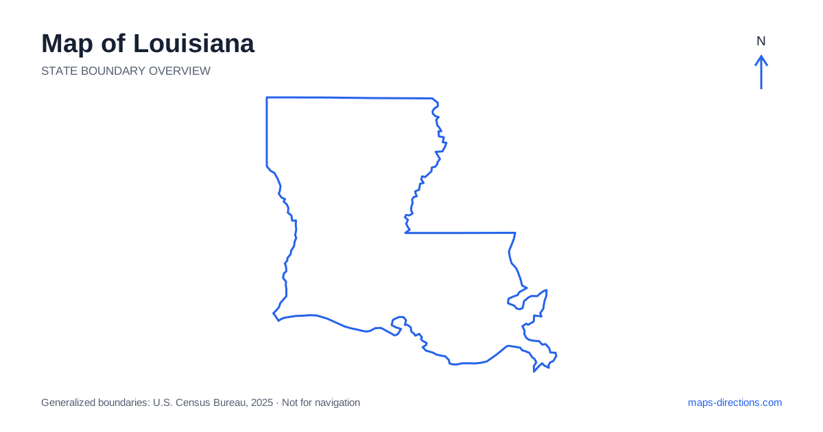
Louisiana is shaped by rivers, lowland basins and a coast that is more intricate than a simple line beside the Gulf. New Orleans, Baton Rouge, Lafayette and Shreveport provide essential reference points, but they occupy different regions and transport networks. A map should distinguish the lower Mississippi corridor from the western part of the state and the northern inland cities. Waterways are especially important: a destination that appears close across a river, lake or marsh may have a road approach that is much longer than the straight-line distance suggests.
Place the river corridor before the cities
The Mississippi River is the central geographical feature of southeastern Louisiana. It passes Baton Rouge and continues through the New Orleans area before reaching its delta. The river bends repeatedly, so descriptions such as east bank and west bank are practical regional terms that do not always match a simple left-or-right reading of a rotated local map.
Identify the actual bank and bridge serving the destination before selecting a route. A nearby address across the water may involve a substantial crossing and approach. Along the river, levees and industrial or private land can also separate a road from the shoreline itself. The map's river line provides orientation, but it should not be interpreted as a continuous public waterfront route available from every adjoining street.
Distinguish the capital from the largest coastal-region city
Baton Rouge is the state capital and lies upriver from New Orleans. The two cities connect through the southern highway network but represent separate urban areas. A trip that includes both should show the transfer clearly rather than treating the capital as an outer district of the better-known visitor city. The exact side of each metropolitan area also matters for arrivals and onward travel.
New Orleans sits between the river and the Lake Pontchartrain area, with surrounding communities occupying distinct positions around water. Metairie, the lake's north shore and the neighborhoods closer to the river do not share identical approaches. Use the full address of lodging or a venue instead of a broad metropolitan pin. This is particularly useful when the route must cross a bridge or approach from a different side of the lake.
Follow the southern road connections
On a map of Louisiana, Interstate 10 connects the southwestern corridor, Lafayette, Baton Rouge and the New Orleans region before continuing east. Interstate 12 provides an alternative east-to-west connection north of Lake Pontchartrain. These are geographical choices that serve different destinations; one should not be selected merely because its line appears more direct on a small statewide view.
The Atchafalaya Basin forms a major wetland and river landscape between parts of the southern urban corridor. Roads crossing or skirting it are concentrated along particular routes. A stop that appears close to the through highway may require a separate local approach around waterways. Identify the intended town or access point first, then follow its connecting road back to the main corridor to understand the true shape of the detour.
Give the northern cities their own framework
Shreveport and Bossier City sit along the Red River in the northwest, while Monroe and West Monroe occupy a separate northeastern urban area along the Ouachita River. Interstate 20 provides an important connection across the north. These cities belong to an inland travel pattern that differs from the southern river-and-coast itinerary most visitors first picture.
Alexandria lies farther south along the Red River corridor and provides another useful interior reference point. Interstate 49 connects important parts of the northwestern and central network with the Lafayette region. A journey between the north and the southern coast should therefore be treated as a major regional stage. The state outline can make the cities appear neatly aligned, but the specific destination and chosen corridor determine the practical route.
Read the coastline as wetlands and access channels
The coast of Louisiana includes marshes, bays, river mouths and barrier features rather than an uninterrupted chain of roadside beaches. Communities in the coastal parishes may be reached along roads that follow narrow land corridors beside water. A place described as being on the Gulf can have a very different approach from a city located farther inland.
For a coastal visit, identify the precise community, terminal or recreation access point. Do not use the center of a wetland area as a driving destination. The surrounding water also makes current conditions relevant to the final plan, particularly when weather affects access. A generalized boundary map establishes where land and water lie at an overview scale; it does not confirm the availability or condition of every road shown in a more detailed map.
Arrange visits by connected landscapes
A New Orleans and river-corridor stay, an Acadiana visit around Lafayette, a northern-city journey and a coastal excursion each have their own geographical focus. Choose that focus before adding distant stops. A southern base may work well for one cluster while creating unnecessary travel for another that belongs along the northern interstate corridor.
For a Louisiana itinerary, place bridges, lake crossings and the final coastal approach directly into the plan. Then compare the regional overview with a closer map of the arrival point. This keeps the state's waterways visible as practical features rather than background decoration. The resulting route reflects how communities are actually connected, while avoiding the assumption that a short line across low-lying land or open water must also be a short drive.