Map of Los Banos
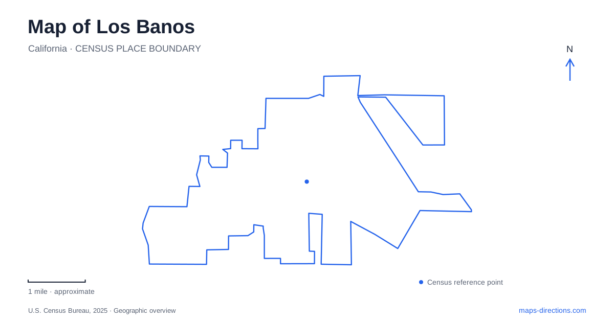
Street tiles load from OpenStreetMap when opened. The blue line shows the 2025 Census boundary.
- State
- California
- Population · July 2025
- 49,614
- Land area
- 10.0 sq mi
- Water area
- 0.1 sq mi
Los Banos is a useful base for understanding the western San Joaquin Valley because its downtown, agricultural history, wetlands, and reservoirs reveal several different relationships with water and transport. Sixth Street and Henry Miller Plaza organize part of the local center, while highways lead outward to protected marshes and major water-storage facilities. A map that distinguishes these destinations is more informative than one that treats every nearby lake or wildlife area as part of the same park.
Sixth Street and the former railway corridor
Henry Miller Plaza opens onto H Street at Sixth Street in the historic business district. The city's park inventory describes a semicircular public space occupying part of a former railway corridor, with direct connections to the Rail Trail and the nearby community center. The plaza's fountain, paved gathering areas, and benches give the former transport land a contemporary civic use.
The community center stands at 645 Seventh Street, close to H Street and the plaza. This relationship shows how public activity has been concentrated beside the older commercial blocks. A walk through central Los Banos can therefore move between the street-based business district and open space shaped by a former rail alignment. The change in form is a reminder that the railway once influenced the town's layout, even where its land now supports recreation and gatherings.
Buildings and photographs explain the agricultural town
The Milliken Museum is at 905 Pacheco Boulevard. Named for longtime curator Ralph L. Milliken, it holds photographs and artifacts that help interpret the local past. The city's historical photo collection identifies the early-twentieth-century bank building at 830 Sixth Street as one of the few structures that survived the 1919 fire. That specific address makes the older commercial story visible within the present street network.
Henry Miller and the Miller & Lux enterprise were closely associated with cattle raising, canals, and agricultural development. The city's account identifies Canal Farm as an operational headquarters and describes irrigation drawing water from the San Joaquin River. This history helps explain why water-management institutions and agricultural references remain prominent around town. The museum offers a place to investigate those changes rather than relying on a single commemorative name to tell the whole story.
Managed wetlands north of the city
The Los Banos Wildlife Area is reached from Highway 165 by turning east onto Henry Miller Avenue, with the listed address at 18110 Henry Miller Avenue. California's wildlife agency describes approximately 6,200 acres of lakes, sloughs, and managed marsh. The state's initial purchase in 1929 began a refuge intended to support wintering waterfowl.
The landscape has a much longer human history, including Yokuts occupation before later ranching and farming. Its present marshes are actively managed habitat rather than simply unused agricultural land. Visitor access also follows that management purpose: the agency normally closes general public access from September 15 until the second Monday in February, with separate hunting arrangements. That seasonal distinction is essential when choosing this particular wetland destination.
San Luis refuge is a different outing
San Luis National Wildlife Refuge is separate from the state wildlife area. Its visitor center introduces wetlands, grasslands, riparian woodland, and other habitats, while auto-tour routes and nature trails provide different ways to explore them. The Tule Elk route circles an enclosure containing a resident herd, and the Waterfowl route offers another focus.
The refuge's trail guidance distinguishes walking routes from vehicle-only auto tours. This matters because a long line on the map may be a designated wildlife drive rather than an open pedestrian path. For a nature-based visit around Los Banos, choosing the federal refuge or the state wildlife area first establishes the appropriate access rules and the type of landscape likely to be encountered. They should not be combined into one generic marsh destination.
Reservoirs store water for different purposes
San Luis Reservoir State Recreation Area includes the main reservoir, O'Neill Forebay, and a separate creek reservoir. The state park's interpretive material explains that water reaches the main storage system through the California Aqueduct and Delta-Mendota Canal, with pumping from the forebay into the reservoir. The creek impoundment has a separate role in controlling storm runoff.
The latter destination is reached at 20800 Canyon Road. Water levels affect the relationship between the boat ramp and areas used for hand-carried craft, so consult the recreation area's launch guidance for the type of boat involved. The larger reservoir and forebay have their own recreation areas and wind-warning system. These distinctions complete the map of Los Banos and its surroundings: the town's rail and agricultural center, managed wildlife habitat, and engineered water storage are connected historically, but each occupies its own physical setting and requires its own destination choice.
Map and statistics: U.S. Census Bureau, 2025 Gazetteer, January 2025 generalized place boundaries and Vintage 2025 population estimates. Local references: City of Los Banos; California Department of Fish and Wildlife; US Fish and Wildlife Service; California State Parks. Article prepared by Maps & Directions.