Map of Lorain
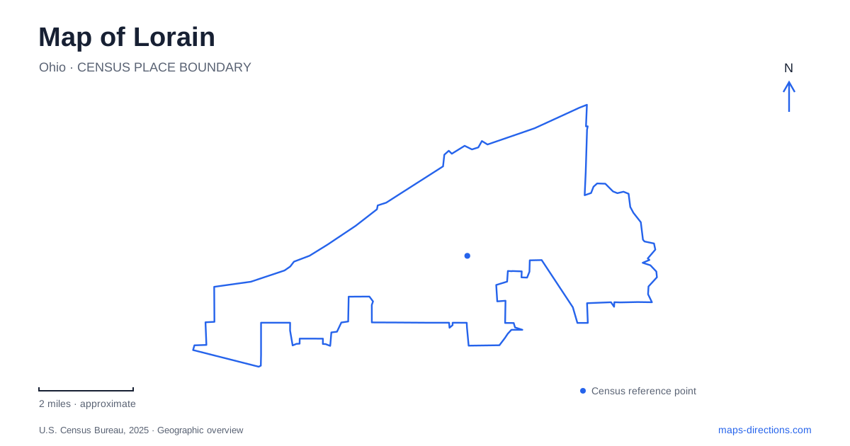
Street tiles load from OpenStreetMap when opened. The blue line shows the 2025 Census boundary.
- State
- Ohio
- Population · July 2025
- 65,366
- Land area
- 23.6 sq mi
- Water area
- 0.5 sq mi
Lorain's meeting of river and lake creates several different waterfront settings. The Black River carries the industrial and harbor story inland, while Lake Erie opens the view beyond the shoreline. A movable bridge crosses the river near its mouth, public parks occupy land once difficult to secure for recreation, and a lighthouse stands apart from the mainland. These places are connected by the city's maritime history, but each occupies a different kind of edge.
The bridge links streets across a working river
The Charles Berry Bascule Bridge opened to traffic in the autumn of 1940 as the Erie Avenue Bridge. Its later name honors a local Marine who received the Medal of Honor for his actions at Iwo Jima. The renaming took place on Veterans Day in 1988.
The bridge's movable structure reflects the need to accommodate both road traffic and vessels. On a map of Lorain, it is therefore more than a line joining two banks: it marks the intersection of a street corridor with a navigation route. The water continues inland beyond the crossing rather than ending at the lakeshore.
Older maps and historical photographs may use the Erie Avenue name. Recognizing that earlier identity makes it possible to compare the same crossing across different periods without inventing a second bridge. The structure has an engineering history and a commemorative history, expressed through its operation and its name.
Black River Landing changed the use of industrial land
Black River Landing developed after the port authority sought riverfront property from LTV Steel. The company eventually donated 25 acres, and the site opened to the public in 2003. A former industrial holding became a park and event venue with walking paths and space for concerts and festivals.
The Ferry Terminal Building followed, opening in 2014 and housing the port authority's administrative offices. Its name belongs to a particular building within the larger site. It should not be treated as evidence that every event or boat departure on the waterfront uses that same location.
This conversion is a significant part of the river's modern history. Public access was created through a specific land transfer and development project, while the surrounding harbor retained other functions. The landing is one accessible portion of a broader working waterfront, not a description of the entire riverbank.
Lakeview Park protects a different waterfront
Lakeview Park occupies land on both sides of West Erie Avenue, with the metro park district managing the lakeside portion. The city originally acquired the property as officials became concerned that private and industrial ownership would leave residents without access to the lake.
The historic rose garden was dedicated in 1932 with support from 17 community organizations. Its wheel-and-spoke design reflects the Rotary emblem, giving the planting arrangement a civic meaning as well as a horticultural one. Paths connect the beds within that deliberate geometry.
The beach, bathhouse and garden represent a different relationship with water from the industrial river corridor. Here the shoreline became a place for recreation and a long outward view over the lake. The road dividing the park also helps explain why a single park name can cover grounds with different management and facilities.
The museum and Moore House are separate properties
Lorain's historical society operates its museum at the Carnegie Center, 329 West Tenth Street. The building began as a library in a residential district near downtown. The society acquired it in 2013, and it entered the National Register of Historic Places in 2023.
Moore House is another property associated with the organization. Leonard Moore built the house in 1906; his public career included serving as mayor and supporting the acquisition of land that became Lakeview Park. The house consequently connects domestic history with the creation of public recreation space.
Moore House and the Carnegie Center have different roles within the historical society's properties. A historic house, collection-storage space and museum exhibition building do not necessarily offer the same type of visit. Consult the society's information for the specific property before arranging an interior tour. That distinction keeps the historical associations visible on the map without treating all institutional addresses as interchangeable public entrances.
The lighthouse occupies a separate harbor setting
The Lorain lighthouse dates to 1917, and its preservation organization marked its centennial in 2017. It stands in the harbor setting rather than within the lakeside park. Views from shore and a visit to the structure are therefore different experiences.
The foundation's organized visits use boat transportation. A map pin over the lighthouse should not be interpreted as a normal street destination or proof of a public walking route. The departure arrangement belongs to the particular tour, while the historic structure remains physically separate from shore facilities.
Together, these locations explain Lorain through changing access to water. The bridge accommodates competing movement across and along the river; Black River Landing converts industrial property into public space; Lakeview protects a recreational shoreline; and the lighthouse records the harbor's navigation history. The museums add evidence about the people and civic decisions behind those changes, making the waterfront a historical landscape as well as a geographic boundary.
Map and statistics: U.S. Census Bureau, 2025 Gazetteer, January 2025 generalized place boundaries and Vintage 2025 population estimates. Local references: Lorain County; Lorain Port and Finance Authority; Lorain County Metro Parks; Ohio Department of Natural Resources; Lorain Historical Society; Lorain Lighthouse Foundation. Article prepared by Maps & Directions.