Map of Longview
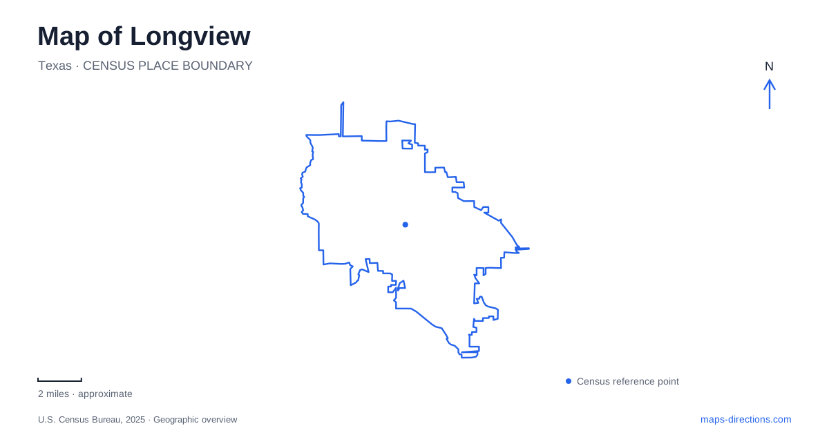
Street tiles load from OpenStreetMap when opened. The blue line shows the 2025 Census boundary.
- State
- Texas
- Population · July 2025
- 83,236
- Land area
- 56.2 sq mi
- Water area
- 0.1 sq mi
Longview has a useful second geography beneath its road network: creek corridors, a former rail alignment and public spaces associated with the historic depot. These features explain why some walking routes travel through neighborhoods without following the main streets. They also provide a way to distinguish a continuous trail from a park loop or a large sports complex. The most informative local map shows how each of these places is organized internally, not just where its name appears.
Grace Creek gives Boorman Trail its course
Paul G. Boorman Trail follows the Grace Creek corridor and passes Lois Jackson Park. The city describes its route between Summers Drive at the northern end and Highway 80 at the southern end. This gives the trail a linear role through the urban landscape, with several possible access points rather than one entrance shared by every visitor.
The municipal facility directory lists parking references at 919 West Marshall, 200 Bill Owens, 1505 Princeton and 2422 H. G. Mosley. Those addresses help connect the trail to the surrounding road system. For a Longview walk, selecting an access point changes which section is closest at the start. A meeting described only as being “on Boorman Trail” leaves a substantial corridor unresolved.
The creek alignment is also a useful explanation of the route's shape. Streets can approach it from different directions while the path continues along its own landscape corridor. A road map shows the drive to a parking location; the trail map shows the onward connection along the creek.
Two marker systems answer different questions
The city's trail guidance distinguishes pavement mileage markers from emergency-location signs. The concrete markers count distance from the end in the direction of travel, while pole-mounted signs numbered PB-1 through PB-12 identify locations for emergency response. The latter are not mileage markers.
This is unusually useful local map information because two visible numbering systems can otherwise seem contradictory. A walker may use the pavement marking to understand progress along the route, then use a PB location to identify a specific place to responders. Neither system should be assumed to describe an ordinary street address. The distinction reflects the practical problem of identifying locations along a long path that has multiple road approaches.
Cargill Long Trail follows a different historical corridor
The city describes Cargill Long Trail as following an old rail bed through wooded areas, neighborhoods and parks. That origin distinguishes it from the creek-based Boorman route. Both provide off-road recreation, but their alignments came from different kinds of geography: one from a watercourse and the other from transport infrastructure.
For Longview map reading, this distinction helps explain why parallel-looking routes do not necessarily serve identical places. A former rail corridor can pass through residential areas according to an older transportation alignment, while a creek trail follows drainage and open space. Comparing the surrounding streets and named access points is more informative than selecting a route only because its stated length resembles another trail.
Lear Park is a large activity complex
Lear Park is at 100 H. G. Mosley Parkway. The city identifies it as a 182-acre regional sports complex with baseball, softball and soccer facilities, together with KidsView Playground, Jack Mann Splash Pad, a walking trail and fishing pier. This concentration of activities makes it a different kind of recreation destination from a linear corridor.
A Longview sports outing should therefore use the park's overall address as the first level of location and the particular field or facility as the second. Someone meeting at KidsView is not necessarily going to the same part of the grounds as a team arriving for a field game. The shared park name explains the property; its internal map explains the event destination.
The site's development history also helps interpret older references. The city describes five construction phases, with the fifth completed in 2021. A historical aerial image may therefore show fewer facilities than a contemporary park map. The relevant question is which layout corresponds to the planned visit, rather than whether the park has always looked the same.
Pacific Avenue and the downtown arts blocks serve different visits
The historic depot and adjacent Depot Park are listed at 905 Pacific Avenue. The city describes the park as a small special-use space beside the railway building. Its role and scale differ from Lear Park's sports grounds or the longer creek paths. A depot visit concerns a compact rail-related place within the street network.
The fine-arts museum's visitor information identifies its East Tyler Street location at 215 and separately discusses a North Fredonia location at 213. Their different street names identify separate parts of the institution's location history and visitor planning. These two addresses should not be treated as interchangeable, and the museum's own current visitor directions are the relevant source when choosing a gallery destination.
A useful Longview map preserves these differences: creek corridor, former rail trail, sports complex, historic depot and downtown gallery. Each has its own location language, whether a trail marker, a field name or a street address. Recognizing those languages makes the city more understandable than reducing every destination to a single undifferentiated point.
Map and statistics: U.S. Census Bureau, 2025 Gazetteer, January 2025 generalized place boundaries and Vintage 2025 population estimates. Local references: City of Longview; Longview Museum of Fine Arts. Article prepared by Maps & Directions.