Map of Longmont
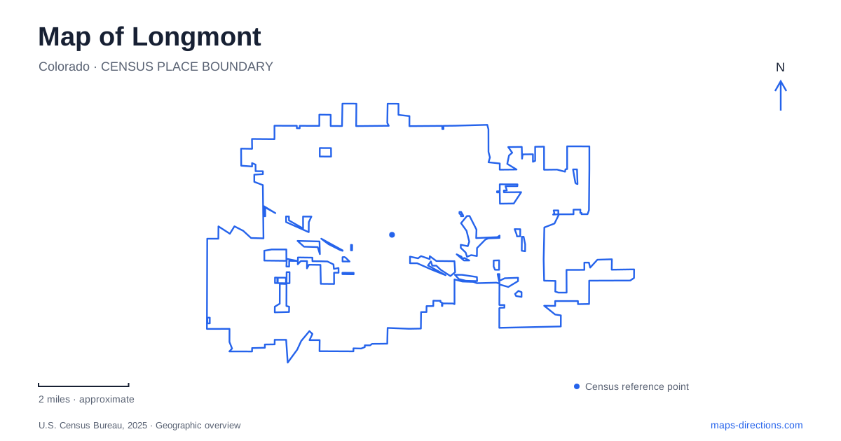
Street tiles load from OpenStreetMap when opened. The blue line shows the 2025 Census boundary.
- State
- Colorado
- Population · July 2025
- 100,109
- Land area
- 29.3 sq mi
- Water area
- 2.0 sq mi
Longmont's geography can be read as a series of connected but distinct landscapes: the historic street grid around Main Street, the St. Vrain Creek corridor, sandstone bluffs to the east, and reservoirs with their own recreation patterns. Main Street and the numbered avenues provide the urban framework. Boston Avenue, Sandstone Drive, Harvard Street, and County Road 26 then locate destinations that would be difficult to understand from a single downtown marker.
Historic neighborhoods on either side of Main
The city identifies two National Historic Districts. The Eastside district generally lies between Fourth and Eighth avenues, from Kimbark to Atwood streets. The Westside district occupies the area between Third and Fifth avenues, from Terry to Grant streets. These bounds describe separate residential areas flanking the central commercial corridor, rather than one continuous district covering every older building.
Emery Street is particularly relevant to the eastern neighborhood's architectural record: the city's initial Eastside survey examined homes along Kimbark and Emery between Fourth and Eighth. Knowing these streets makes an architectural walk more deliberate. A visitor can distinguish the residential blocks from Main Street's commercial role and understand why a downtown business address and a historic-house address imply different surroundings.
For Longmont history, the museum is another separate destination. It stands at 400 Quail Road, just east of Main Street in the southern part of town. Its cultural campus is not inside either of those residential historic districts. Confirm the museum's exhibition and program arrangements for the intended visit; gallery access and scheduled cultural activities are separate parts of the campus experience.
Boston Avenue and the St. Vrain
Dickens Farm Nature Area occupies the creek corridor between Main and Martin streets, with Boston Avenue along its northern side. It serves as a St. Vrain Greenway trailhead and combines nature play, habitat areas, bike skills terrain, and access to the water. The creek runs through the site, so its internal geography is organized around a flowing channel rather than a central lawn.
The city's float-course information identifies an access point at Main Street and takeouts east of Martin Street and at the 119th Street trailhead. Those locations make the direction of a floating trip clear. They also explain why the route back on foot differs from the distance traveled in the water.
There is no public parking at the takeout just downstream of Martin Street. The 119th Street trailhead does have public parking, on the west side of that street south of Ken Pratt Boulevard and north of the creek. For a Longmont water outing, these distinctions are more useful than a general nature-area pin because the beginning, ending, and vehicle location are separate parts of the trip.
Sandstone Ranch beyond the playing fields
The Sandstone Ranch Visitors and Learning Center is at 3001 Sandstone Drive. The historic house interprets the Coffin family's homestead and the surrounding environment. A nature trail passes historic buildings, approaches the sandstone bluffs, and reaches an overlook, connecting the ranch history with the landform that gives the place its name.
The city directs visitors from Highway 119 onto Sandstone Drive, east of County Line Road, then south past the ball fields. The upper parking area connects downhill to the house, while accessible parking is beside the center. This layered arrangement separates the athletic grounds, trailhead, and historic building within a property that can otherwise look like one large park on a map.
Two reservoirs with different shoreline patterns
McIntosh Lake Nature Area has a trailhead address of 1929 Harvard Street and a 3.5-mile perimeter trail. Connections include Flanders and Dawson parks along the eastern edge and a spur toward Boulder County's Agricultural Heritage Center. The northwest portion includes a designated wildlife area, making the shoreline both a recreation route and a habitat boundary.
Only carry-on, non-motorized craft are allowed, with water access at designated ramps; swimming is prohibited. The city also explains that water levels depend on the wider ditch and reservoir system as well as weather. A map of Longmont should therefore distinguish the fixed trail around the lake from the changing extent of water within it.
Union Reservoir, at 461 County Road 26, has a different history. Formerly Calkins Lake, it became a managed reservoir after the Union Ditch Company began a tunnel to release water toward St. Vrain Creek in 1903. Its recreation area supports boating, fishing, paddling, picnicking, and a dog beach. Together, the two reservoirs, creek greenway, ranch bluffs, and historic districts show how Longmont's public destinations follow both a planned street grid and the region's water landscape.
Map and statistics: U.S. Census Bureau, 2025 Gazetteer, January 2025 generalized place boundaries and Vintage 2025 population estimates. Local references: City of Longmont. Article prepared by Maps & Directions.