Map of Lompoc
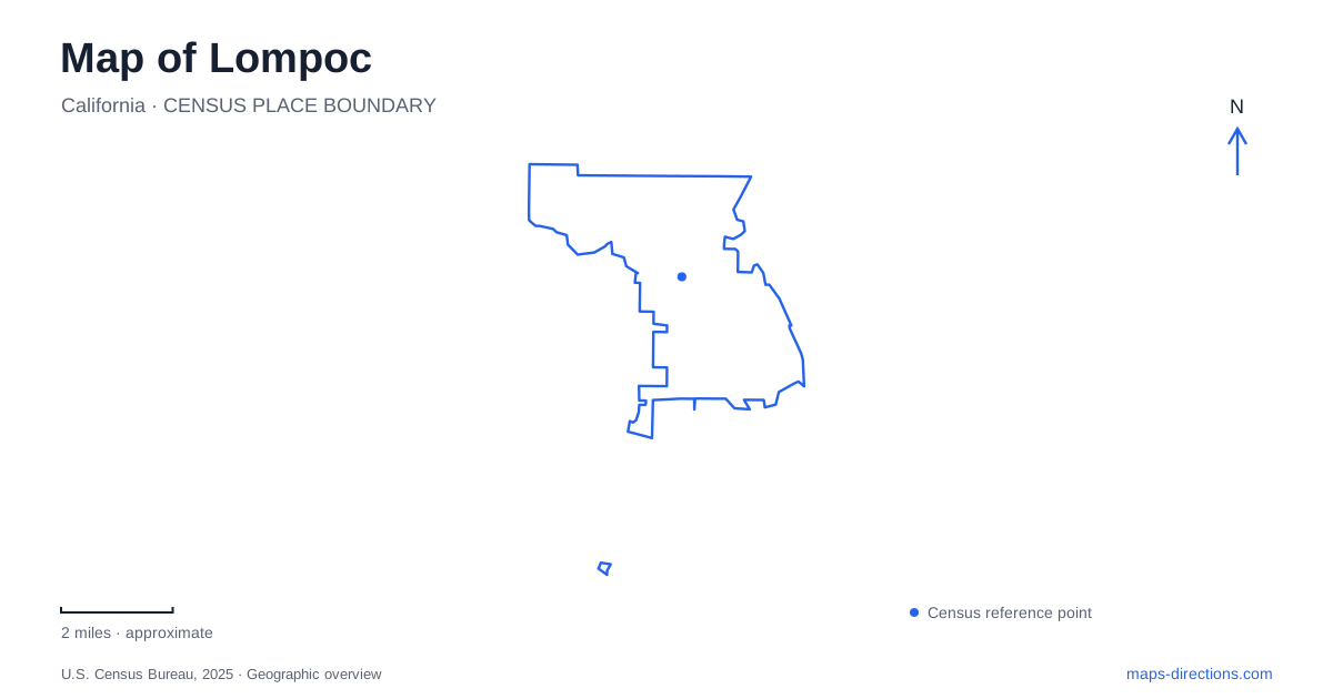
Street tiles load from OpenStreetMap when opened. The blue line shows the 2025 Census boundary.
- State
- California
- Population · July 2025
- 43,315
- Land area
- 11.6 sq mi
- Water area
- 0.1 sq mi
Lompoc occupies an inland valley close to the Pacific, with a town grid, agricultural land, and historic sites that reach well beyond the downtown blocks. Ocean Avenue is an important reference line, but its name can give a misleading impression of the city's setting: the central streets are not an oceanfront promenade. The coast is a separate destination, while the valley itself contains the mission history and working landscapes that shaped the community.
Two mission sites explain a major relocation
La Purísima Mission began in 1787 at a site within the present city. Earthquake destruction in 1812 led to a new location, established in 1813 in La Cañada de los Berros, northeast of the original settlement. Remains of the earlier mission and the much more extensive state historic park consequently belong to different places.
This is the most important historical distinction on a map of Lompoc. Searching for “the mission” can mean the original site or the reconstructed complex outside the central grid. The relocation was a response to damage and landscape conditions, not simply an expansion of the same group of buildings.
California State Parks describes the later mission's setting beside El Camino Real and the extensive reconstruction undertaken by the Civilian Conservation Corps under National Park Service direction. The standing complex is therefore both a record of the mission period and a major twentieth-century preservation project. Its restored shops, living quarters, and church help interpret a larger working settlement, rather than an isolated religious building.
Read the mission as a Chumash landscape too
The state park's history recognizes that the land was home to Chumash people long before the mission's establishment. The mission landscape must be understood within that longer occupation, including the lives and labor of Indigenous residents during the Spanish colonial period.
A tour map helps reveal the breadth of the compound. The residence building included living and administrative spaces, storage, a laundry, and a chapel, while other structures supported crafts and agricultural work. The cemetery preserves another dimension of the community's history. These places make clear that the mission organized daily life and labor as well as worship.
They also show why the state park requires its own detailed map. A single marker for the church cannot represent the full social and working geography of the site.
Agriculture and industry shaped the valley
The city's historical account links later growth to the coastal railroad completed in 1901 and a spur into town. Agricultural land was prepared for specialized production, including flower seeds. Diatomaceous-earth mining developed in the southern hills, adding another industry with a different relationship to the terrain.
These histories explain two contrasting landscape types around Lompoc: cultivated valley ground and mineral-bearing hills. Flower production should not be imagined as a permanent public garden covering the city. It is an agricultural activity with changing fields and working properties, while the mining landscape belongs to a separate industrial history.
The distinction becomes especially useful downtown, where public art depicts both subjects. Murals can introduce these industries without suggesting that every working site is open for casual visits.
Old Town's art follows walls and alleys
The mural area is concentrated around Ocean Avenue, South H Street, South I Street, and nearby alleys. The tourism organization's map identifies a flower-industry mural at the southwest corner of H Street and Ocean Avenue, while the diatomaceous-mining mural occupies a wall at 111 South I Street.
A mural walk through Lompoc therefore benefits from attention to which side of a building holds the artwork. Art Alley includes back and side walls that are easy to miss when following only street-front addresses. Cypress Avenue adds another nearby reference line, with flower imagery on doors behind the gallery building.
The collection turns the business district into an interpretation of the surrounding region. Agricultural workers, industrial subjects, and community history appear on buildings used for everyday commerce. The result is a public-art landscape embedded in the street grid rather than enclosed within a museum campus.
The beaches use different approaches
Surf Beach is reached at the western end of Ocean Avenue. Jalama Beach, by contrast, lies at the end of its own long access road to the coast. Santa Barbara County's reservation information describes that approach as a 14.5-mile road, making it a separate excursion rather than an extension of the downtown mural walk.
These routes are an important final layer on a Lompoc map. The city can serve as a base for coastal visits without the beaches being interchangeable stops along one short waterfront road. Keeping the old mission site, state historic park, town grid, and individual coastal approaches distinct gives each part of the valley a clear geographic role.
Map and statistics: U.S. Census Bureau, 2025 Gazetteer, January 2025 generalized place boundaries and Vintage 2025 population estimates. Local references: City of Lompoc; California State Parks; Explore Lompoc tourism district; Santa Barbara County Parks. Article prepared by Maps & Directions.