Map of Lombard
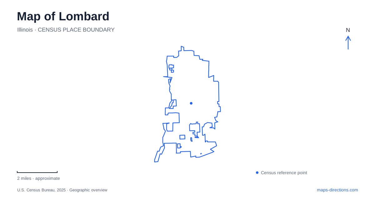
Street tiles load from OpenStreetMap when opened. The blue line shows the 2025 Census boundary.
- State
- Illinois
- Population · July 2025
- 44,399
- Land area
- 10.2 sq mi
- Water area
- 0.2 sq mi
Lombard has a compact historic landscape arranged around gardens, an active rail corridor, and two regional trails. Lilacia Park gives the center a horticultural identity, while the Sheldon Peck Homestead preserves an earlier period of settlement and abolitionist activity farther east. The Illinois Prairie Path and Great Western Trail add long east-west routes through this setting. Understanding how those places relate reveals more than a list of attractions: it shows different kinds of movement and public space layered into the village.
A private collection becomes a public garden
Lilacia Park stands at 150 South Park Avenue. Its collection includes more than 700 lilacs and tens of thousands of tulips, with walking paths, benches, a pond, and historic features arranged as a garden landscape. The park received National Register recognition in 2019 for its contribution to horticultural history. That status reflects the significance of a cultivated collection and its design, rather than simply the age of the land.
The park's origin lies in Colonel William Plum's bequest. After his death in 1927, residents accepted the terms of his will, which gave the grounds for a public park and intended the family house to serve as a library in memory of his wife. The park district then commissioned landscape architect Jens Jensen to shape the former estate into a community garden.
For Lombard, this created a public center from a private horticultural interest. The resulting space was designed for people to gather and move through, not just for individual plants to be displayed. Paths, open lawns, and views toward the pond are consequently as important to understanding the park as the seasonal color of its flowers.
The landscape has a stage
The Players Green illustrates that connection between design and community activity. It extends west from the pond as an open meadow, with Players Hill providing a viewpoint. The historical society's account describes how Jensen rearranged the Plum collection, replacing the estate's study-and-cultivation layout with a public landscape that could accommodate performances and spectators.
Early Lilac Time celebrations included elaborate pageants with actors, costumes, and constructed props. Later traditions retained the selection and presentation of a Lilac Court. This history explains why an apparently simple lawn carries a name associated with performers. The garden was intended to support public culture as well as horticulture, and its open spaces preserve that relationship.
Spring bloom is only one expression of the design. Outside the flowering period, the pond, paths, changes in level, and gathering areas remain the framework of the park. They make it possible to read the landscape even when its most famous plants are not in flower.
An earlier home at St. Charles Road
The Sheldon Peck Homestead places Lombard within the history of the Underground Railroad. Sheldon and Harriet Peck arrived in the settlement then known as Babcock's Grove in 1837 and completed their house in 1839. Today it stands at 355 East Parkside Avenue, at the southwest corner of St. Charles Road and Grace Street, near the Commons recreation grounds.
Peck was both a portrait artist and an abolitionist. The homestead entered the National Park Service's Network to Freedom in 2011 as a documented Underground Railroad location. His son Frank's recollections describe freedom seekers staying with the family, including a man remembered as Old Charley. The historical society also states that the exact hiding places on the property are unknown.
That distinction matters when viewing the site. The verified history belongs to the household and its actions; it does not justify inventing a secret room or tunnel. The house has also changed physically over time, with later alterations subsequently reversed during restoration. It is a preserved and interpreted historical property, with its architectural story extending beyond the original construction date.
Two trails framing downtown
The Great Western Trail runs north of downtown Lombard and provides access toward the Commons and Westmore Woods, with Churchill Woods beyond the village boundary. The Illinois Prairie Path passes south of downtown, following a corridor parallel to South Broadway Avenue and Willow Street. Both run generally east-west, but they occupy separate alignments on opposite sides of the central area.
The village's bicycle and pedestrian plan places the Metra station and downtown between these regional corridors. This arrangement makes rail, local streets, and trails part of a closely spaced network, though changing from one corridor to another involves local connections. The trails also extend the geographical frame beyond the garden and historic house, toward neighboring communities and wider county routes.
A map of Lombard is therefore especially informative when it shows the rail line, both trails, and the historic sites together. Their relationships explain how a village center, regional travel routes, and preserved places share the same relatively compact landscape.
Map and statistics: U.S. Census Bureau, 2025 Gazetteer, January 2025 generalized place boundaries and Vintage 2025 population estimates. Local references: Lombard Park District; Lombard Historical Society; Village of Lombard. Article prepared by Maps & Directions.