Map of Logan
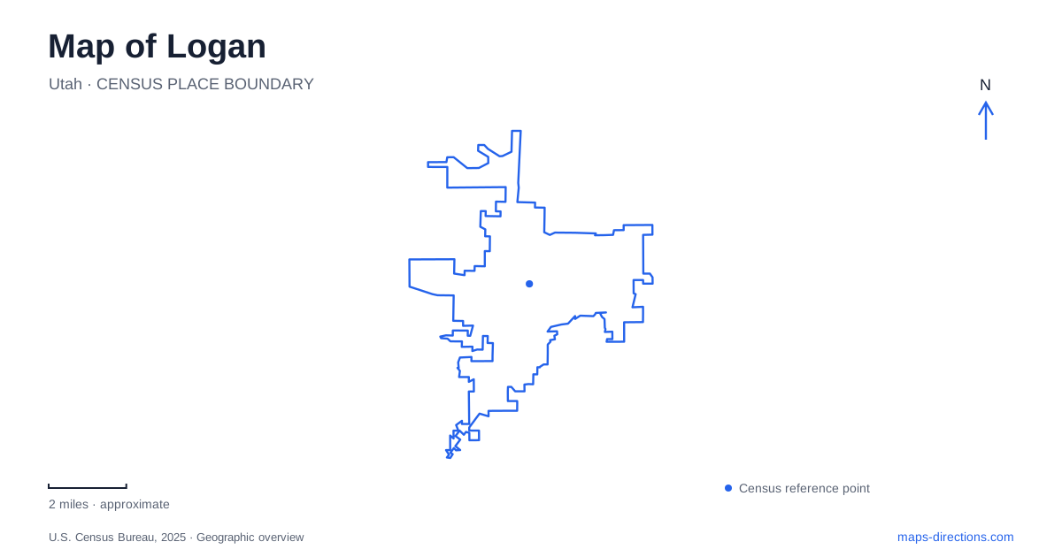
Street tiles load from OpenStreetMap when opened. The blue line shows the 2025 Census boundary.
- State
- Utah
- Population · July 2025
- 55,576
- Land area
- 18.1 sq mi
- Water area
- 0.6 sq mi
Logan occupies a setting where downtown streets, a university bench, and a mountain canyon belong to different elevations and scales. Main Street provides a civic and commercial spine in the valley, while Utah State University's Old Main stands above a broad hillside. Farther east, US Highway 89 enters the mountains toward Bear Lake. The river also continues through lower parks away from the canyon mouth. A map becomes especially useful here when it shows those relationships, rather than presenting every outdoor destination as part of one mountain excursion.
Main Street's cultural anchors
Several downtown landmarks can be located through Main Street addresses. The tabernacle is at 50 North Main, while Carol and Jim Laub Plaza is at 55 North Main. Their close relationship places an established religious and civic landmark beside a newer public gathering space. The plaza hosts community activities, giving the central district a place to pause beyond its storefronts and restaurants.
South of Center Street, the Ellen Eccles Theatre stands at 43 South Main. The restored theater reopened under that name in 1993 after a major preservation effort. Its neoclassical interior and performance role make it a different kind of downtown destination from the open-air plaza. Together, the two suggest how an outing can shift between outdoor gathering space and a scheduled cultural event within the same central corridor.
For a downtown visit to Logan, the north and south designations are meaningful. Center Street separates these nearby addresses and provides an easy reference for organizing a short walk. This small-scale street framework is useful before expanding the itinerary toward the university or river parks, where distance and terrain begin to matter more than proximity along one commercial street.
Old Main Hill and the campus bench
Utah State's Old Main is a landmark with an intentionally prominent setting. The university's campus planning history describes the building's position on a promontory as a visual anchor for what is now Fifth North. The open hillside below it was preserved, while the quadrangle developed on the bench to the east. This arrangement explains the building's visual importance from the city and the very different spatial character found behind it on campus.
The first wing was built in 1889 and opened for classes in September 1890. Later changes enlarged the building, so its form reflects the early institution's growth rather than a single unaltered construction phase. The university's archives preserve drawings that show the development of that plan.
For map reading, Old Main Hill is more than a patch of green below a campus symbol. It marks the transition from valley streets to the academic bench. A route approaching the landmark from below involves a climb, while movement among the quadrangle buildings takes place in a different arrangement of pedestrian ways and open spaces. Choosing a campus destination by building name helps clarify which side of that transition the visit actually requires.
River parks in the lower landscape
The Logan River Trail connects the Rendezvous Park and Trapper Park area. The county records improvements to that trail connection, while city planning documents place Rendezvous near 1500 South and US 89–91 and Trapper at 1497 South 1600 West. These addresses locate the outing well away from the mountain canyon entrance, within the city's southern and western landscape.
The river corridor here passes open space and agricultural land as well as developed areas. It offers a way to explore the watercourse after it has left the mountain setting. That makes the park-to-park trail a different choice from a canyon hike: the organizing feature is a lower river corridor with urban access points, rather than a drive into steep surrounding terrain.
The city's Blue Trail planning also concerns this watercourse, but a water-trail proposal and an established land path are different kinds of route. For a walk or bicycle outing, the park connections provide the appropriate geographic framework. Paddling requires separate information about access, conditions, and river management.
Highway 89 into the mountains
Logan Canyon follows US Highway 89 eastward from the city toward Bear Lake. The scenic byway passes limestone cliffs, forested slopes, and numerous named recreation sites. Its overall length makes it a regional journey rather than an extension of a downtown stroll, even though the canyon begins close to the urban edge.
The Forest Service identifies the Riverside Nature Trail along the river between the canyon mouth and Spring Hollow Campground. This offers a more focused lower-canyon destination than trying to combine every viewpoint and trailhead along the byway. Higher lakes and side roads belong to a larger mountain itinerary, with conditions that differ from those in town.
A useful map of Logan therefore keeps four settings in view: the Main Street cultural district, Old Main's hillside and campus bench, the lower river parks, and the Highway 89 mountain corridor. Moving between them reveals how the city belongs to both Cache Valley and the mountains without confusing their very different kinds of access.
Map and statistics: U.S. Census Bureau, 2025 Gazetteer, January 2025 generalized place boundaries and Vintage 2025 population estimates. Local references: Cache Valley Visitors Bureau; Salt Lake County Arts and Culture; Utah State University; Utah State University Library; Cache County; City of Logan; US Forest Service. Article prepared by Maps & Directions.