Map of Lodi
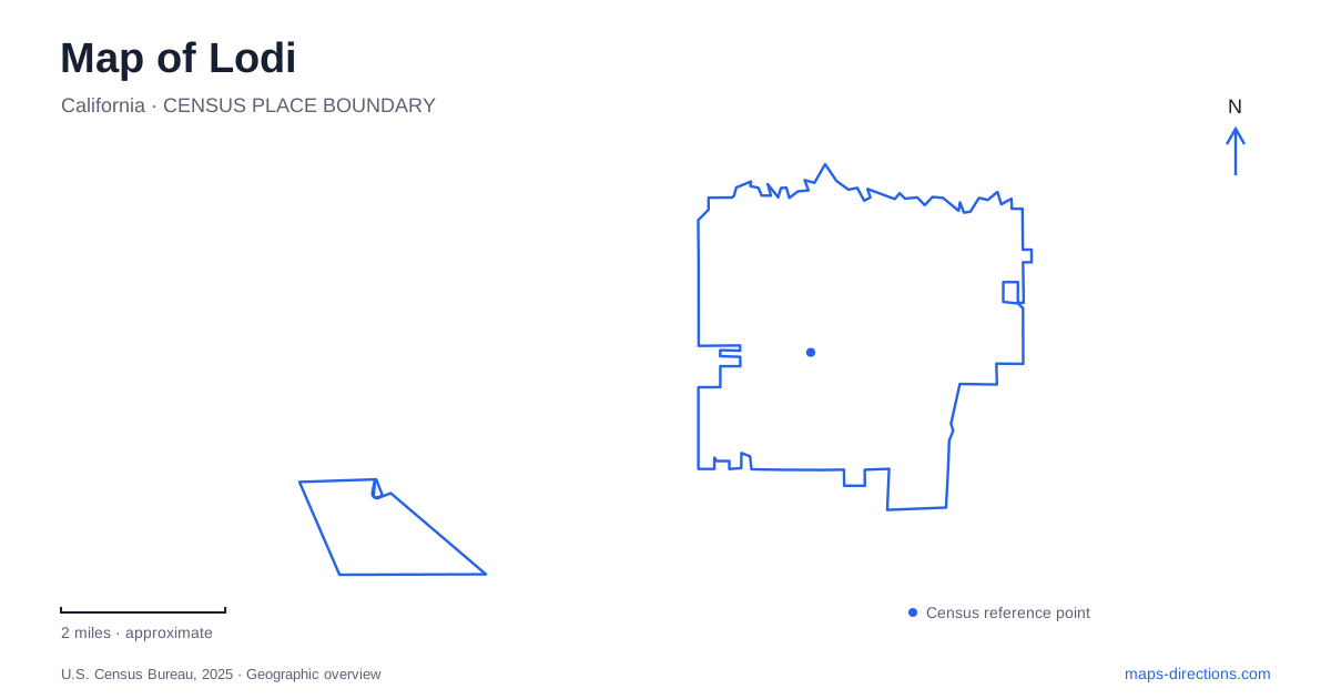
Street tiles load from OpenStreetMap when opened. The blue line shows the 2025 Census boundary.
- State
- California
- Population · July 2025
- 69,100
- Land area
- 13.7 sq mi
- Water area
- 0.2 sq mi
Lodi's downtown began around a railroad reservation, and that origin remains useful for interpreting its streets and landmarks. Sacramento Street and the rail corridor form one historical spine, while the Mokelumne River and its parkland offer a different landscape nearby. South of the central city, Micke Grove brings gardens, a zoo, and county history together in a regional park. These settings connect agricultural history, public recreation, and the reuse of civic space.
A railroad town and a moved passenger depot
The municipal transit history dates the railroad reservation to 1869, when the town was surveyed under the name Mokelumne. The reserved area lay between the tracks and Sacramento Street, extending from Walnut to Locust. Rail service answered agricultural shipping needs, so the depot's position was closely tied to the economic purpose of the new town. The name changed in 1874 to avoid confusion with other places using Mokelumne.
A new Southern Pacific passenger depot opened north of Pine Street in 1907. Much later, the building was moved to accommodate a long passenger platform without blocking Pine Street; the station reopened at 24 South Sacramento Street in 1999. This movement is a useful caution when comparing old photographs with current maps. The historic depot remains part of the downtown railway story, but its modern position reflects a later transportation project.
An arch built for the grape celebration
The Lodi Mission Arch stands at Pine and Sacramento streets. Designed by E. B. Brown and built in 1907, it provided a ceremonial entrance for the Tokay Carnival, an early grape festival. Its purpose connects architecture with agricultural promotion: the arch welcomed visitors to a commercial celebration of the surrounding crop economy. It was not originally a remnant of a Spanish mission complex.
That distinction makes the monument more interesting, because the Mission-style form was deliberately used to present a modern town and its agricultural identity. The intersection also places it within the same downtown geography as the railway facilities. A short examination of this area can therefore connect transport infrastructure, commercial streets, and civic image-making without leaving the central blocks. The arch's visibility is part of its historical function as well as its present-day appeal.
A former school site became a community complex
Hutchins Street Square at 125 South Hutchins Street represents another phase of civic reinvention. The municipal arts and recreation complex occupies the former high-school site, which suffered a major fire in 1974. Community leaders developed a new vision for the property, and it evolved into a place for performing arts, conferences, recreation programs, and other public activities.
The result is a substantial cultural campus rather than a conventional public square defined only by surrounding streets. Its neoclassical architectural character and multiple uses help explain the large building footprint visible on a map. A performance, community class, or meeting may use different parts of the same complex. The site's educational past and contemporary civic role also connect two generations of public gathering in a single location.
The river park has several kinds of water access
Lodi Lake Park's principal address is 1101 West Turner Road. Its facilities include picnic areas, paths, a boat ramp, and a seasonal swimming beach. The city separately identifies a western trail entrance on Lower Sacramento Road, so the park's pedestrian geography extends beyond the main vehicle gate. Recognizing that second edge makes the surrounding road pattern easier to interpret.
The boathouse offers paddling activities associated with the Mokelumne River, while the beach has a defined summer season. These are different uses of adjoining water landscapes. The city specifically prohibits swimming in the river, so a paddling connection should not be read as permission to swim wherever water appears on the map. Lodi's riverfront is most useful to visitors when the lake beach, launch facilities, trails, and river channel remain distinct features rather than one general recreation symbol.
Micke Grove and the county's agricultural record
Micke Grove Park at 11793 Micke Grove Road combines several destinations on one property. Wortley Lake, shaded lawns, a Japanese garden, the zoo, and the San Joaquin County Historical Museum give the regional park a different character from the downtown cultural complex or river corridor. A plan for the museum can readily include the surrounding landscape, while still recognizing each attraction's separate role.
The museum's first exhibition building opened in 1971 and bears William G. Micke's name. Its collections include horse-drawn vehicles, grain and dairy history, and a 1920s Durant automobile converted into a farm mower. That last object makes agricultural adaptation unusually tangible. Together with the downtown railway reservation and grape arch, the museum shows how production, transport, and local invention shaped Lodi and the county around it.
Map and statistics: U.S. Census Bureau, 2025 Gazetteer, January 2025 generalized place boundaries and Vintage 2025 population estimates. Local references: City of Lodi; Visit Lodi; San Joaquin County Historical Museum. Article prepared by Maps & Directions.