Map of Livermore
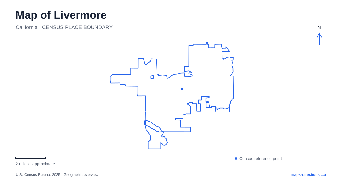
Street tiles load from OpenStreetMap when opened. The blue line shows the 2025 Census boundary.
- State
- California
- Population · July 2025
- 83,457
- Land area
- 26.6 sq mi
- Water area
- 0.0 sq mi
Livermore changes character markedly between its downtown streets and the open-space approaches to the south. First Street and Railroad Avenue help define the central arts and commercial area. Farther out, Arroyo Road, Mines Road and Del Valle Road lead toward different recreation entrances. These routes should be understood as distinct corridors, even where their destinations share creek names or appear close together on a regional map.
First Street and Railroad Avenue frame downtown destinations
The city's downtown revitalization program identifies the area bounded by First Street, Railroad Avenue and L Street as a focus of redevelopment. That gives a useful geographical frame for reading project maps. It also explains why downtown information may discuss parking structures, pathways, streetscapes and public spaces together: the work concerns a district rather than an isolated building.
Bankhead Theater provides a concrete destination within the central area. Its operator lists the theater at 2400 First Street and identifies a passenger drop-off area on Railroad Avenue. The difference between the mailing address and the drop-off street is meaningful. A theater visit can involve approaching one side of the block by vehicle and entering the building from another part of its setting.
Use the surrounding streets to understand the block instead of treating every theater-related direction as a competing address. First Street describes the venue's published location, while Railroad Avenue helps explain a particular arrival function. This is especially useful when comparing a walking route through downtown with instructions intended for a driver dropping off passengers.
The civic destination lies along the southern avenue
Civic Center Library is at 1188 South Livermore Avenue, with College Avenue identified by the library as its nearest cross street. The library's directions also place City Hall and the police station immediately before it when approaching from the north. This is a public-service cluster with a different role from the First Street arts blocks.
A map can therefore separate a downtown outing from a civic-center appointment without treating them as unrelated parts of town. The north-south avenue supplies the connection, while College Avenue narrows the final location. If a search gives several library branches, the Civic Center name and the 1188 address identify this particular building. The branch name carries useful geographical information that the general word “library” does not.
Sycamore Grove has several named arrival areas
Sycamore Grove Park publishes a detailed entrance list. The Wetmore Road entrance is at 1051 Wetmore Road, while the Arroyo Road entrance is at 5049 Arroyo Road. The ranger station picnic area has its own address, 5035 Arroyo Road, and the nature-area entrance is listed at 4356 Arroyo Road. Those differences matter when arranging a group activity or deciding which part of the grounds to explore.
For a Livermore park outing, choose among these named areas before comparing routes. A reservation associated with the ranger station picnic area is more specific than a general visit to the park. Wetmore Road and Arroyo Road represent different approaches to the same open-space property. The park's broad outline is useful for understanding its extent, but the entrance list explains how an actual visit begins.
The recreation district also distinguishes this property from East Bay Regional Park District parks. Its FAQ states that a regional-district annual pass does not cover Sycamore Grove. The nearby open spaces may form a continuous-looking landscape on a map while belonging to different managing agencies. That distinction explains why visitor arrangements should be checked for the named park rather than assumed to apply throughout the valley.
Del Valle's two approaches serve different parts of the park
Del Valle Regional Park's main entrance is on Del Valle Road off Mines Road. The regional park district separately identifies the Arroyo Road Staging Area, reached by continuing along Arroyo Road beyond the veterans hospital and Sycamore Grove. These are not alternative spellings of one entrance. They describe separate approaches to the larger park landscape.
When leaving Livermore for Del Valle, decide whether the destination is the main recreation area or the staging area. The district's recreation map directs visitors heading to the southern swimming beaches and picnic areas toward the Del Valle Road entrance. An address or map result associated with Arroyo Road can therefore be correct for the park while being inappropriate for that particular outing.
The road names also require attention at the Mines Road junction. The official directions distinguish the continuation onto Del Valle Road from Mines Road's separate course. Following the general name of the surrounding recreation area is less informative than following the specified entrance corridor. This is a local routing distinction that becomes obvious on a detailed road map but can disappear when viewing the entire valley at once.
Read the city and open space at different scales
A useful Livermore map connects downtown blocks, the civic avenue and the southern recreation corridors without merging their arrival details. First Street and Railroad Avenue explain the theater block. College Avenue locates the library area. Wetmore and Arroyo roads distinguish park entrances, while Mines and Del Valle roads identify the main reservoir approach. Keeping those relationships visible produces a practical picture of a place whose compact urban destinations and extensive open spaces require very different map scales.
Map and statistics: U.S. Census Bureau, 2025 Gazetteer, January 2025 generalized place boundaries and Vintage 2025 population estimates. Local references: City of Livermore; Livermore Valley Arts; Livermore Public Library; Livermore Area Recreation and Park District; East Bay Regional Park District. Article prepared by Maps & Directions.