Map of Littleton
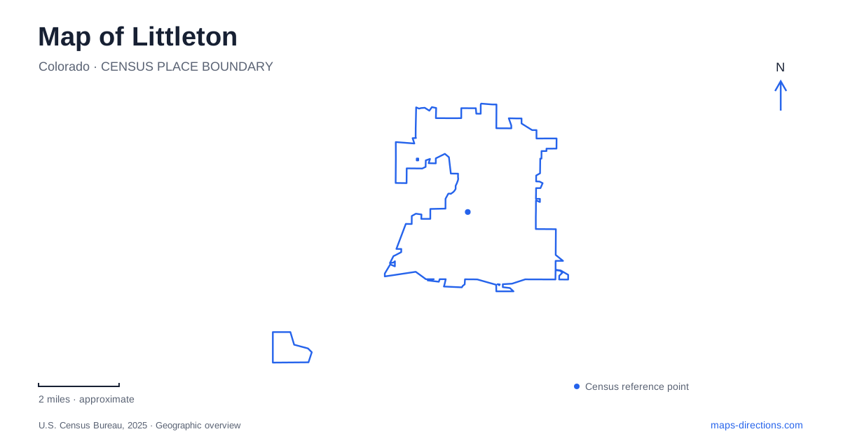
Street tiles load from OpenStreetMap when opened. The blue line shows the 2025 Census boundary.
- State
- Colorado
- Population · July 2025
- 46,246
- Land area
- 12.6 sq mi
- Water area
- 1.1 sq mi
Littleton combines a small historic downtown with a much larger river and recreation landscape. Main Street supplies one kind of orientation, while Santa Fe Drive, Mineral Avenue, and the South Platte River establish another. A museum with working historical farm settings adds a third destination away from the central storefronts. The map becomes more revealing when these places are connected by their actual geography rather than treated as parts of a single compact attraction district.
Main Street has a recognizable historic scale
The municipal history places the old town hall in the middle of a four-block Main Street, describing it as a downtown focal point. This scale is useful: the historic core can be understood through a short sequence of blocks and cross streets, even though the wider city extends well beyond it.
Prince, Nevada, Curtice, and Rapp streets help identify individual portions of that center. Alamo Avenue is another important downtown reference. Together, these names provide a more precise framework than a single downtown marker, especially for a visit that includes several storefronts or a cultural event.
The city has also developed plans for changes to its downtown streets and public spaces. Those plans reveal how Main Street and the connecting routes are intended to work, but proposed illustrations should not be mistaken for a record of completed construction. The historical block pattern is a stable orientation point; the detailed arrangement of public space can change as projects proceed.
Two railway names describe different arrival areas
RTD lists Littleton / Downtown and Littleton / Mineral as separate stations. The first is associated with South Prince Street and the downtown area; the second is at 3203 West Mineral Avenue, near Santa Fe Drive. Their shared city name is less useful for selecting a stop than the second part of each station name.
A downtown outing and a visit near Mineral Avenue are therefore different rail arrival decisions. The line connects the two areas, but it does not make their local street settings interchangeable. Locating the destination before choosing the station is particularly helpful when a park or meeting venue uses a broad city address without mentioning the neighborhood.
The stations also make the relationship between the compact center and the southern recreation landscape easier to see. One belongs to the Main Street and Prince Street context; the other supplies a named reference close to the Mineral and Santa Fe intersection.
Gallup Street leads to a different account of the past
The Littleton Museum is at 6028 South Gallup Street. Its exhibits include an 1860s homestead farm and an 1890s urban farm, representing different stages of life in the South Platte River Valley. These outdoor settings complement galleries and research collections rather than simply decorating the grounds around a conventional exhibition building.
The distinction between the two farms is part of the museum's interpretation. The homestead setting represents an earlier period of settlement, before railway travel shaped the local economy in the same way; the later farm introduces a different relationship with a growing town. A visitor can compare ways of working and living within one museum site.
On the city map, however, that site should remain separate from the historic Main Street blocks. Both help explain the past, but one preserves an urban street setting while the other interprets daily life through deliberately maintained farm environments.
The river corridor is larger than one park entrance
South Platte Park protects an extensive stretch of river habitat, including cottonwood forest, wetlands, and lakes. The Mary Carter Greenway passes through the setting, while natural-surface walking paths offer another way to explore. A paved regional route and a path intended for closer observation of habitat can serve different purposes within the same open space.
Carson Nature Center is at 3000 West Carson Drive, north of Mineral Avenue and west of Santa Fe Drive. These two major-road references place the center clearly within the wider map. The building contains an interactive river table that interprets the area's 1965 flood, connecting the recreation landscape with the river's capacity to reshape the valley.
The park's history includes its establishment in 1983, following the era of that major flood. Looking at the open space with this history in mind gives the river more significance than a scenic line beside a bicycle path. It is an environmental system around which public land and recreation have been organized.
Lakes and river have different uses
The recreation district distinguishes the park's lakes from the river: nonmotorized vessels are allowed on the river, while the lakes are for shore-based use. This is an important map-reading distinction because adjacent blue shapes can look like equivalent boating destinations. Their management and permitted uses differ.
A map of Littleton can thus support several distinct outings: a few historic downtown blocks, a museum visit on Gallup Street, or a longer experience along the river and greenway. The best starting reference changes with the activity. Keeping the stations, streets, museum grounds, and waterways clearly identified makes those choices understandable before the journey begins.
Map and statistics: U.S. Census Bureau, 2025 Gazetteer, January 2025 generalized place boundaries and Vintage 2025 population estimates. Local references: City of Littleton; RTD; Littleton Museum; South Suburban Parks and Recreation. Article prepared by Maps & Directions.