Map of Linden
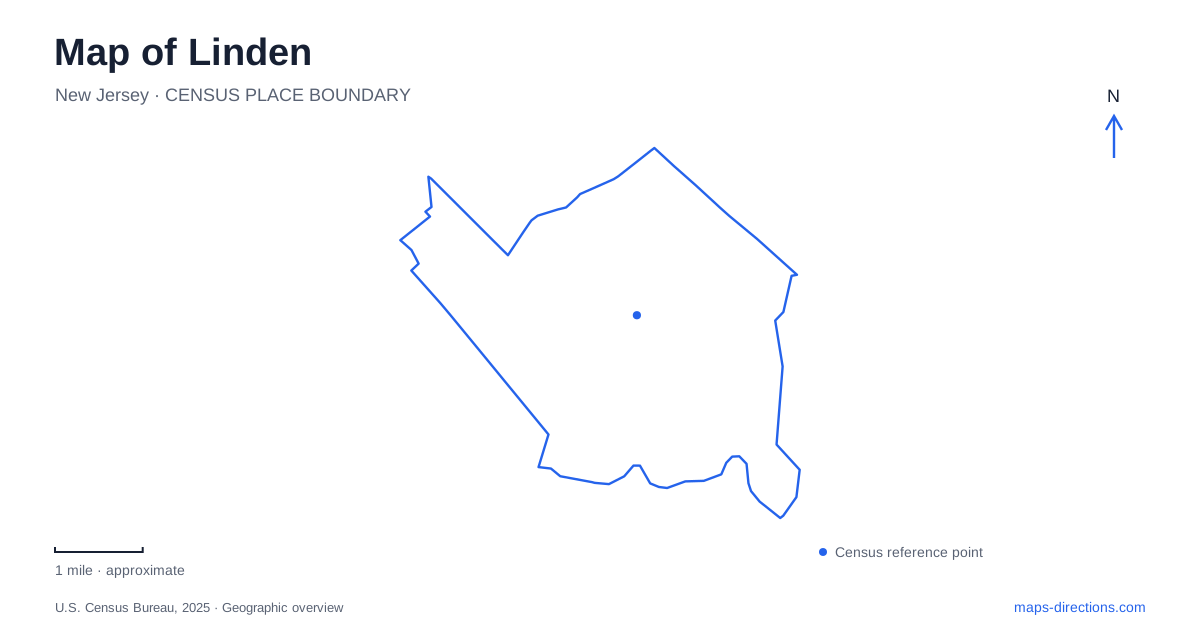
Street tiles load from OpenStreetMap when opened. The blue line shows the 2025 Census boundary.
- State
- New Jersey
- Population · July 2025
- 45,752
- Land area
- 10.7 sq mi
- Water area
- 0.7 sq mi
Linden brings together rail travel, busy road corridors, neighborhood recreation, and a restored wetland landscape. The contrast is especially clear between the Wood Avenue station area and Hawk Rise Sanctuary near the Rahway River. Both belong on a local map, but they explain very different parts of the city. One is organized around everyday movement through the rail network; the other reveals habitat and open space within an area strongly influenced by industrial land uses.
Wood Avenue as a station reference
The NJ TRANSIT station is on South Wood Avenue, approximately half a mile west of Routes 1 and 9. That relationship is a useful first reference because it places the rail stop within the street network rather than leaving it as an isolated transit symbol. Elizabeth Avenue and Wood Avenue identify one of the station’s parking areas, connecting the station name with streets a visitor can recognize.
For a map of Linden, keep the railway, Wood Avenue, and Routes 1 and 9 visible at the same time. The station and the highway corridor are nearby features with different roles. A route to a rail platform ends within a local station setting, whereas an address on the larger road corridor may involve a different approach and destination frontage.
The station’s parking areas are also separate from the platform itself. When planning a rail journey that starts by car or bicycle, the useful map includes the arrival point and the remaining movement into the station. NJ TRANSIT lists bicycle storage and accessibility among its station facilities, but those features do not turn every surrounding curb or lot into an equivalent place to arrive.
A restored landscape at the river edge
Hawk Rise Sanctuary is reached from the end of Range Road. The preserve encompasses about 95 acres, with roughly a mile and a half of flat trails. Its setting near an industrial corridor is part of what makes it distinctive. The area combines forest and wetlands beside the former landfill rather than presenting an untouched landscape detached from the city’s history.
New Jersey’s environmental agency connects the sanctuary’s creation with the cleanup and closure of the landfill along the Rahway River. The resulting conservation area and surrounding habitats became a core part of a local greenway. This history helps explain what the map shows: open space beside land that once served a very different purpose.
Hawk Rise adds an important dimension to Linden’s geography. A lookout at the end of the landfill trail faces the river and nearby bird habitat. From a map-reading perspective, the river, wetland, wooded trail, and former landfill are related features. The interest lies in that combination, rather than in treating the preserve as a conventional recreation field with trees around its edge.
Wheeler and the neighborhood park network
Wheeler’s recreation grounds occupy a different setting, near West Stimpson Avenue and the Routes 1 and 9 corridor. The county identifies the spray park at 248 West Stimpson Avenue. This is a developed aquatic recreation destination, distinct from the nature trails at Hawk Rise and subject to its own seasonal operation.
Other parks help locate residential parts of Linden. Tremley Park is at Main Street and Wood Avenue, while Woodrow Wilson Memorial Park is on Academy Street between Orchard and Summit. The latter includes court sports, play facilities, and fishing among its listed activities. These locations give a map several neighborhood-scale anchors beyond the station and major road corridor.
The Wanda Anita Green Memorial Park at Grier Avenue and Mack Place has a different purpose again, incorporating a United Airlines Flight 93 memorial. Its name and commemorative role should remain visible rather than disappearing into a generic list of recreation sites. A memorial, a sports park, and a conservation area represent distinct uses of shared civic space.
Combining transport and environmental geography
The strongest local overview keeps Wood Avenue and the rail station together, identifies West Stimpson Avenue for Wheeler, and follows Range Road to Hawk Rise. That combination shows how transportation, neighborhood amenities, and river-edge restoration coexist within a relatively compact map.
Linden is easier to understand when these places retain their individual identities. The station describes movement beyond the city; the neighborhood parks describe daily local recreation; and Hawk Rise describes the recovery of habitat within an industrial setting. Reading all three layers produces a more useful guide than relying only on the largest roads or the nearest green patch.
Map and statistics: U.S. Census Bureau, 2025 Gazetteer, January 2025 generalized place boundaries and Vintage 2025 population estimates. Local references: NJ TRANSIT; New Jersey Audubon; New Jersey Department of Environmental Protection; City of Linden; Union County. Article prepared by Maps & Directions.