Map of Lincoln Park
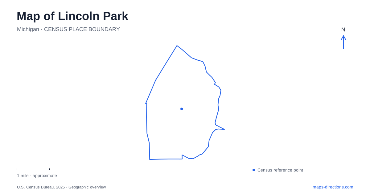
Street tiles load from OpenStreetMap when opened. The blue line shows the 2025 Census boundary.
- State
- Michigan
- Population · July 2025
- 38,529
- Land area
- 5.8 sq mi
- Water area
- 0.0 sq mi
Lincoln Park's history can be read through a renamed road, a former post office and the creek corridor that interrupts its developed blocks. The business district emerged around Fort Street and the route now called Southfield Road, while Council Point Park provides a different kind of place along the Ecorse waterway. These are complementary reference points: one explains commerce and civic life, the other the landscape through which water moves. The city belongs to Michigan's Downriver region, but its local water setting should not be confused with a direct Detroit River promenade. The Ecorse corridor has its own banks, drainage history and recreation spaces. Understanding that distinction makes a regional map more useful when choosing a specific waterside destination.
An older road beneath a modern name
The Historical Society identifies Southfield Road's earlier names as St. Cosme Line and, later, State Street. Its account places early-twentieth-century general stores at the junction with Fort Street. A reference to State Street in a local historical document may consequently describe the same corridor now found under a different name.
The society also describes the area's long, narrow farm parcels and the family names that survived into later community history. That agricultural pattern preceded the dense residential landscape. Streets and property divisions can preserve traces of earlier land use even after the farm buildings disappear.
Lincoln Park became a village in 1921 and a city in 1925. The museum celebrated the latter centennial in 2025. These dates describe successive municipal forms, not the beginning of human activity in the area. The local historical account recognizes the Potawatomi presence before European settlement.
The post office becomes a museum
The Historical Museum occupies the former post office at 1335 Southfield Road, on the corner with Fort Park. Fort Park is a separate street name from Fort Street, so retaining the full address avoids a potentially confusing search result.
The museum directs visitors to a rear entrance with an accessibility ramp. This is a practical example of why a building's most visible frontage and its convenient visitor approach need not be the same. The street-corner landmark locates the property, while the entrance information locates the way inside.
Collections of objects, printed material and photographs document Lincoln Park's community history. Their presence in a reused postal building creates two layers of interpretation: the structure records an earlier public service, and the collection explains other places throughout the city. A map pin shows only the first of those layers unless it is paired with the museum's broader role.
Preservation includes reuse and loss
The local Preservation Alliance records contrasting outcomes for two prominent buildings. The Park Theatre, built in 1925 and designed by C. Howard Crane, was eventually converted into residential lofts after years of closure. Its former entertainment identity remains part of the building's history, but it should not be treated as a current public movie theater.
The Mellus Newspapers Building had a different outcome. Despite its National Register listing and a proposed reuse, it was demolished in May 2010. The alliance records the subsequent open-space use of its site. An older historic-building list can therefore identify an important former location without proving that the structure survives.
These examples give Lincoln Park a useful preservation lesson. Recognition, survival and public access are separate questions. A historic designation may explain why a property mattered; a current map and operator information establish what remains and how it is used today.
Council Point and the creek setting
The city's recreation inventory identifies Council Point as a substantial community park with a paved walking area. The creek gives this open space a different outline from the surrounding street blocks. Its banks form part of a drainage landscape, not merely an ornamental edge around lawns and paths.
Municipal planning material also identifies the park path as a possible starting element for wider greenway connections. The wording of such plans matters: a corridor proposed for connection does not automatically create a continuous public route to the Detroit River. A visitor should distinguish the established park paths from a broader planning vision.
The 2019 city master plan highlights Council Point and other green spaces as areas with less impervious cover than much of the developed city. That observation connects the park to stormwater management as well as recreation. The amount of pavement upstream affects what reaches the creek after rainfall.
A watershed beyond the city line
Friends of the Detroit River works with local watershed organizations on Ecorse Creek restoration. Its program identified 85 potential project locations in 2022–23 and subsequently ranked them. Priorities include flood reduction, water quality, habitat and recreation access.
Those mapped proposals are evidence of an ongoing planning effort, not 85 completed restoration sites. The distinction is especially important when interpreting attractive concept drawings beside photographs of existing banks.
A map of Lincoln Park gains depth when these histories are connected: the renamed commercial road, the post-office museum, a theater reused as housing, a lost newspaper building and the creek's continuing environmental role. Each explains a different part of the community's physical form.
Map and statistics: U.S. Census Bureau, 2025 Gazetteer, January 2025 generalized place boundaries and Vintage 2025 population estimates. Local references: Lincoln Park Historical Society and Museum; Lincoln Park Preservation Alliance; City of Lincoln Park; Friends of the Detroit River. Article prepared by Maps & Directions.