Map of Lewiston
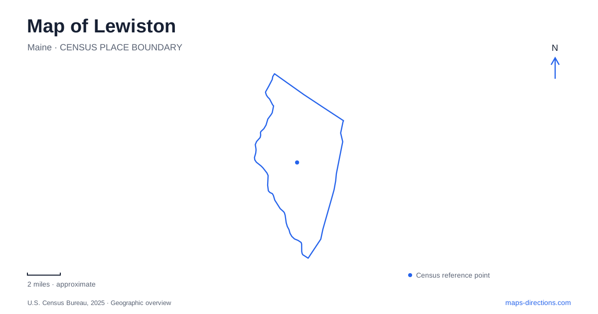
Street tiles load from OpenStreetMap when opened. The blue line shows the 2025 Census boundary.
- State
- Maine
- Population · July 2025
- 38,866
- Land area
- 34.1 sq mi
- Water area
- 1.4 sq mi
Lewiston, Maine, is a place where the shape of an industrial landscape remains central to reading the modern city. The Androscoggin River, mill canals, Lincoln Street, and Lisbon Street organize the downtown riverfront, while Bates College introduces a separate institutional landscape around its arts center and campus pond. Former workplaces and a former church now support museums and performances, making reuse an important part of the local geography. A map becomes more informative when those building histories remain attached to their locations.
The riverfront and its canals
Simard-Payne Park lies along the Androscoggin River within the Riverfront Island area. The city's riverfront planning addresses the canals, trails, park spaces, and connections back toward Lisbon Street. These are closely related parts of the downtown landscape, not separate decorative features. The canals help explain why streets, mill buildings, and open spaces take the forms they do.
Several completed improvements make that relationship tangible. A pedestrian connection from Lincoln Street opened in 2014, followed by the Beech Street vehicle bridge into the park in 2018. The city also acquired the canals in 2018 and later cleared and fenced portions near Oxford Street and the park. This history of incremental connections shows how Lewiston has adapted industrial infrastructure for contemporary public use. It also explains why looking for a named bridge or street connection is more useful than assuming every mill-side route leads directly to the river.
Maine MILL's new riverfront address
Maine MILL, the Museum of Innovation, Labor, and Learning, now welcomes visitors at 1 Beech Street, with its entrance facing Simard-Payne Park. The museum moved from the Bates Mill Complex to a separate building formerly known as the Camden Yarns Mill in 2026. That change is important for anyone using an older guide or saved location: the museum's subject remains industrial and community history, but its arrival point has changed.
The institution began in 1996 to preserve objects and stories from the textile industry. Its collections also include oral histories that broaden the account of work and community. The location beside the park places those stories within the riverfront landscape that helped produce them. For a visit to Lewiston centered on labor history, the relationship between museum, mill building, canals, and river is as informative as the museum name itself.
Cedar Street and Franco-American heritage
The Franco Center stands at 46 Cedar Street in the former St. Mary's Church. Construction happened in two major stages: the lower church was in use by December 1907, while the upper structure was completed in 1927. The building's later conversion to a performing arts and heritage center continued its role as a gathering place while changing its principal use.
Its architecture is described by the center as Late Gothic Revival, combining English and French Gothic elements. The exterior uses granite from Jay, Maine, with carved limestone details. These specifics distinguish the building from a generalized historic-church label. Its location near the mill district also makes the connection between work, neighborhood, and community institutions visible. Tours interpret both the structure and the Franco-American people who built and used it; the accessible elevator approach is on the Lincoln Street side.
Art at Bates College
The Bates College Museum of Art occupies the Olin Arts Center at 75 Russell Street. Its permanent holdings include works by Marsden Hartley, who was born in Lewiston and became a prominent American artist. The museum's place within a teaching and performance complex gives it a different setting from the riverfront history museum.
The address is useful because the word Bates appears across the city's industrial and educational history. The Bates Mill Complex and Bates College are separate destinations, and the arts center belongs to the college campus. Russell Street therefore identifies an arts visit more precisely than the shared name alone. The nearby concert hall and campus landscape provide additional context for the museum without turning the whole college into a single undifferentiated attraction.
Lake Andrews and the campus landscape
Lake Andrews, often called the Puddle, developed from a seasonal stream dammed for early campus skating. Excavation and landscaping in 1958 formalized the pond, and restoration in 1998 improved its edges and water quality. The surrounding walk and granite amphitheater create a community setting near the Olin Arts Center.
The pond also receives campus runoff and helps prevent large rainstorms from overwhelming city drainage. It is consequently both a familiar landscape feature and part of local infrastructure. That dual role provides a fitting counterpart to the downtown canals. The map of Lewiston contains water shaped for industry, water managed for a campus, and a riverfront being reconnected to public life, with cultural institutions interpreting the people whose work and ideas continue to shape those places.
Map and statistics: U.S. Census Bureau, 2025 Gazetteer, January 2025 generalized place boundaries and Vintage 2025 population estimates. Local references: City of Lewiston; Maine MILL; Bates College; Franco Center. Article prepared by Maps & Directions.