Map of Leominster
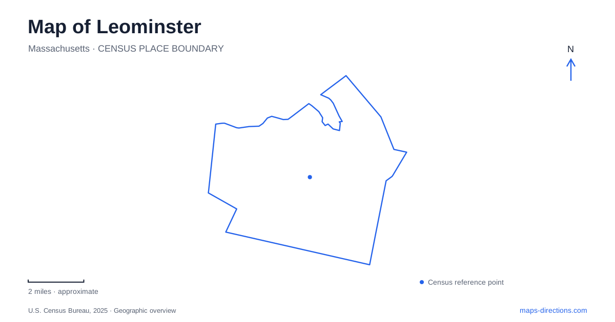
Street tiles load from OpenStreetMap when opened. The blue line shows the 2025 Census boundary.
- State
- Massachusetts
- Population · July 2025
- 44,194
- Land area
- 28.8 sq mi
- Water area
- 0.9 sq mi
Leominster's landscape changes markedly between the developed center and the granite hills to the west. Monoosnoc Brook passes through the urban area, while the ridge bearing the same name supports a much longer hiking network. An active orchard and a former private estate add two different kinds of preserved open space. These places share a regional setting, but their terrain, origins, and street connections give each a distinct role on the map.
A brook running through the built-up center
The Monoosnoc Brook Greenway follows the stream for about one mile between William Street and Commercial Street, passing behind the commercial area around Whitney Field. The city describes it as a short, flat path. Its surroundings make it an urban waterway route rather than a hike through the western hills, even though the brook and ridge share a familiar name.
Water also shapes the infrastructure beneath downtown Leominster. The city's stabilization project addresses stone walls along the brook and a large culvert beneath the municipal parking lot off Mechanic Street. The brook's route under Mechanic Street and the parking area behind Monument Square connects visible civic spaces with less obvious drainage infrastructure.
That work reveals a less obvious part of the street map. The stream continues through places where pavement and buildings dominate the view, and its channel depends on engineered structures. Downtown water management and the greenway are different expressions of the same brook within a developed landscape.
An estate preserved as public open space
Doyle Community Park at 464 Abbott Avenue occupies land donated by Louise Doyle, whose family wealth came from the plastics industry. The Trustees of Reservations now manage the property. Woodlands, fields, formal gardens, and remnants of the cultivated estate form a varied landscape rather than a single uniform park lawn.
More than three miles of trails include approximately a mile and a half designed for accessible use. Pierce Meadow adds ten acres of open space and large specimen trees. These features preserve a relationship between designed grounds and less formal areas, making it possible to move through several landscape types on one visit.
The industrial connection is part of the site's meaning. A family's economic history helped create the estate, while its later donation changed the land's purpose. Today the property offers public access to spaces that originally formed a private setting, retaining visible traces of that earlier use.
Farming continues on Pleasant Street
Sholan Farms gives Leominster a different model of land preservation. The 169-acre property at 1125 Pleasant Street is city-owned and operated by the nonprofit Friends of Sholan Farms. The city purchased it in 2001, when sixty acres were being farmed as an apple orchard. The volunteer organization subsequently adjusted the scale and mixture of cultivation to fit its operating capacity.
The farm remains productive rather than serving only as a historical display. Apples, other fruit crops, community activity, and seasonal events are part of its identity. Its fields and orchard therefore represent working land within the city's open-space system, with maintenance and harvesting shaping the landscape through the year.
The location also forms the southern end of the Monoosnoc Ridge trail system. That connection allows the orchard to be understood within the broader western landscape: cultivated slopes sit beside a network extending through wooded hills, reservoirs, and earlier industrial remains.
A ridge route with substantial changes in terrain
The western side of Leominster includes a series of granite hills crossed by the blue-marked Monoosnoc Ridge Trail. The route extends for more than nine miles from West Street toward Pleasant Street, climbing both North and South Monoosnoc hills. Yellow-marked side trails create additional connections rather than a single straightforward loop.
The city identifies viewpoints, rock formations, cellar holes, and the former Leavitt Quarry among the network's features. These details show that the woods contain evidence of extraction and settlement as well as natural terrain. A ridgeline map is especially useful here because elevation and side connections matter more than they do on the flatter brook greenway.
The state forest reaches beyond the city
Leominster State Forest has connections with the ridge network near Elm Street and Mount Elam Road, but its beach and contact station are listed at 1 Fitchburg Road in Westminster. The headquarters uses another address on the same road. The shared forest name therefore covers a wider geographical area than a downtown-based search might suggest.
Crow Hill Pond provides the designated swimming setting, Crow Hill Ledges attract climbers, and Paradise Pond has access from Route 31. A section of the Midstate Trail passes through the forest's western edge. These separate features make the forest a collection of terrain and access areas, with each road approach introducing a different part of the larger woodland landscape.
Map and statistics: U.S. Census Bureau, 2025 Gazetteer, January 2025 generalized place boundaries and Vintage 2025 population estimates. Local references: City of Leominster; The Trustees of Reservations; Friends of Sholan Farms; Massachusetts Department of Conservation and Recreation. Article prepared by Maps & Directions.