Map of Lenexa
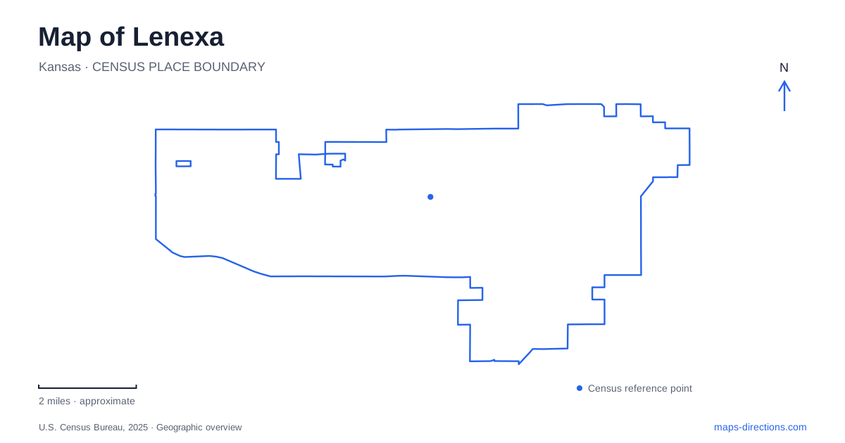
Street tiles load from OpenStreetMap when opened. The blue line shows the 2025 Census boundary.
- State
- Kansas
- Population · July 2025
- 60,506
- Land area
- 34.1 sq mi
- Water area
- 0.3 sq mi
Lenexa has an original town site and a newer City Center, and understanding the difference is the most useful first step in reading its map. Old Town grew beside the railway along Santa Fe Trail Drive. The modern civic district is organized around 87th Street Parkway near Renner Boulevard. Parks add two further reference points: Sar-Ko-Par Trails Park near Lackman Road and Black Hoof Park on Monticello Road. These places describe distinct stages and settings within the city's development.
Old Town preserves the railway settlement
The original town plat dates to 1869, when civil engineer Octave Chanute purchased land near the railroad right-of-way. Old Town began as a small area along Santa Fe Trail Drive and now refers more broadly to surrounding neighborhoods, businesses, churches, and civic uses. The railway still passes through the district, making the historic relationship visible in the present map.
This is the older center of Lenexa, and its geography is different from the newer civic campus. The street name, railway alignment, and compact settlement pattern provide the relevant reference points. A mention of Old Town is therefore not simply an informal way of saying City Center. It identifies a separate district whose history and street arrangement predate the modern campus.
The current activity-center campus also belongs to Old Town. Its presence shows that this is not a preserved historic enclave without contemporary functions. Older buildings and neighborhood streets coexist with active community facilities. For a visit, the district's defining feature is that mixture of original town geography and present-day civic use.
The newer civic district around 87th Street
City Center occupies the 87th Street Parkway and Renner Boulevard area, with the civic campus reached from streets including Penrose Lane and Winchester Street. City Hall, the Public Market, library, recreation center, and other facilities form a much larger planned collection of destinations than a single government building.
The Public Market occupies the lower level of City Hall on Penrose Lane. The Farmers Market is a separate operation associated with the bottom level of the civic parking garage. Those two market names are easy to confuse, but the campus arrangement gives each a distinct location and purpose. One is an indoor food hall; the other uses the garage-edge market space for scheduled vendor gatherings.
On a map of Lenexa, 87th Street provides the broad district reference while Penrose and Winchester explain the campus itself. The nearby library and recreation facilities make this a place where several errands or activities may be grouped geographically. The shared campus should not erase the individual building names, however: they describe separate destinations within a deliberately connected district.
Rose's Pond and the historic barn
Sar-Ko-Par Trails Park lies along 87th Street Parkway east of Lackman Road. The western approach is near the Legler Barn Museum, while Greenway Lane identifies the eastern side. This gives the park two useful road-based reference points before its internal landmarks are considered.
Within the grounds, paths circle Rose's Pond and connect recreation spaces, shelters, play areas, and the museum setting. The pond provides a visual center, while the barn and depot introduce local history within a larger active park. Rolling Magic Skate Park and the aquatic center add facilities that have their own distinct portions of the grounds.
The result is a park with several recognizable subareas. An outing focused on the museum belongs to the western reference point, while a gathering around the pond uses the water and nearby shelters as landmarks. These relationships make the park more legible than its long name alone. They also distinguish it from the civic campus, even though both use 87th Street as an important approach.
A larger water landscape at Black Hoof
Black Hoof Park is reached from Monticello Road and contains Lake Lenexa, a deep-water lake with a distinctive dam and spillway. Trails pass through open grass and woodland, creating a broader landscape than the pond-centered recreation setting at Sar-Ko-Par. The lake, spillway, and surrounding terrain are the organizing features here.
Oak Shelter occupies the northwestern part of the park near the woodland play area. Stone Wall Shelter is associated with another play area and the boat-ramp setting. Both are within the same park, but their names help identify which portion of the lake landscape an outing concerns. Monticello Road supplies the common western approach to the parking areas.
Taken together, these places give Lenexa several clear geographic anchors. Santa Fe Trail Drive explains the original rail settlement; 87th Street and its campus streets organize modern civic life; Rose's Pond anchors a varied community park; and Monticello leads to the larger lake landscape. The distinctions make it possible to understand the city through its actual places rather than assuming that every public destination belongs to one center.
Map and statistics: U.S. Census Bureau, 2025 Gazetteer, January 2025 generalized place boundaries and Vintage 2025 population estimates. Local references: City of Lenexa; Lenexa Chamber Convention and Visitors Bureau. Article prepared by Maps & Directions.