Map of Leesburg
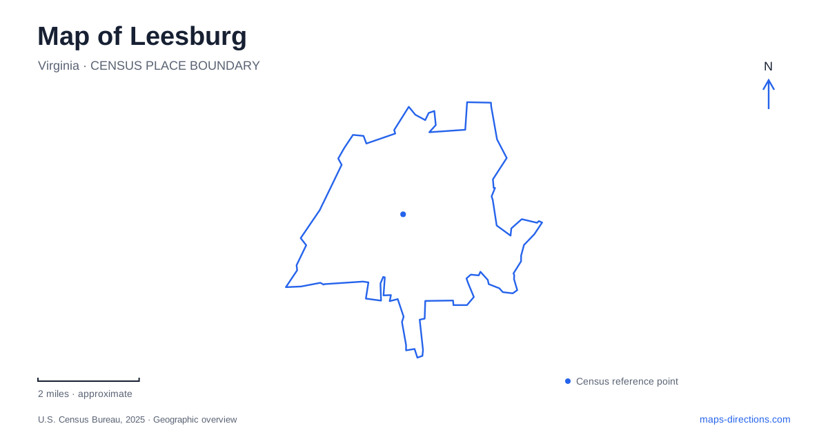
Street tiles load from OpenStreetMap when opened. The blue line shows the 2025 Census boundary.
- State
- Virginia
- Population · July 2025
- 49,917
- Land area
- 12.6 sq mi
- Water area
- 0.1 sq mi
Leesburg is best understood through the relationship between its historic streets and the landscapes around them. Market Street contains the courthouse complex, South King Street meets the former railway corridor, and Town Branch introduces a low-lying watercourse close to the center. Ida Lee Park provides a substantial recreation area, while Ball's Bluff preserves a very different landscape beside the Potomac. These places connect civic history, transport, recreation, and the physical terrain of a Civil War battlefield.
Market Street and the courthouse district
The courthouse complex at 18 East Market Street is an important anchor for the historic center. It is also an evolving collection of public buildings rather than one structure from a single period. County project documents distinguish the existing courthouse facilities from the neighboring historic Valley Bank building at 20 East Market Street. The latter is believed to date to the early nineteenth century and became a branch of the Bank of the Valley of Virginia.
The historic courthouse is named for civil rights attorney Charles Hamilton Houston. That name adds an important interpretive layer to a visit: this is a place associated with the administration of law and the struggle over equal treatment, not simply a picturesque architectural landmark. A walk through central Leesburg can take account of those civic associations while also noticing how court buildings, older commercial properties, and ordinary street activity occupy the same district.
Town Branch explains the southern edge
The Crescent District's planning history identifies Town Branch and the old Washington & Old Dominion railway as organizing features of the area south of the historic core. The freight station and railway-related uses once clustered near the line's intersection with South King Street. Industrial activities occupied much of the district well into the twentieth century.
Town Branch influenced that pattern. Its smaller tributaries complicated streets and development in the low-lying ground, while businesses associated with processing and industry occupied the creek corridor. This provides a useful explanation for the change in character beyond the central commercial blocks. The creek and railway did not merely pass through an already finished town; they helped determine which activities gathered there and how people moved among them.
A regional trail through town
The W&OD is now a 45-mile regional trail linking communities from Arlington through the northern Virginia suburbs to Purcellville. Leesburg is one of the intermediate towns on that route. It therefore functions both as a local path and as part of a much longer travel corridor. A short outing near South King Street and a regional cycling journey use the same infrastructure at very different scales.
The town's current South King Street project also shows that this setting continues to change. East-side improvements between South Street and Royal Street were completed in 2025, while further work on the west side is a separate phase. Plans for improved sidewalks or street surfaces should not be mistaken for evidence that every proposed connection is already finished. The established trail corridor and the surrounding street projects are related but distinct pieces of the map.
Ida Lee's recreation campus
Ida Lee Park occupies 138 acres made possible by a 1986 land donation. Its address system separates the recreation center at 60 Ida Lee Drive NW, the tennis center at 70, and the outdoor aquatic center at 80. These neighboring facilities sit within a broader landscape of walking trails, playing fields, playgrounds, and gardens.
For a map of Leesburg, this is a useful example of a park that contains several substantial destinations. The Master Gardeners' Demonstration Garden and community garden plots add quieter uses to the sports and aquatic facilities. A visitor can choose a walk through open space, a garden visit, or a scheduled recreation activity without treating the entire park as a single building. The shared drive helps connect those uses while the separate addresses clarify their arrangement.
The bluff, river, and battlefield
Ball's Bluff Battlefield Regional Park is reached from Ball's Bluff Road and overlooks the Potomac River. The battle took place on October 21, 1861. Its terrain is central to understanding the event: Union forces crossed the river, fought near the bluff, and were driven back toward the water after a Confederate counterattack.
The park's walking-tour account describes a relatively open meadow in 1861 bounded by rougher ravines. It also explains that early fighting occurred outside the present park boundary, near land now occupied by housing. That distinction helps a visitor understand the preserved area as part of a larger historical landscape. Woodland trails, interpretive signs, and the small national cemetery make this a different kind of excursion from downtown Leesburg. The river, bluff, and constrained ground explain the battlefield more clearly than a list of monuments alone.
Map and statistics: U.S. Census Bureau, 2025 Gazetteer, January 2025 generalized place boundaries and Vintage 2025 population estimates. Local references: Loudoun County; Town of Leesburg; NOVA Parks; National Park Service. Article prepared by Maps & Directions.