Map of Lebanon
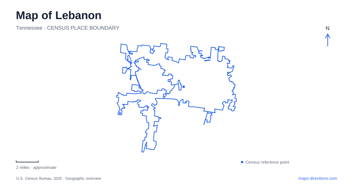
Street tiles load from OpenStreetMap when opened. The blue line shows the 2025 Census boundary.
- State
- Tennessee
- Population · July 2025
- 53,412
- Land area
- 40.7 sq mi
- Water area
- 0.0 sq mi
Lebanon brings together a traditional Public Square, a university campus, a working commuter-rail terminus, and a large agricultural event setting. Those places occupy different parts of the city, with Baddour Parkway providing a useful connection between several visitor destinations. To the south, cedar glades introduce a landscape shaped by thin soils and exposed limestone. The result is a map with several clear points of orientation rather than one attraction district containing every historic building, park, and transport service.
Public Square and the Main Street buildings
The Public Square is the historical commercial reference. The city's downtown revitalization study identifies the restored Capitol Theatre as an important anchor for entertainment and social activity around the center. At 110 West Main Street, the theater belongs to the established street fabric rather than the larger event grounds elsewhere in town.
Other historic addresses extend the downtown story. The Fessenden House is at 236 West Main Street, while Pickett Chapel stands at 209 East Market Avenue. Their different street positions help show how the historical landscape spreads out from the square. A walk focused on old commercial buildings has a different geographic emphasis from a tour of civic or religious heritage, although both can begin with the same central reference point.
The square also should not be confused with Cumberland Square, the university's address. They describe distinct places and functions. That small naming distinction is useful in Lebanon because both can appear in descriptions of historic buildings and community activities.
A clock tower marks the university campus
Cumberland University's address is 1 Cumberland Square. The campus map places its buildings among streets including West Spring, South Greenwood, South Tarver, and University Avenue. Memorial Hall provides the campus's most recognizable historical focus, with a distinctive clock tower and a prominent place in the university's own building descriptions.
Constructed between 1892 and 1896, the hall contains Baird Chapel as well as academic and administrative spaces. Later renovations adapted its interior while maintaining its role as the central landmark. Its continued institutional use distinguishes it from a house museum: the building belongs to the daily life of an operating university, even when its architecture draws visitors' attention.
Looking at the campus as a group of buildings also explains why a university street address is only the beginning of a visit. The fine arts center, library, sports facilities, and Memorial Hall occupy separate positions in an internal network of streets and paths. The clock tower is an orientation feature within that larger arrangement.
Baddour Parkway serves rail and recreation
The WeGo Star's eastern terminus in Lebanon is at 334 West Baddour Parkway. The station occupies an old factory site bordered by Baddour Parkway, Greenwood Street, and Hill Street. Its regional function is to connect riders with Riverfront Station in downtown Nashville through intermediate stops. Hamilton Springs, at 1000 Gaston Park Drive, is a separate station on that same line.
Farther along West Baddour, Don Fox Community Park is at number 955. Its walking track circles the park and extends toward Hill Street, and the grounds contain picnic areas and pavilions. These neighboring road references help connect the rail and recreational geography without assuming that a station platform and park facilities occupy one property.
A village assembled to interpret county life
Fiddlers Grove is on the James E. Ward Agricultural Center grounds at 945 East Baddour Parkway. Its creation began in 1991, bringing together buildings and objects to interpret Wilson County life. The setting includes a one-room school, church, blacksmith's shop, and other structures representing the work and institutions of an earlier village.
The buildings have individual histories of relocation. The Jordan House, for example, incorporates logs originally used for a mill office, later reassembled as a rural home before the main portion moved to the village in 2000. This makes the site a curated historical landscape, not an intact settlement that has remained on the same streets since the nineteenth century. For a visitor to Lebanon, that distinction makes the buildings' stories more informative, because their journeys are part of what the museum preserves.
Cedar glades south of the urban streets
Cedars of Lebanon State Park is reached south of the city from the Highway 231 corridor, with its office at 328 Cedar Forest Road. The neighboring natural area protects a rare combination of cedar glades and barrens. Limestone outcrops and shallow soils characterize the glades, while deeper soils support different plant communities.
The Cedar Glade Trail begins beside the park office and loops through woodland and open glades with interpretive signs. This landscape provides a useful contrast to the town's historical buildings: its distinctive character comes from geology and ecology rather than a planned street layout. It completes an itinerary that can move from the Public Square to an educational campus, a reconstructed village, and finally the natural setting that helped give the surrounding region its identity.
Map and statistics: U.S. Census Bureau, 2025 Gazetteer, January 2025 generalized place boundaries and Vintage 2025 population estimates. Local references: City / Historic Lebanon; Capitol Theatre; City of Lebanon; Cumberland University; WeGo Public Transit; Fiddlers Grove; Tennessee State Parks; Tennessee Department of Environment and Conservation. Article prepared by Maps & Directions.