Map of Leander
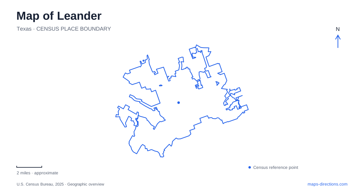
Street tiles load from OpenStreetMap when opened. The blue line shows the 2025 Census boundary.
- State
- Texas
- Population · July 2025
- 91,132
- Land area
- 38.8 sq mi
- Water area
- 0.2 sq mi
Leander has a useful historical axis that is easy to miss on a regional highway map. The railroad passed east of the earlier settlement of Bagdad, creating a new commercial center in 1882. The old community and the railway town therefore occupy different places. Modern highways, a commuter rail terminus, a college campus, and large residential districts have added further layers around that original shift in settlement.
Following the move from Bagdad to the railway
Bagdad stood about a mile west of the new railroad settlement. Its surviving landmarks make that distance tangible. The cemetery occupies the southeast corner of Bagdad Road and FM 2243. It opened in 1857, following the burial of three-year-old John Babcock on land his father provided for community use. Farther south along Bagdad Road, the Heinatz Homestead preserves another piece of the earlier settlement: a native-stone house associated with a store and post office.
These sites belong to a different historical grouping from Old Town. A marker on the west side of US 183, south of Atkin Street, describes the relocation of homes, businesses, and the post office toward the railway. The Presbyterian congregation also moved from Bagdad in 1882; its later church stands at 101 North West Street. Together, cemetery, homestead, marker, and church show how a transportation decision reorganized community life. Reading them in that sequence gives a small area more meaning than treating each as an isolated heritage stop.
Old Town and the northern rail terminus
Leander Station sits at US 183 and Metro Drive, just north of Old Town. Capital Metro identifies it as the northwestern terminus of the Red Line, with service extending toward downtown Austin. Its published address is 800 US 183 North. This places regional passenger transportation close to the historic railroad corridor, although the modern park-and-ride serves a much larger surrounding area.
On a map, separate the original US 183 corridor from the 183A toll road. They provide different reference lines through the growing city. Old Town and the station belong to the former; newer destinations farther east may be described in relation to the toll road. That distinction is especially useful when a destination description mentions only “183” without identifying which road it means. The station also makes a clear northern reference for comparing an Old Town visit with a trip onward into the Austin region.
A college destination on San Gabriel Campus Drive
Austin Community College's San Gabriel Campus is another substantial Leander destination, at 449 San Gabriel Campus Drive. Its setting includes a greenbelt and river views, giving it a different physical character from a storefront learning center. The college highlights a rooftop terrace of approximately 3,900 square feet as part of the campus.
The main academic destination is Building 1000. Campus guidance places the ACCelerator, advising, financial aid, and student-life services on the first floor, with the library and testing functions above. For a visitor, the address establishes the campus location while the building and floor identify the actual appointment. This is a useful example of how a city-scale map and an institutional floor plan answer different parts of the same journey.
Two lakes with different surrounding neighborhoods
Devine Lake Park anchors an outdoor destination in the North Creek subdivision. The 45.5-acre park's address is 1807 Waterfall Avenue. Fishing, trails, wildlife observation, picnic facilities, and a playscape share the site with nonmotorized boating. The city's rules specifically exclude trolling motors, so the lake should not be interpreted as a small motorboat launch simply because a boating symbol appears on a map.
Lakewood Park occupies a different part of Leander: east of the 183A toll road and south of Crystal Falls Parkway. Its address is 2040 Artesian Springs Crossing. The city acquired the 125-acre property in 2015, and nearby subdivisions include Crystal Springs, Cold Springs, and Hazlewood. These names help locate the park within residential development rather than along the older railroad center.
The larger park combines a fishing pier and lakeside pavilions with trails, a dog park, a splash area, basketball and volleyball facilities, and a skate park. Devine offers a neighborhood lake setting; Lakewood brings a wider collection of recreation facilities into one property. A map of Leander becomes more informative when these two parks, the college, the station, and the Bagdad landmarks remain distinct destinations, each explaining a different stage of the community's growth.
Map and statistics: U.S. Census Bureau, 2025 Gazetteer, January 2025 generalized place boundaries and Vintage 2025 population estimates. Local references: City of Leander; Capital Metro; Austin Community College. Article prepared by Maps & Directions.