Map of Layton
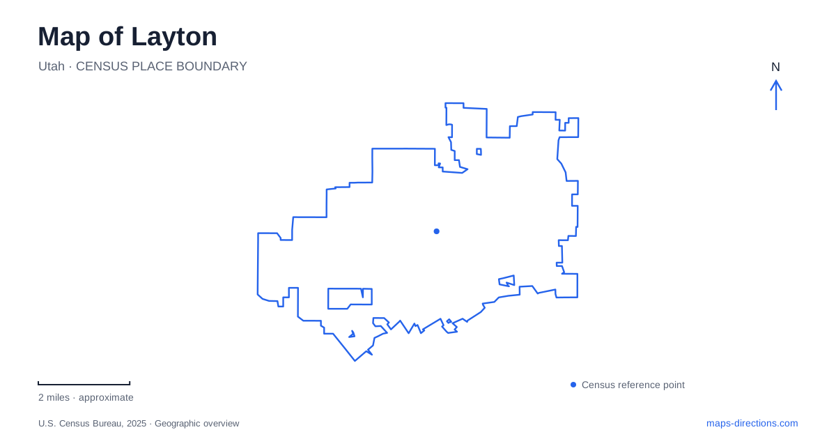
Street tiles load from OpenStreetMap when opened. The blue line shows the 2025 Census boundary.
- State
- Utah
- Population · July 2025
- 85,308
- Land area
- 22.6 sq mi
- Water area
- 0.2 sq mi
Layton lies between the Wasatch mountain front and the Great Salt Lake, a setting that gives the city a strong contrast between its developed streets and eastern outdoor destinations. Main Street and Gentile Street anchor an older commercial area, the rail station connects with the regional corridor, and Wasatch Drive gathers civic and cultural facilities. Farther west, large sports grounds serve a different purpose from the canyon and reservoir trails. These contrasts provide a useful structure for reading the local map.
Main and Gentile retain a historic center
The city’s downtown planning map identifies Main Street, Gentile Street, Fort Lane, Interstate 15 and the FrontRunner station within its central study area. The same drawing includes proposed improvements, so its historical-district outline is useful context without implying that every illustrated connection has been built. Main and Gentile remain concrete names with which to orient the older center.
The municipal heritage account explains Gentile Street's name through early residents who were not members of the Latter-day Saint church. That small piece of history helps distinguish the street from the city's many numbered addresses. It is a local name with a specific origin, not simply a decorative alternative for a road number. Retain it when reading historic descriptions of the downtown area.
FrontRunner belongs to the Main Street corridor
UTA lists Layton Station at 150 South Main Street. Its regional station directory places Clearfield and Farmington as separate Davis County stops. The station address therefore provides a practical connection between the regional rail map and the local downtown map, while also distinguishing the intended stop from nearby stations serving other parts of the corridor.
The rail diagram explains the sequence of places along the line; the street map explains where to go after leaving the platform. A trip to the Wasatch Drive civic facilities is a separate local leg, even though both destinations belong to the same city. Keeping the destination beyond the station visible makes it easier to compare walking, connecting transit or a pickup without treating rail arrival as the end of the journey.
Wasatch Drive brings culture and civic activity together
The Kenley Amphitheater is listed at 403 North Wasatch Drive, beside the Heritage Museum in the Commons Park setting. The open-air venue was developed through a partnership involving the city and Davis Arts Council in 1995. Nearby municipal references use 437 North Wasatch Drive for the city center and 465 North Wasatch Drive for parks and recreation offices.
This cluster gives Layton a recognizable civic landscape, but the different street numbers remain useful. A council meeting, a performance and a museum visit concern separate facilities within the same general area. The museum's subject is the social, economic and cultural development of northern Davis County, adding regional historical context to a place that otherwise might appear on the map simply as a park and group of public buildings.
Western sports grounds use the numbered grid
Ellison Park sits at 700 North 2200 West. The city identifies a large collection of baseball, softball, soccer and other recreation facilities, along with a walking trail, playgrounds and a splash pad. Its address demonstrates the value of preserving both the north–south and east–west parts of the local numbered grid. Omitting one direction loses information about the park's position.
For a Layton sports event, the field assignment adds the next level of detail after the street address. The city publishes field-layout maps because the grounds contain several playing areas. A family attending a game needs the relevant field, while someone using the walking trail has a different starting task. The size and variety of the recreation site explain why a citywide park symbol alone is only an initial reference.
Canyon and reservoir paths offer different outings
The municipal trail directory places the Adams Canyon and Bonneville Shoreline trailhead at 600 South Eastside Drive and describes an unpaved route toward a waterfall. Kays Creek Parkway, by contrast, has several named access points, including the Adam J. Welker trailhead at 2700 North 2125 East, and includes paved trail plus a softer-surface route around Hobbs Reservoir. These are distinct outdoor settings rather than variants of one path.
A Layton map is most informative when those recreation types remain separate: the canyon approach, the reservoir circuit, the western sports grounds and the central civic cluster. Main Street connects the city to regional rail, while named local roads and numbered addresses locate the individual activities. Choose the particular setting first, then use the appropriate street, campus or trail detail to complete the plan.
Map and statistics: U.S. Census Bureau, 2025 Gazetteer, January 2025 generalized place boundaries and Vintage 2025 population estimates. Local references: Layton City Economic Development; Layton City; Utah Transit Authority. Article prepared by Maps & Directions.