Map of Lawton
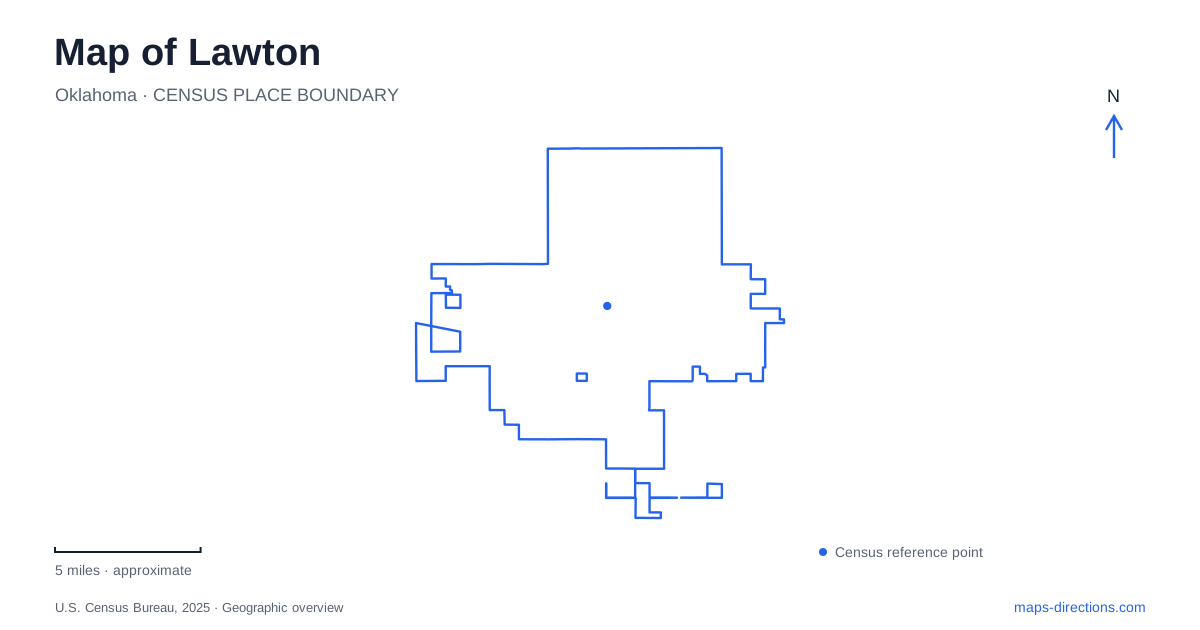
Street tiles load from OpenStreetMap when opened. The blue line shows the 2025 Census boundary.
- State
- Oklahoma
- Population · July 2025
- 90,503
- Land area
- 81.7 sq mi
- Water area
- 0.0 sq mi
Lawton's history is visible in several distinct settings: the museum area along Northwest Ferris Avenue, the Mattie Beal house to the south and Fort Sill beyond the city's ordinary street network. A map can connect these places, but their stories and visiting arrangements differ. Tribal cultural preservation, the 1901 land opening and military history should not be compressed into one uncomplicated frontier narrative. Each destination offers a different perspective on how the region developed.
Two museums along Ferris Avenue
The Museum of the Great Plains is located at 601 Northwest Ferris Avenue in Elmer Thomas Park. Its address places it within the park rather than at a freestanding commercial destination. The museum recommends approaches from Ferris at Sixth or Seventh Street. Cache Road, Second Street, Ferris Avenue and Fort Sill Boulevard frame the larger park area, providing useful orientation before choosing the museum entrance.
For a Lawton visit, distinguish the museum's outdoor grounds from its indoor interactive exhibits. They occupy the same destination but can have different admission and access arrangements, particularly during building repairs. Check the museum's visitor information for the part of the site you want to explore. A permanent map pin locates the property; it does not establish that every gallery, entrance and outdoor area can be visited under one schedule.
Nearby, the Comanche National Museum and Cultural Center has its own address at 701 Northwest Ferris Avenue. It is a separate institution, not an additional gallery within the regional museum. Recognizing the distinction ensures that the Comanche Nation's interpretation is understood on its own terms rather than treated as an anonymous part of a general collection.
Cultural preservation as continuing work
The Comanche museum's work extends beyond displaying old objects. The Nation describes a National Treasure Room and Library recognizing people who have contributed to its history, culture and traditions. Its collections include fine art, textiles, photographs and other materials, with selected objects rotated into exhibitions. A collection's full scope is therefore much larger than what a visitor sees in one room.
This gives Lawton a cultural destination concerned with living knowledge as well as the past. Acquisitions, changing exhibitions and the recovery of culturally significant material are parts of the museum's work alongside caring for its established collection. Those activities make preservation an active responsibility. For a map-based itinerary, the museum deserves a deliberate stop, with time to understand the perspective of the community maintaining the collection.
A land claim behind a prominent house
Mattie Beal's story connects a surviving residence with the town's early platting. Her name was drawn second in the local land district's 1901 lottery, giving her a claim to 160 acres. The Oklahoma Historical Society explains how the shape and placement of the first two claims influenced land next to the original townsite. Those claims were subsequently divided into town lots.
The Mattie Beal house gives Lawton a visible reminder of that episode. Beal and her husband, Charles Payne, began their substantial home in 1907, completing it around 1909. Its scale reflected the family's changed circumstances after the land opening. The property later experienced subdivision into apartments, neglect and a demolition threat before local preservation efforts intervened.
The house is consequently more than an architectural curiosity. It links the drawing of land boundaries, the conversion of acreage into streets and lots, and the fortunes of one household. A residential landmark can reveal how a city map was made, particularly when its history is read alongside the earlier Indigenous ownership and federal policies that made the land opening possible.
Fort Sill requires a different arrival plan
North of Lawton, the Fort Sill National Historic Landmark and Museum interprets the post and its vicinity. Its scope includes military, social, political and cultural history, with Native nations integral to that account. The museum's Quanah Road location sits within an active Army installation, making it a different kind of destination from the Ferris Avenue institutions.
Public museum admission does not remove installation-entry requirements. Visitors without appropriate Department of Defense credentials generally need a visitor pass and must follow the current identification and screening process. The Visitor Welcome Center is associated with the Bentley Gate approach on Sheridan Road. An ordinary route to the museum building is therefore only part of the arrival plan; the access process comes first.
Keeping these locations distinct produces a more useful city itinerary. Ferris Avenue brings together public park space and two different museums; the Beal residence explains a particular land-development story; the military post requires its own entry arrangements. Their combination provides several perspectives on the region without pretending that one institution or one map label can represent them all.
Map and statistics: U.S. Census Bureau, 2025 Gazetteer, January 2025 generalized place boundaries and Vintage 2025 population estimates. Local references: Museum of the Great Plains; City of Lawton; Comanche Nation; Oklahoma Historical Society; US Army Center of Military History; US Army Fort Sill. Article prepared by Maps & Directions.