Map of Lawrence
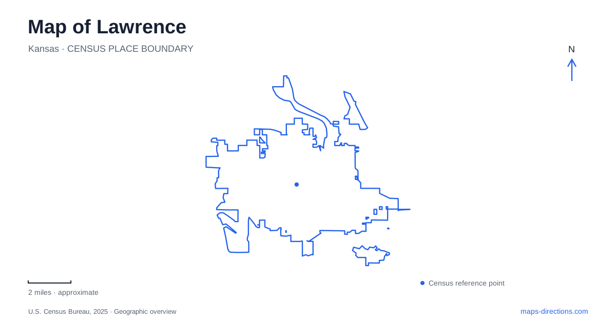
Street tiles load from OpenStreetMap when opened. The blue line shows the 2025 Census boundary.
- State
- Kansas
- Population · July 2025
- 96,367
- Land area
- 34.6 sq mi
- Water area
- 0.8 sq mi
Lawrence sits between the Kansas and Wakarusa rivers, with downtown streets and the university hill giving its central area two markedly different shapes. Massachusetts Street runs through the commercial district, while Mount Oread carries the University of Kansas campus above it. A useful map distinguishes these settings before adding the riverfront and the separate Haskell campus. Together they explain why a short list of local destinations can involve a main street, a hillside museum, a wooded riverbank, and an institution with its own important history.
Massachusetts Street and the historic blocks
The downtown historic district extends along the 600 through 1200 blocks of Massachusetts Street. Its contributing buildings span roughly a century, from 1856 to 1953. That range matters more than imagining the street as a single preserved period: successive storefronts reflect a town that continued changing after its nineteenth-century beginnings. The familiar name “Mass Street” refers to the same corridor, rather than another avenue elsewhere in town.
The street name recalls the home state of the New England founders who established Lawrence in 1854 through the Emigrant Aid Company. Their antislavery purpose gives the downtown more context than a collection of old facades alone. Reading the blocks in order offers a straightforward way to relate that history to the present street plan. The numbered blocks provide an organizing line through the district, while the university and river give it a broader geographic setting.
A natural-history building on the university hill
Dyche Hall stands at 1345 Jayhawk Boulevard. Built in 1901–1902, its Venetian Romanesque design uses local Oread limestone, with a tower, arches, and carved plants and animals. The exterior therefore introduces the building’s subject before a visitor reaches its collections. Its architectural details also make it a particularly recognizable landmark on the campus map.
The hall was constructed to house the Panorama of North American Mammals, originally displayed at the 1893 World’s Columbian Exposition in Chicago. Today the Natural History Museum occupies four floors of exhibits, including fossils and material about Kansas wildlife. The Kansas Memorial Union is next door. These neighboring buildings form a practical pair of campus reference points, distinct from the commercial blocks below the hill.
The original sculpted grotesques were brought indoors in 2017–2018, and replicas now occupy the exterior. That detail rewards a closer look at both the building and the museum: the decoration is part of the collection’s story, not simply an architectural frame around it.
Two museums with different campus addresses
For an art-focused visit to Lawrence, the Spencer Museum of Art adds another university destination at 1301 Mississippi Street. Its address belongs to a different street from Dyche Hall’s Jayhawk Boulevard frontage. The museum identifies the Mississippi Street parking garage across the street and offers parking validation, giving the garage a clear relationship to the art museum rather than to the whole campus indiscriminately.
The pairing of art and natural history shows how much of the university can be understood through individual buildings. One museum’s location follows Mississippi Street; the other is associated with the hill’s boulevard and the adjacent union. Mapping those addresses produces a more legible campus visit than treating the university as one undifferentiated destination. Their collections also offer different perspectives on place: regional natural history in one building, and art examined through a university collection in the other.
Haskell and the history carried by its campus
The Haskell Cultural Center and Museum stands at 2411 Barker Avenue. This is a separate institutional landscape from the university on Mount Oread. Haskell’s history begins with the federal boarding school opened in 1884, whose assimilation policies harmed Native children and communities. The museum’s account centers those experiences and the people affected by them.
Later changes are equally important. Henry Roe Cloud became the first Native superintendent in 1933, bringing Native culture into the curriculum. The institution developed into a junior college during the 1960s and a university in 1993. A map of Lawrence that includes Haskell therefore encompasses both the boarding-school past and the continuing educational institution, rather than reducing the campus to a historic monument.
Cottonwoods beside the Kansas River
Burcham Park reaches the river at 200 Indiana Street, with access at Second and Indiana. Open views of the water alternate with cottonwood woodland, and a trail connects toward Constant Park. This river landscape provides a different sense of distance and enclosure from the downtown storefronts.
The park also contains Elden Tefft’s limestone sculpture, Keepers of the Universe, installed in 1988. Its presence connects the outdoor setting with the local artistic landscape. Ending a Lawrence outing beside that sculpture brings together river, stone, and public space without leaving the established city: the riverfront is part of its central geography, as consequential to the map as the university hill and Massachusetts Street.
Map and statistics: U.S. Census Bureau, 2025 Gazetteer, January 2025 generalized place boundaries and Vintage 2025 population estimates. Local references: Explore Lawrence; University of Kansas; University of Kansas Biodiversity Institute; Spencer Museum of Art; Haskell Indian Nations University; Haskell Cultural Center and Museum; City of Lawrence. Article prepared by Maps & Directions.