Map of Laredo
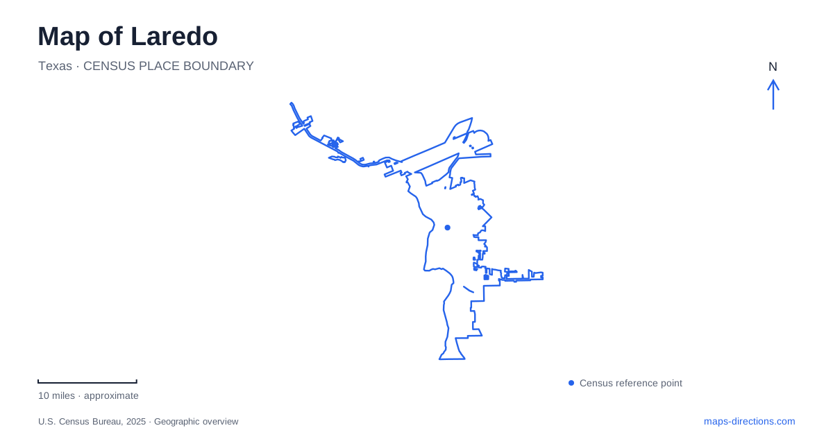
Street tiles load from OpenStreetMap when opened. The blue line shows the 2025 Census boundary.
- State
- Texas
- Population · July 2025
- 269,515
- Land area
- 109.1 sq mi
- Water area
- 1.5 sq mi
Laredo's oldest urban landscape faces the Rio Grande, where a plaza, cathedral and nearby crossings reflect the importance of the river to settlement. The city also has another water-centered setting at Lake Casa Blanca, a reservoir on Chacon Creek rather than on the international boundary. Between those two environments are streets and institutions shaped by trade, military history and education. A useful map keeps these different relationships with water visible instead of treating every waterfront destination as part of the same corridor.
San Agustin Plaza organizes the historic center
The settlement founded by Tomas Sanchez in 1755 developed around a central plaza. San Agustin Cathedral remains a prominent landmark overlooking that space, with the present church structure dating to 1872. National historic-district recognition followed in 1973, acknowledging the importance of the old urban core.
The plaza is an effective place to begin reading Laredo because civic, religious and domestic history are concentrated nearby. It reflects a town-planning tradition in which a shared square organized surrounding activity. The cathedral's vertical form gives the district a visible focus, but the smaller buildings and street relationships are also important. They communicate the scale of the earlier settlement and its proximity to the river. This is a historic urban setting whose significance comes from the arrangement of places as much as from any individual landmark.
Domestic life beside the political story
The Republic of the Rio Grande Museum occupies 1005 Zaragoza Street on the grounds of La Posada Hotel. Its interpretation includes the political history of the short-lived republic and the everyday environment of a nineteenth-century home. A kitchen, bedroom and ranching office are furnished with period objects, while a bilingual gallery introduces the republic's history.
The combination is useful because political events can otherwise seem detached from the lives of the people who experienced them. Household utensils, linens and office artifacts provide a different scale of evidence from flags or official documents. The museum's location close to the plaza also places that domestic interpretation within the older street pattern. It adds depth to a walk through central Laredo by connecting the visible architecture with the activities once carried out inside such buildings.
River crossings have different roles
The municipal bridge system identifies Gateway to the Americas as Bridge I, at Water Street and Convent Avenue, and Juarez-Lincoln International as Bridge II, at Santa Ursula Avenue. They are separate approaches within the downtown border landscape. Farther along the system, Colombia Solidarity and World Trade serve different traffic functions; the city lists World Trade as a commercial-only crossing.
These distinctions matter even when a map shows the bridges as similar lines over the river. A crossing's name and permitted use are as important as its location. The riverfront is both a historic setting and an active international transport environment, so an ordinary local outing should not drift into a bridge approach by relying only on the apparent shortest route. The numbered bridge system gives a clearer vocabulary for understanding this part of the city's roads.
Fort McIntosh becomes a place of learning
At the western end of Washington Street, the Fort McIntosh campus occupies a former military site along the Rio Grande. Established as Camp Crawford in 1849, it received the McIntosh name by 1850. The college began using the property in 1947, creating an educational campus within the earlier military landscape.
Several buildings retain connections with that previous use, and campus street names commemorate figures associated with the fort and wider history. This setting gives Laredo a substantial example of institutional reuse. The same grounds that once housed troops now support classrooms and offices. It is also geographically distinct from the college's South Campus on South Zapata Highway, so the campus name is an essential part of an address or appointment location.
Lake Casa Blanca and the brush-country edge
Lake Casa Blanca is a 1,680-acre impoundment of Chacon Creek, a tributary of the Rio Grande. The state park opened in 1991 after earlier local operation. Its entrance address is 5102 Bob Bullock Loop, and its facilities support activities such as fishing, boating, camping and trail use.
The surrounding vegetation belongs primarily to the South Texas Brush Country, with plants including honey mesquite, guajillo, huisache and prickly pear. Sandstone and mudstone outcrops also preserve evidence of a much older environment, including fossil oyster shells from a former estuarine setting. This geological and ecological landscape gives a different perspective on Laredo from the plaza and border crossings. The reservoir, historic square and reused fort each reveal a separate relationship among water, movement and settlement, making them useful anchors for understanding the city's map.
Map and statistics: U.S. Census Bureau, 2025 Gazetteer, January 2025 generalized place boundaries and Vintage 2025 population estimates. Local references: Visit Laredo; Webb County Heritage Foundation; City of Laredo; Laredo College; Texas Parks and Wildlife Department. Article prepared by Maps & Directions.