Map of Lansing
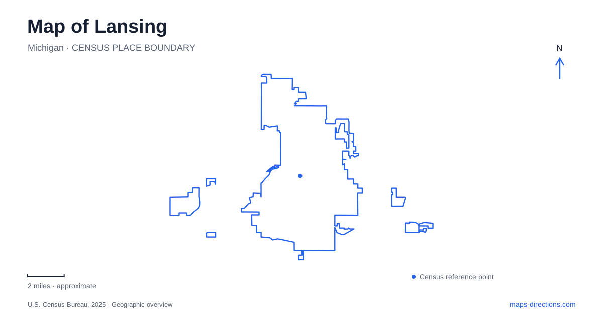
Street tiles load from OpenStreetMap when opened. The blue line shows the 2025 Census boundary.
- State
- Michigan
- Population · July 2025
- 113,884
- Land area
- 39.4 sq mi
- Water area
- 0.6 sq mi
A map of Lansing shows a state capital organized around more than government buildings. The Grand River and Red Cedar River provide a second framework, connecting recreation areas and older commercial districts through the river trail. The Capitol remains a useful starting point, but Old Town, the historical center, the zoo, and the nature center reveal different parts of the city. Reading those places together gives the street map a historical and geographical structure beyond the downtown office blocks.
The Capitol and the state's historical collections
The Michigan State Capitol stands at 100 North Capitol Avenue. Its role as a working legislative building and a National Historic Landmark makes it both a civic destination and an architectural one. On a downtown map, identify the Capitol first, then locate the Michigan Library and Historical Center two blocks southwest. These institutions form a compact state history area, although they occupy separate properties and serve different purposes.
The historical center's address is 702 West Kalamazoo Street. Inside are the Michigan History Museum, Archives of Michigan, and Library of Michigan. The museum follows the state's story from the Anishinaabe through the middle of the twentieth century, while the archives hold the records behind many individual and community histories. A visit focused on exhibitions and one focused on document research therefore share a building without following the same internal itinerary.
The building itself rewards attention. Architect William Kessler designed it around a white pine, and Michigan limestone, oak, copper, and granite tie its construction to the state's natural resources. The Polaris Ring sculpture marks the south side. This is also the practical arrival side: public access through the Allegan Street entrance ended in September 2025, and visitors are directed to Kalamazoo Street. The south entrance is barrier-free, with visitor parking reached from its circle drive. That specific approach matters when using a map showing streets along both sides of the complex.
Old Town's Victorian blocks and arts spaces
Old Town represents an earlier commercial center of Lansing. Its waterfront setting and Victorian buildings give it a different visual scale from the state government district. Turner Street is a useful street to examine closely when locating shops, galleries, and arts organizations. The district's identity comes partly from the reuse of older buildings, so contemporary business names sit within a much older physical streetscape.
MICA's restoration of properties at 1208, 1210, and 1212 Turner Street in 1995 provides a concrete example of that process. An arts visit here can be organized around a short run of addresses, rather than a scattered collection of destinations across the metropolitan area. The Turner-Dodge House, dating to 1858, adds a residential landmark to the district's commercial history. Together, the house and the restored storefronts help explain why Old Town appears as a distinct destination on cultural maps.
Following the rivers between districts
The Lansing River Trail extends more than twenty miles along the Grand and Red Cedar rivers, linking parks, historic places, and activity areas. It offers a way to understand the city's districts from the water rather than from the street grid. Old Town and REO Town both have trail access, allowing the riverside network to connect places with different development histories.
Moores Park occupies the south bank of the Grand River in REO Town. Its location gives a park stop a clear relationship to both the river and the neighborhood. When considering a riverside outing, tracing the actual trail is more informative than measuring the straight distance between two neighborhood labels: the watercourse determines the shape of the journey. The trail also extends beyond Lansing into neighboring communities, so a complete regional outing can be much larger than a downtown walk.
Zoo grounds and a separate nature preserve
Potter Park Zoo is at 1301 South Pennsylvania Avenue. Its arrival instructions direct vehicles through the parking entrance, with passenger drop-off near the admissions walkway. Plotting that street address places an animal-focused visit within the broader city route without confusing the zoo grounds with other green areas along the rivers.
Fenner Nature Center, at 2020 East Mount Hope Avenue, offers a different outdoor setting. Its visitor center, trails, and Davis Nature Pavilion support nature observation and walking. Bicycles, rollerblades, and skateboards are prohibited on its trails, an important distinction from planning a bicycle outing on the river trail. For a first exploration of Lansing, the Capitol district, Turner Street, the river corridor, and these two outdoor destinations provide four useful chapters: state history, neighborhood reuse, connected waterfronts, and dedicated nature spaces.
Map and statistics: U.S. Census Bureau, 2025 Gazetteer, January 2025 generalized place boundaries and Vintage 2025 population estimates. Local references: Michigan State Capitol; Michigan History Center; Library of Michigan; Choose Lansing; Michigan Institute for Contemporary Art; Friends of the Lansing River Trail; Potter Park Zoo; Fenner Nature Center. Article prepared by Maps & Directions.