Map of Lakewood
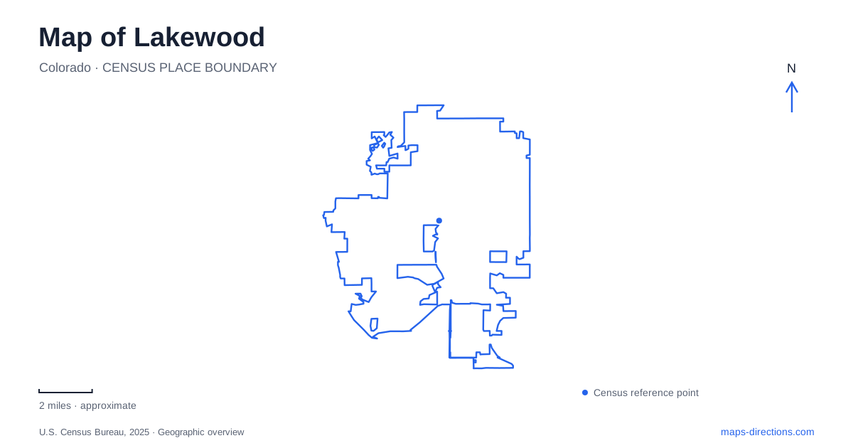
Street tiles load from OpenStreetMap when opened. The blue line shows the 2025 Census boundary.
- State
- Colorado
- Population · July 2025
- 156,927
- Land area
- 43.5 sq mi
- Water area
- 1.2 sq mi
Lakewood, Colorado sits across a transition from developed plains to the Front Range foothills. That change is visible in the difference between the civic and cultural landscape around Belmar, the rising trails of Green Mountain, and the creek-and-reservoir country farther south. Rail stations add another organizing line across the city, connecting neighborhoods with Denver and Golden. A useful map separates these settings rather than assuming every park, lake, and cultural facility belongs to one central district.
Belmar’s park preserves more than a name
Belmar Park occupies land associated with May Bonfils Stanton's former estate near South Wadsworth Boulevard and West Alameda Avenue. She began acquiring property around Kountze Lake in 1936, and her mansion was completed the following year. The mansion is gone, but several estate outbuildings remain, including the caretaker's cottage, calving barn, machinery sheds, granary, and auction house.
Those structures reveal the estate's agricultural side. Prize-winning Suffolk sheep and Black Angus cattle were raised here, and the auction building supported livestock sales. A map label for a heritage center can obscure that these buildings were once parts of a working arrangement around an affluent private property.
The museum landscape also includes structures moved from elsewhere. The country school began as a church near Ralston Crossing and was eventually relocated to the heritage site. Lakewood’s collection therefore combines buildings connected directly to the ground beneath them with buildings preserved through relocation. Both contribute to local history, but they tell different stories about place.
Kountze Lake and the public park
Municipal acquisition of the estate land in the 1970s helped establish the present park. Later park construction included rebuilding Kountze Lake after it had been drained during intervening development activity. The reconstructed lake was designed with wildlife habitat and plant life in mind rather than as a simple reproduction of its former dimensions.
This history is useful when reading the open space beside the civic area. Belmar is not only a preserved remnant of an estate; it is also a deliberately developed public nature park. The lake, paths, heritage buildings, and surrounding neighborhoods represent several phases of use. The civic center and library near its northeastern corner add everyday municipal destinations to that setting.
Green Mountain changes the scale of a route
William Frederick Hayden Park on Green Mountain contains more than 2,400 acres of open space. Its trails climb through a much larger terrain-based landscape than the paths around Belmar. The Green Mountain Trail includes both a demanding ascent and gentler stretches near the mountain's base, while the Hayden Trail approaches from the Utah Trailhead and climbs the southern side through switchbacks.
The Summit Loop, North Access, and Rooney Valley routes give the park several different approaches and combinations. These names describe meaningful geographical differences. A route reaching the summit is not comparable to one remaining near the base even when the line on a small map appears similarly short.
For Lakewood visitors, the park demonstrates the city's foothill position directly. It offers a network shaped by slopes, ridges, and connecting trails rather than by a street grid. The municipal trail guidance also asks users to avoid wet or muddy paths, an important limitation in an open-space area where a damaged trail surface does not recover as quickly as paved urban infrastructure.
Bear Creek and Big Soda Lake have different roles
Bear Creek Lake Park includes several water bodies, and their names should remain distinct when planning an activity. Big Soda Lake is the location associated with the designated swim beach and nonmotorized paddle sports. Bear Creek Reservoir is separately identified for fishing and boating access. The park also includes Little Soda Lake, which appears as its own area on municipal planning maps.
Water levels can change how these facilities operate. Big Soda Lake, the reservoir boat ramp and places used for hand launching have different requirements, so drought or low water can affect them differently. These details are not permanent promises of access. They show why an activity requires checking the particular lake and current operating notice, not just the broad park name.
Lakewood’s water landscape also belongs to a larger drainage system. Bear Creek and Turkey Creek are among the local tributaries within the South Platte watershed. The reservoirs and recreation areas consequently sit within functioning water infrastructure and a semi-arid environment, rather than being independent ornamental lakes.
The W Line provides a separate corridor
RTD's W Line links Denver Union Station with the Jefferson County Government Center–Golden station. Along the way, stops include Lamar, Garrison, Oak, Federal Center, and Red Rocks College. Federal Center station is listed at 11601 West Second Place.
That rail corridor supplies a different set of reference points from the southern lake parks and western hiking routes. Reading station locations together with the destination streets helps distinguish a regional transit journey from the final local connection. Across Lakewood, the result is a map with several complementary structures: historic estate land around Belmar, foothill trails on Green Mountain, creek-based recreation to the south, and rail access across the urban landscape.
Map and statistics: U.S. Census Bureau, 2025 Gazetteer, January 2025 generalized place boundaries and Vintage 2025 population estimates. Local references: City of Lakewood; RTD. Article prepared by Maps & Directions.