Map of Lakeville
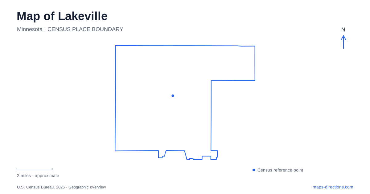
Street tiles load from OpenStreetMap when opened. The blue line shows the 2025 Census boundary.
- State
- Minnesota
- Population · July 2025
- 79,270
- Land area
- 36.9 sq mi
- Water area
- 1.8 sq mi
Lakeville's map combines a historic center on Holyoke Avenue with several distinct lake and park landscapes. Downtown lies toward the southern part of the city, east of Interstate 35, while Lake Marion provides a major outdoor focus. The roads and trails around that lake lead to places with quite different histories: an early amusement park, a former farm, and a community recreation ground. Looking at these sites together explains more about the city than treating every lakeside green area as interchangeable.
Holyoke Avenue's civic and cultural center
Holyoke Avenue is the principal reference for the historic downtown. The city's development guide identifies surviving buildings from around the turn of the twentieth century, including a bank, fire station, and former church. This older street frontage contrasts with commercial districts that developed farther north along the interstate and Cedar Avenue.
The Lakeville Area Arts Center occupies 20965 Holyoke Avenue at 210th Street. Established in 2001 through the conversion of the former All Saints church, it brought a new public use to a prominent historic building. The Performing Arts Building contains the theater and galleries, while the addition of a Fine Arts Building in 2023 expanded space for visual-arts education.
The surrounding sculpture walk extends the arts activity outdoors. This makes the campus an identifiable part of downtown's public landscape rather than simply an auditorium entered for a scheduled show. Nearby City Hall, at 21095 Holyoke Avenue, adds another civic destination along the same road. Together, the older buildings and these continuing public uses give the downtown a scale and purpose distinct from the larger commercial corridors.
Antlers Park and the amusement-park era
Antlers Park occupies the eastern side of Lake Marion, with its address at 20141 Ipava Avenue. The modern grounds include a swimming beach, volleyball courts, picnic shelters, and a pavilion. The lakeside setting has attracted recreation for far longer than the present facilities suggest.
The city's history connects the park to Colonel Marion Savage and his Dan Patch electric railway enterprise. Savage purchased land beside what was then Prairie Lake, renamed the waterbody after himself, and helped develop an amusement destination reached by rail. Antlers Park opened on July 4, 1910, with attractions that included a dance pavilion, swimming facilities, boating, and a miniature train.
That history gives this part of Lakeville an unusual relationship between recreation and transportation. The lake was not merely open space left among later neighborhoods; it was a destination that helped draw visitors through a purpose-built railway connection. The present beach and gathering spaces continue the recreational role, even though the elaborate early amusement facilities belong to a different era.
Ritter Farm and Casperson offer contrasting settings
Ritter Farm Park, at 19300 Ritter Trail, preserves approximately 340 acres of former agricultural land. The property operated as Oak Hills Farm before the Ritter family acquired it in 1950. City purchases began in 1972, eventually protecting farmland, historic structures, and more than a mile of lake shoreline.
Its extensive trail network supports walking, skiing, and horseback riding. The official map marks named routes such as the Mader Loop and Matterhorn Trail, as well as the silo, learning center, shelters, and archery area. These features give the grounds a layered character: remnants of farming remain within a landscape now used for conservation and outdoor recreation.
Casperson Park approaches the lake from 19720 Juno Trail. Its fishing pier, public water access, performance stage, and sports fields create a more concentrated community setting. It also connects with Juno Trail and the Lake Marion Greenway. The arts center's outdoor performance program uses the stage here, linking downtown's cultural activity with the lakeshore. This relationship is a useful example of Lakeville's public facilities working across different parts of the map.
Smaller lakes with their own histories
Orchard Lake Park is at 11875 175th Street West. Its comparatively small grounds include a boat and canoe launch, picnic shelter, playground, and fishing access. Land for the park was deeded to the city in 1961, providing a public foothold on another lake beyond the larger Marion recreation landscape.
Valley Lake Park, at 16050 Garrett Path, developed around a man-made lake. Trails, conservation areas, community art, and pollinator gardens now shape its public use. The former beach was replaced by a pollinator garden in 2021, so older descriptions of swimming facilities do not reflect the park's present layout.
These separate waterbodies explain why a map of Lakeville benefits from attention to park names as well as lake names. Orchard's launch area, Valley's restored shoreline, Antlers' recreation history, and Ritter's farm landscape represent different local stories. Holyoke Avenue provides the historic urban center, while the lakes preserve a wider record of how the community has used and protected its land.
Map and statistics: U.S. Census Bureau, 2025 Gazetteer, January 2025 generalized place boundaries and Vintage 2025 population estimates. Local references: City of Lakeville. Article prepared by Maps & Directions.