Map of Lake Stevens
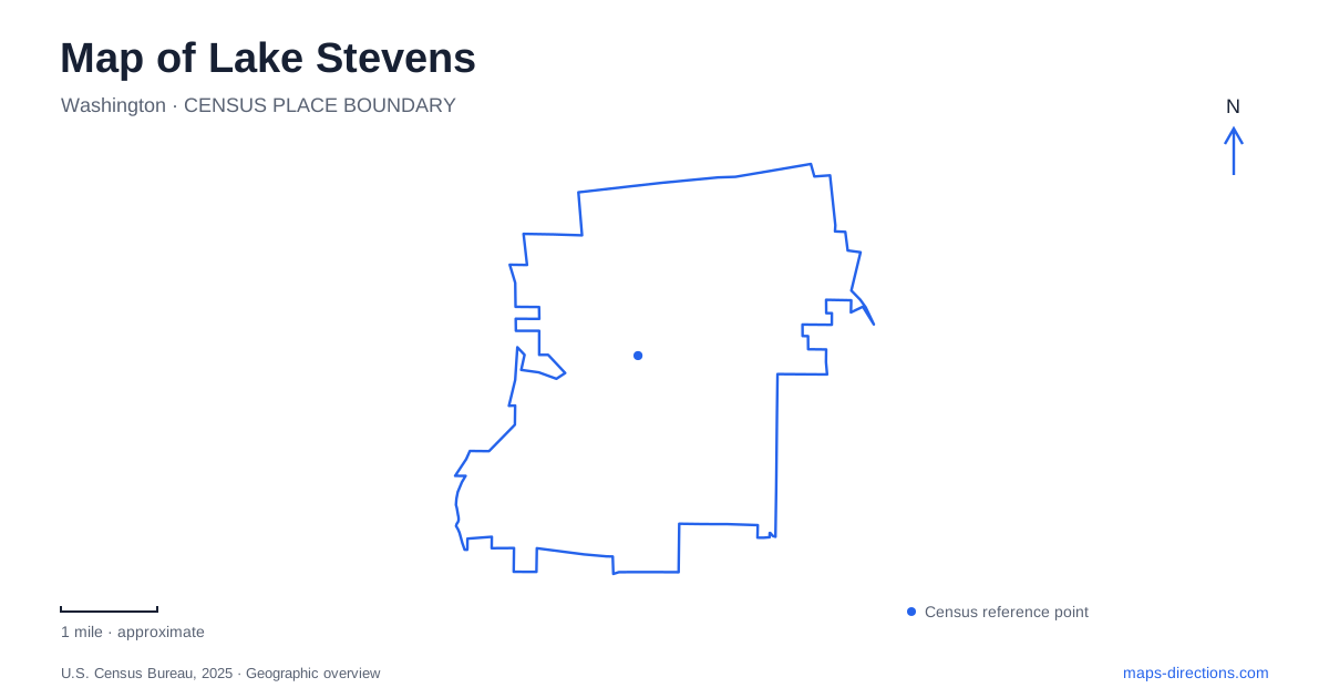
Street tiles load from OpenStreetMap when opened. The blue line shows the 2025 Census boundary.
- State
- Washington
- Population · July 2025
- 42,091
- Land area
- 10.2 sq mi
- Water area
- 1.6 sq mi
Lake Stevens takes its identity from a substantial natural lake, but its geography includes more than a ring of waterfront homes. The former mill district occupies North Cove, public beaches provide different kinds of shore access, and a regional rail trail follows a separate corridor near the eastern city limits. Downtown, the lake and the trail each organize movement in a different way. Their relationship explains why a short distance across the water can correspond to a much longer journey on surrounding streets.
The mill district at North Cove
The early industrial geography connected two places: Hartford and the lake's north cove. Hartford, first known as Ferry, served timber and mining traffic associated with Monte Cristo. In 1905, the Rucker Brothers Timber Company built a railroad spur linking Hartford to the lakeside. The sawmill opened two years later, placing major industrial activity at the water's edge.
Fires in 1919 and 1925 ended that era in stages. The mill was partially rebuilt after the first fire, then dismantled after the second. This explains why today's downtown waterfront is not dominated by an intact mill complex. Remaining pilings preserve physical evidence of the earlier use, while the surrounding open space and buildings represent a subsequent transformation.
Lake Stevens now recalls that industrial history through the names and design of its civic gathering spaces. The Mill is a modern community building at North Cove Park, rather than the original sawmill surviving under a new use. Its meeting rooms and event spaces bring public activity back to an area once shaped by timber production. Hartford Hall, one of the rooms, also preserves a name from the earlier transportation network.
Mill Spur joins the downtown waterfront
Mill Spur is a roughly 300-foot festival street connecting North Cove Park, The Mill and the North Cove boat launch. Its curbless layout and broad walking areas support markets and community gatherings. The arrangement creates a compact waterfront district in which the street itself has a public-space function, rather than serving only as a route between buildings.
North Cove Park occupies the northeastern end of the lake beside the civic complex. A boardwalk and pier, picnic areas, paths and a playground make the shoreline part of downtown life. The relationship is particularly clear on a close-scale map: the park supplies open space, the community building accommodates indoor activity, and Mill Spur joins them to other downtown destinations.
Lundeen Park and the creek landscape
Lundeen Park offers another perspective on Lake Stevens. Located at 10020 Lundeen Parkway, the nine-acre park combines a swim beach, a nonmotorized dock, walking paths, picnic shelters and a playground. Interpretive stations follow a salmon-spawning creek, giving the site a waterway story beyond the broad lake surface.
That creek matters when reading the park's landscape. The shoreline is an access point for recreation, while the smaller flowing-water corridor supports habitat and interpretation. A visit can therefore focus on paddling or swimming, on a picnic, or on the relationship between the tributary and the lake. These activities share a park but use different physical features within it.
Davies Beach across the water
Davies Beach lies on Davies Road across the lake from downtown. The city's comprehensive plan places it about four miles from the downtown district by the surrounding route. Its public boat launch, mooring facilities, fishing pier and swimming area make it a significant water-access site. A rowing facility adds another specialized use of the shore.
A map of Lake Stevens makes the separation between this access point and North Cove especially useful to recognize. Both face the same water, but their land approaches serve different sides of it. The lake creates shared views and recreation opportunities while also shaping the road journey between them. Choosing a launch, rowing destination or downtown gathering place starts with that shoreline geography.
The Centennial Trail follows a different line
The Centennial Trail skirts the eastern city limits rather than tracing the complete lakeshore. Built on the former Burlington Northern railroad corridor, it forms part of a 30-mile county trail. Local approaches include the Highway 92, 20th Street NE and Machias Road trailhead areas. Development began during Washington's centennial in 1989, giving the route its name.
This is a regional walking, cycling and equestrian corridor, so its linear alignment has a different purpose from a beach path. The distinction also connects back to the city's history: rail infrastructure once moved timber and supported industry, while a former railroad alignment now supports outdoor travel. Lake Stevens can be read through that combination of inherited routes and changed waterfront uses, with North Cove, the public beaches and the eastern trail each contributing a distinct part of the map.
Map and statistics: U.S. Census Bureau, 2025 Gazetteer, January 2025 generalized place boundaries and Vintage 2025 population estimates. Local references: City of Lake Stevens; Snohomish County. Article prepared by Maps & Directions.