Map of Lake Oswego
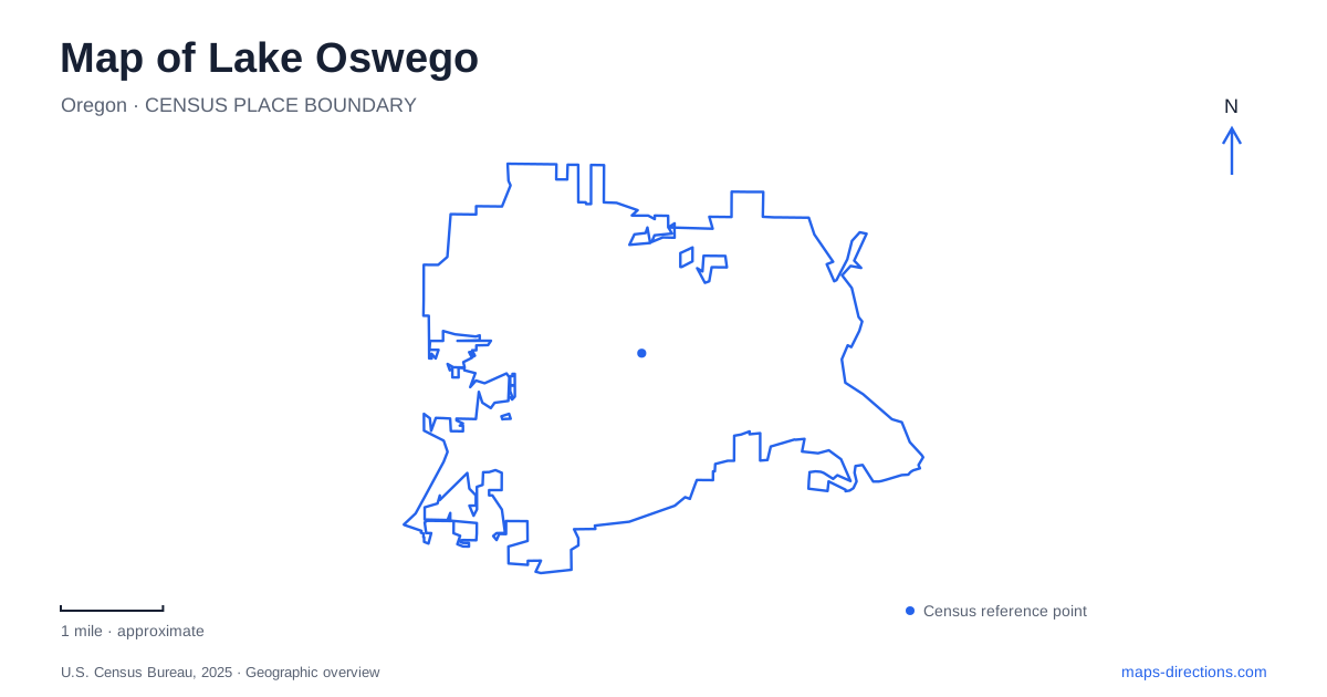
Street tiles load from OpenStreetMap when opened. The blue line shows the 2025 Census boundary.
- State
- Oregon
- Population · July 2025
- 39,722
- Land area
- 10.9 sq mi
- Water area
- 0.7 sq mi
Lake Oswego has two different waterfront identities and an industrial history that can be easy to overlook among its residential streets. The Willamette River holds former furnace and foundry sites, while Oswego Lake creates a separate inland shoreline. Farther into the surrounding landscape, a former dairy farm and an agricultural heritage route preserve another strand of local history. A useful map keeps these settings distinct while showing the connections among them.
The surviving furnace on the river
The stone furnace in George Rogers Park is a physical reminder of the area's iron industry. Municipal history dates the first smelter's production to 1867, following construction in 1866. It operated intermittently under successive companies before the first furnace's working life ended. This was an industrial waterfront, supported by ore, timber, waterpower and transportation.
The distinction between construction and production dates is useful when reading historical markers: both years can be correct, but they describe different milestones. The surviving structure also should not be confused with every later ironworks site in the city. It marks one stage in a larger industrial landscape whose activities spread beyond the park.
A heritage route through several kinds of site
The Oswego Iron Heritage Trail connects seven locations using existing streets and paths. Three are beside the Willamette: the early furnace in George Rogers Park, the later furnace site in Roehr Park and the pipe-foundry site in Foothills Park. Other stops relate to ore mining, charcoal production and workers' lives.
On a map of Lake Oswego, this route explains how production depended on dispersed resources. Iron Mountain's trail follows the former narrow-gauge railway alignment used to transport ore, while the old mine tunnels themselves are inaccessible. The Worker's Cottage on Wilbur Street introduces the domestic side of the industry. These are linked interpretive places, not surviving departments within one factory that visitors can simply walk through.
Oswego Lake is a separate destination
The inland lake should not be mistaken for the Willamette waterfront. Lower Millennium Plaza Park provides a city-managed public entry point under park rules updated in 2025. The city's current guidance directs entry and exit through the concrete platforms there and specifically excludes Sundeleaf Plaza and Headlee Walkway as lake-entry locations.
That distinction changes how the shoreline should be read. A waterside walkway can provide views without being an authorized place to enter the water. The public entry accommodates specified nonmotorized craft, with size and safety requirements, rather than functioning as a motorboat launch. Temporary restrictions can also apply for construction, events or safety.
For Lake Oswego, older descriptions that simply characterize all public lake entry as prohibited are therefore incomplete. The designated entry point and its current rules are more useful than a blanket statement about the entire shoreline. The city's role at the park also differs from the responsibilities of agencies overseeing activity on the water.
Luscher Farm's continuing agricultural role
Luscher Farm, at 125 Rosemont Road, was a dairy operation owned by Rudie and Esther Luscher before the city purchased it in 1990. Its buildings and land are maintained to interpret agriculture and support learning about food and plant production. The farm's current gardening programs continue that connection to cultivated land rather than treating it solely as a preserved house.
The site lies near the Stafford Road and Rosemont Road roundabout, separate from the central waterfront parks. Its fields, gardens and farm buildings create a different kind of public landscape. The change of setting is part of its interest: the city's park system includes places where the principal subject is growing food and caring for plants, not river views or industrial remains.
A specialized garden within the farm
The Rogerson Clematis Garden occupies part of the farm setting. Its caretakers describe a collection containing many species and cultivated varieties, arranged as a public garden. Their account explains that the garden developed around the farmhouse in conjunction with an existing interest in antique roses.
For visitors mapping Lake Oswego's wider cultural landscape, this is a botanical collection within an agricultural property. The two names refer to overlapping places at different scales. The farm includes several activities and landscapes; the garden concentrates on a particular group of climbing and flowering plants. A garden visit therefore reveals a more specialized purpose within the larger public site.
Hazelia and the landscape beyond the property
The Hazelia Agri-Cultural Heritage Trail begins at Luscher Farm and extends through the Stafford Hamlet north of the Tualatin River. Its ten interpretive panels address the area's historic, agricultural and cultural beginnings, including a Grand Ronde panel. The route places the farm within a broader landscape of settlement and land use rather than presenting it as an isolated preserved parcel.
A map of Lake Oswego can thus connect industry, water access, agriculture and horticulture without merging their locations. The riverfront furnace sites, inland lake entry, former dairy farm and heritage route each reveal a different relationship between people and the land. Reading them together gives the city a history deeper than its contemporary residential appearance.
Map and statistics: U.S. Census Bureau, 2025 Gazetteer, January 2025 generalized place boundaries and Vintage 2025 population estimates. Local references: City of Lake Oswego; Friends of Rogerson Clematis. Article prepared by Maps & Directions.