Map of Lake Havasu City
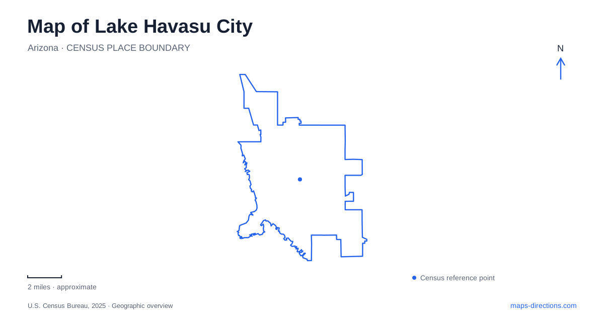
Street tiles load from OpenStreetMap when opened. The blue line shows the 2025 Census boundary.
- State
- Arizona
- Population · July 2025
- 59,358
- Land area
- 46.3 sq mi
- Water area
- 0.0 sq mi
The map of Lake Havasu City revolves around an unusual relationship between desert streets and water. London Bridge crosses a narrow artificial channel, connecting the mainland with an island, while the much broader lake extends beyond that central waterfront. Inland, McCulloch Boulevard has its own commercial district. Understanding those separate settings helps distinguish a bridge visit, a downtown outing and a day at one of the lakeshore parks.
London Bridge connects two sides of the channel
London Bridge was reconstructed here using the exterior granite blocks of the bridge formerly spanning the Thames, and the local dedication took place in 1971. The rebuilt structure carries people and vehicles across Bridgewater Channel. Its purpose on today's map is therefore practical as well as historical: it joins the mainland and island rather than simply standing as a monument beside the shore.
The English Village occupies the mainland waterfront near the bridge. Across the channel, London Bridge Beach provides an island-side recreation setting. Keeping the two sides visible is useful for a pedestrian outing, because views of the same bridge can come from different banks and from the crossing itself. The attraction is a small landscape of water, approaches and public spaces, not one viewing point.
The channel is a navigable waterway with boating activity, distinct from the open lake. Its narrow shape and developed banks create a very different experience from a beach facing a wide expanse of water. A map of Lake Havasu City should preserve that distinction, especially when the purpose is to choose between watching boats in the central channel and spending time at a broader lakeshore park.
Thompson Bay and the island shore
Rotary Community Park is at 1400 South Smoketree Avenue on Thompson Bay. The city identifies approaches from State Route 95 using Smoketree Avenue or Park Avenue. Its grounds include beach space, picnic ramadas, playgrounds, volleyball courts and walking paths. Tinnell Memorial Sports Park, with skate and BMX facilities, forms another destination within the larger recreation area.
The combination of open water and several kinds of recreation gives Rotary a different role from the English Village. A family might spend most of an outing within the park grounds, moving between a picnic area, playground and beach. Someone visiting the skate facilities would focus on a different part of the same property. The park name identifies the overall setting, while the particular activity identifies the useful section.
London Bridge Beach, meanwhile, belongs to the island side of the channel. Its location makes it a separate choice from Rotary even though both appear near the central waterfront. In Lake Havasu City, a short apparent distance across water does not describe the shape of a land journey. The bridge, island roads and shoreline streets are the connections that make those places accessible.
McCulloch Boulevard has a separate downtown identity
The Main Street or Uptown district is associated with the upper part of McCulloch Boulevard. It represents a commercial focus away from the immediate bridge waterfront. Mesquite Avenue and Swanson Avenue are additional roads in the corridor identified by the state's transportation planning study. These names help place the district within the inland street network.
This distinction is useful when an event or business describes itself as downtown. The phrase may refer to the McCulloch corridor rather than the English Village or a channel-side establishment. Retaining the actual street name gives the destination a clearer position. A visitor can then decide whether to concentrate on one district or combine separate waterfront and inland stops.
For Lake Havasu City, the bridge and Main Street are complementary centers of activity. One is defined by a crossing and its waterfront surroundings; the other by a commercial boulevard and its neighboring streets. Neither label should erase the other from a map of the community.
State parks extend the lakeshore picture
Lake Havasu State Park offers a further combination of beaches, boat ramps, camping and nature trails. The Mohave Sunset Trail passes through low desert and along the shoreline, while the Arroyo-Camino Interpretive Garden introduces local desert life. These features give the park an identity beyond simply being another place to reach the water.
Cattail Cove State Park is a separate destination about fifteen miles south along Highway 95. Its beach, boat ramp and campsites belong to a different lakeshore setting, so it is better understood as a regional excursion than as part of a central bridge walk. A map of Lake Havasu City becomes more useful when it distinguishes the channel, Thompson Bay, the inland commercial corridor and these separate park destinations. Each represents a different way to experience the meeting of the desert and the lake.
Map and statistics: U.S. Census Bureau, 2025 Gazetteer, January 2025 generalized place boundaries and Vintage 2025 population estimates. Local references: Go Lake Havasu; Lake Havasu City; Downtown Lake Havasu; Arizona Department of Transportation; Arizona State Parks. Article prepared by Maps & Directions.