Map of Lake Forest
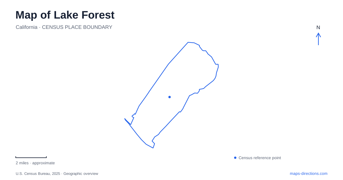
Street tiles load from OpenStreetMap when opened. The blue line shows the 2025 Census boundary.
- State
- California
- Population · July 2025
- 86,333
- Land area
- 16.7 sq mi
- Water area
- 0.1 sq mi
Lake Forest contains both suburban street networks and places that explain the older geography of the Saddleback Valley. El Toro survives in road and landmark names, Serrano Creek supplies a landscape corridor, and Whiting Ranch introduces a much larger trail setting. These layers are easier to read separately before combining them into a trip. A city map helps identify their relative locations, while a historical-site plan or trail map provides the more detailed information needed at the destination itself.
El Toro names preserve an earlier local geography
Heritage Hill Historical Park brings together four historic buildings associated with the valley's development: the Serrano Adobe, the early grammar school, St. George's Episcopal Mission and the Harvey Bennett Ranch House. The county's history explains that the school, mission and ranch house were moved to the adobe site for preservation. Their present grouping should therefore not be read as a map of their original positions.
That distinction adds meaning to a Lake Forest visit. The park interprets several periods and places together rather than preserving every building on its first parcel. A reader comparing historic maps with a modern street map should expect some differences. The current location tells you where to visit the structures; the historical account explains how they came to be assembled there. Neither question can be answered reliably by the attraction marker alone.
Place Heritage Hill on Serrano Road
The county lists Heritage Hill at 25151 Serrano Road. It is a compact historic site, unlike the much broader wilderness landscape associated with Whiting Ranch. The shared appearance of green shading on a general map can conceal that difference in purpose and scale. At Heritage Hill, the principal destinations are the preserved buildings and their grounds rather than a long network of backcountry routes.
The municipal guide map also labels Serrano Creek Park and Serrano Creek Trail. Those names help orient the surrounding landscape, but they should not be treated as alternative titles for the historical park. A visitor may reasonably combine nearby interests after checking the map, yet the historical site, creek park and trail remain separate things to identify. Use the full destination name when saving the location.
Whiting Ranch has more than one arrival reference
Whiting Ranch Wilderness Park lists a Borrego parking location at 26701 Portola Parkway and another parking area at 27901 Glenn Ranch Road. The county specifically warns that the Glenn Ranch Road location may not display correctly in mapping applications. This is a concrete reason to compare a search result with the official park map instead of accepting the first pin uncritically.
For a Lake Forest trail outing, decide which staging area relates to the intended route before starting the drive. A broad wilderness-park search can identify the correct open space without choosing the right trailhead. The two street addresses are not interchangeable, and a route through the trail network should not be inferred from the automobile approach. Keep the road arrival and the planned trail circuit as two connected but distinct decisions.
Read the trail legend before connecting the lines
The county trail map labels Borrego Canyon, Red Rock Canyon, Mustard Road, Cactus Hill and other routes. Its legend distinguishes paved roads, hiking trails and multiuse trails, along with difficulty categories. Those distinctions matter more than whether two lines happen to touch on a small screen. A named “road” inside the park is not necessarily a public driving route.
The park also connects with the Aliso Creek and Aliso-Serrano regional trail systems. A Lake Forest overview can show how recreation corridors extend beyond a single park, but the detailed trail map is needed to understand the particular route and permitted use. Select a circuit suited to the people and travel mode involved. A municipal boundary does not determine where a trail becomes suitable, and a continuous drawn line does not erase changes in terrain or rules.
Use the street framework without confusing it with the trails
The city's guide map identifies El Toro Road, Trabuco Road, Muirlands Boulevard, Jeronimo Road and Interstate 5 alongside the park and creek labels. These streets provide a framework for locating destinations within the developed area. They perform a different role from the county trail lines: they help explain the neighborhood approach rather than the route through the open space.
When reading Lake Forest, keep the historical names, urban approaches and wilderness routes on their appropriate scales. Heritage Hill calls for its Serrano Road address and an understanding of the preserved buildings. Whiting Ranch calls for a chosen parking area and a trail-specific plan. The creek corridors help connect the larger picture without turning every nearby green area into one undifferentiated park. This produces a clearer itinerary and preserves the local distinctions that make the map informative.
Map and statistics: U.S. Census Bureau, 2025 Gazetteer, January 2025 generalized place boundaries and Vintage 2025 population estimates. Local references: OC Parks; City of Lake Forest. Article prepared by Maps & Directions.