Map of Lake Elsinore
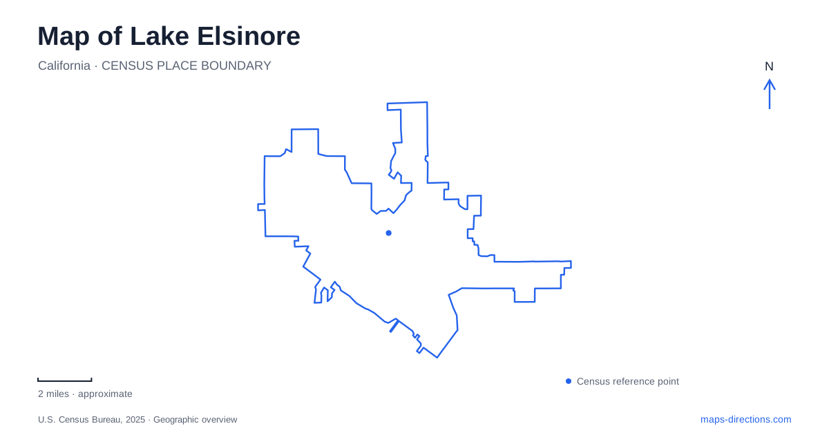
Street tiles load from OpenStreetMap when opened. The blue line shows the 2025 Census boundary.
- State
- California
- Population · July 2025
- 75,067
- Land area
- 38.3 sq mi
- Water area
- 5.3 sq mi
Lake Elsinore is organized around a large natural freshwater lake, but its street map also records a mineral-springs resort, a railroad town, and expanding inland neighborhoods. Water occupies the visual center while everyday destinations spread around it and across Interstate 15. A useful first reading therefore connects the historic street grid, the different shoreline recreation areas, and the mountain route toward the coast. These features explain more than a single downtown marker can about how the community fits together.
The old town around Main Street
Historic downtown principally follows Main Street, Heald Avenue, and Graham Avenue. This compact arrangement gives the older center a different character from the larger road corridors elsewhere. The Crescent Bath House, also known as the Chimes Building, and the Grand Army of the Republic Armory Hall both date to 1887 and appear on the National Register of Historic Places. Their original purposes reveal two overlapping aspects of early settlement: visitors drawn by mineral springs and a civic organization serving Union veterans.
The history of Lake Elsinore remains visible beyond those two buildings. At Graham Avenue and Spring Street, the former Santa Fe depot recalls the railroad that first served the town in 1885. The surviving depot and bath house make the downtown grid legible as a place built around arrivals and visitors, rather than simply a commercial strip beside water. Main Street is consequently a useful starting point for understanding local history before following the shoreline roads.
A mountain highway and an inland freeway
Interstate 15 and State Route 74 provide the larger framework. The municipal planning area extends on both sides of the freeway and both north and south of the state highway. This matters because an address associated with the lake can still lie inland from the water, beyond the older downtown blocks.
Westward, Route 74 becomes Ortega Highway through the mountainous Cleveland National Forest and connects toward Interstate 5 and Orange County. Eastward, the route connects toward Interstate 215, Perris, and Hemet. Those opposing directions reveal why the same numbered highway appears in very different landscape settings. On a map of Lake Elsinore, the western approach should be read as a mountain connection, while the freeway serves the broader inland travel corridor. Neither is a substitute for examining the shoreline streets when the destination is a beach or park.
Riverside Drive and Launch Pointe
Launch Pointe occupies 32040 Riverside Drive. It combines a public boat launch with recreation and overnight accommodation, including RV sites, yurts, and vintage trailers. This concentration of facilities makes it one of the lake's major destination anchors. The city identifies it as the public launch; privately operated launches also exist around the shore.
Boating involves two separate arrangements here: permission to use the lake with a motorized vessel and access to the launch and parking facility. That distinction is useful before bringing a trailer because a lake-use pass alone does not cover every part of arrival. The launch operates within capacity limits, so a mapped route to Riverside Drive cannot establish whether additional vehicles are being admitted. For a land-based visit, the same complex includes picnic and beach facilities, creating several different reasons for vehicles to converge on this part of the shoreline.
Lakeshore Drive, fields, and the levee
Lakepoint Park at 420 East Lakeshore Drive combines softball and soccer areas with a playground and short walking paths. Its views encompass both the water and the Ortega mountain range. The recreation center stands beside the park, placing indoor community activities and outdoor fields together. For families comparing possible stops in Lake Elsinore, this combination differs considerably from a campground or a boat-launch outing.
Other named shoreline access points include Elm Grove Beach at Lindsay Street and Lakeshore Drive and Whiskers Fishing Beach at Townsend Street. Their street names provide a more detailed reading of the waterfront than a broad lake label. Farther along the recreation geography, Diamond Drive identifies the levee trail approach and the baseball stadium at 500 Diamond Drive. The levee offers a walking and cycling setting, while the stadium is a separate event destination; their shared road helps explain their relationship without merging their purposes.
Recreation beyond the water
Serenity Park on Palomar Road adds another kind of outdoor space: a skate area, pump track, dog park, fitness trail, and courts. These facilities show that neighborhood recreation is distributed beyond the beaches. The city map becomes easier to interpret when these inland parks remain visible alongside the lake itself. Historic buildings around Main Street, boating on Riverside Drive, fields on Lakeshore Drive, and riding facilities on Palomar Road together give Lake Elsinore a much fuller geographic identity than its shoreline alone.
Map and statistics: U.S. Census Bureau, 2025 Gazetteer, January 2025 generalized place boundaries and Vintage 2025 population estimates. Local references: City of Lake Elsinore. Article prepared by Maps & Directions.