Map of Laguna Niguel
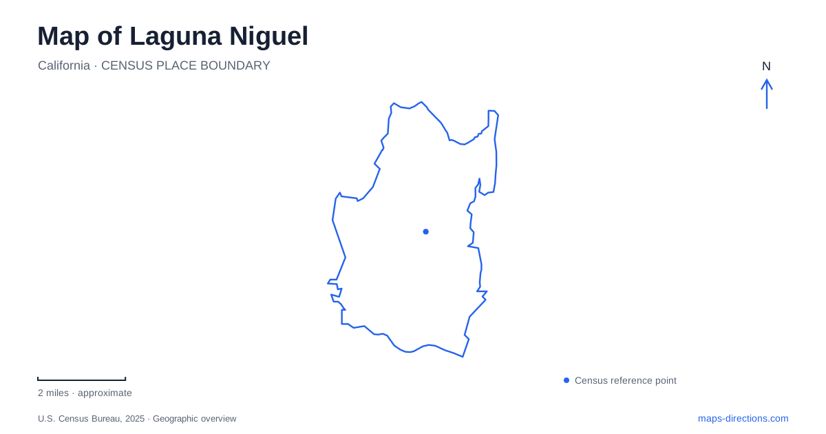
Street tiles load from OpenStreetMap when opened. The blue line shows the 2025 Census boundary.
- State
- California
- Population · July 2025
- 64,107
- Land area
- 14.7 sq mi
- Water area
- 0.1 sq mi
Laguna Niguel is organized around hills, valleys and planned residential districts rather than a single old commercial grid. Its parks are particularly useful for understanding that pattern, but they are not all the same kind of place. Crown Valley is a municipal recreation campus, the regional park surrounds a reservoir, and the adjoining canyon country is protected habitat. Distinguishing those landscapes explains both the shape of the community and the different experiences suggested by green areas on its map.
Planning came before municipal incorporation
The modern community developed from a plan commissioned after the formation of a development corporation in 1959. Victor Gruen and Associates prepared a detailed scheme for approximately 7,100 acres. The city's historical account places the beginning of subdivision land sales in 1961 and identifies Avco's acquisition of the plan in 1971 as another stage in its implementation.
City government came later. Residents formed a community services district in 1986, and incorporation became effective on December 1, 1989. This sequence matters when reading the landscape: many neighborhoods and open-space relationships were established before the municipality existed. Laguna Niguel inherited a planned framework rather than beginning with an empty map at incorporation. Curving residential streets, larger connecting roads and separate park sites belong to that development history.
Crown Valley is a collection of destinations
Crown Valley Park, at 29751 Crown Valley Parkway, contains the community center, aquatic facilities, sports fields, an amphitheater and other recreation spaces. A single park marker consequently represents several possible destinations. The outdoor pool sits between the community center and the YMCA, while the amphitheater uses a terraced grass seating area. The arrangement is a campus of related facilities, not one building with several alternative names.
That distinction is especially useful when attending a class, performance or swimming session. The common street address gets a visitor to the broader park, while the named facility determines the final destination. The botanical preserve occupies the hillside portion of this setting and introduces a different pace and purpose from the pool, playing fields and community rooms below.
A garden that grew from a vegetable plot
Niguel Botanical Preserve began with a volunteer community vegetable garden in 1981 and became a nonprofit organization in 1984. Its mission now focuses on drought-tolerant plants suited to the Southern California climate. Collections represent California and Baja California, central Chile, southern and southwestern Australia, South Africa's Western Cape and countries around the Mediterranean Sea.
The preserve is therefore a cultivated teaching landscape rather than an untouched remnant of local vegetation. Its international plant collections show how different regions with comparable climates can supply plants for low-water gardens. In Laguna Niguel, this distinction gives the hillside paths an educational role beyond simply providing a view. Volunteers maintain the garden, and the planted beds should be experienced from the paths rather than treated as open ground for shortcuts or photographs among the plants.
The reservoir park has its own geography
Laguna Niguel Regional Park uses a different address, 28241 La Paz Road, and is managed by OC Parks. It includes a fishing lake, lawns, picnic areas, courts and trails. The county's lake-management explanation identifies the water body as a reservoir fed by Sulphur Creek. Its presence is therefore connected to the local drainage system, not to a natural coastal lagoon.
Kite Hill provides a model-glider area, while pedestrian bridges connect parts of the picnic and trail network. These features give the park several activity zones around and above the water. A lakeside destination, a reserved shelter and the glider area may all appear under the same park name but involve different parts of the grounds. The reservoir setting also distinguishes this county park from the municipal pool and activity campus at Crown Valley.
Canyon habitat and the meaning of open space
Aliso and Wood Canyons Wilderness Park brings a larger protected landscape into the picture. Its official map distinguishes multi-use trails from hiking routes, public access gates from emergency gates, and paved approaches from unpaved paths. It also identifies ancient shell fossils, reminders that the area's geological history extends well beyond its present suburban setting. Those map categories are more useful than assuming every line through a canyon is an equivalent walking or cycling route.
The city's open-space guidance makes a further distinction between public parks, natural areas and privately maintained land. Some landscaped slopes and neighborhood recreation areas belong to homeowners or associations; a green appearance does not establish public access. Laguna Niguel's open spaces work together visually and environmentally, but their ownership and permitted uses differ. Recognizing that variety makes it possible to read the hillsides as a connected landscape while still respecting the boundaries between civic recreation, cultivated gardens, protected habitat and private property.
Map and statistics: U.S. Census Bureau, 2025 Gazetteer, January 2025 generalized place boundaries and Vintage 2025 population estimates. Local references: City of Laguna Niguel; Niguel Botanical Preserve; OC Parks. Article prepared by Maps & Directions.