Map of Lafayette
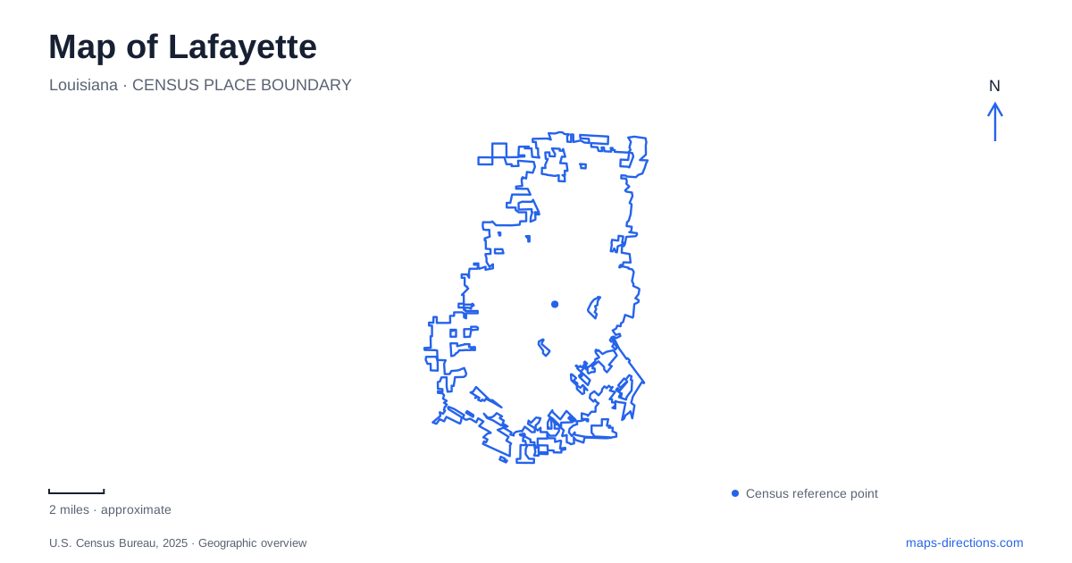
Street tiles load from OpenStreetMap when opened. The blue line shows the 2025 Census boundary.
- State
- Louisiana
- Population · July 2025
- 123,311
- Land area
- 56.4 sq mi
- Water area
- 0.1 sq mi
Lafayette's cultural destinations occupy several different landscapes. Jefferson Street organizes the downtown commercial area, Cypress Lake sits within the university campus, and Vermilionville interprets regional history beside the Bayou Vermilion. Moncus Park adds a large public green space on former agricultural land. A map becomes more useful when these settings retain their separate identities, rather than being grouped under a broad description of Cajun country or a single downtown label.
Jefferson Street and the central cultural district
Jefferson Street remains a principal reference for downtown shops, restaurants, and galleries. The tourism office describes the downtown pattern around a central courthouse and streets named for presidents, while Jefferson provides a recognizable commercial spine. East Vermilion Street supplies another useful reference within this central area.
The Acadiana Center for the Arts, the science museum, the children's museum, and Parc Sans Souci form part of downtown's cultural geography. Their settings differ from a large attraction campus with one controlled entrance. Here the street network joins separate institutions, public space, and businesses. That makes a block-level map useful for understanding how an outing can move between indoor cultural stops and the surrounding commercial streets.
The visitor welcome center is elsewhere, at 1400 Northwest Evangeline Thruway. A map of Lafayette should keep that address distinct from the downtown attractions it helps visitors explore. The information center is an arrival resource, while Jefferson Street is a destination corridor. Treating the two as interchangeable would obscure a practical difference in how a visit begins.
Cypress Lake and the university landscape
At the university, Cypress Lake is a managed wetland within the main campus. The Student Union wraps around it, and the lake's relationship with the building is part of the campus layout. The union's McKinley Street address supplies a street reference, while the water provides an internal landmark once the campus is in view.
The university map identifies Cypress Lake Plaza, the Quadrangle, Dupré Library, the Hilliard Art Museum, and Girard Park among the surrounding campus and adjacent features. This is a setting where a building name and a campus map often convey more than the university's general mailing address. The lake is especially useful because it gives the academic landscape a recognizable natural feature among the buildings.
For Lafayette, Cypress Lake is also a reminder that water-associated places are not all the same kind of destination. This is a campus wetland, not the larger Vermilion River corridor and not an outlying swamp-tour location. A campus visit can focus on the relationship among the union, plaza, and lake without implying that those spaces are substitutes for a bayou excursion.
The Horse Farm and Moncus Park
Moncus Park's earlier identity as the Horse Farm remains part of local descriptions. The park organization records the property's transition into a long-term lease with the city in 2018. Knowing the older name helps interpret recommendations or conversations that refer to the same land using different terms.
The park covers approximately one hundred acres, with wooded trails, paved paths, lawns, native gardens, and play areas. This combination makes it a larger outdoor destination than a small downtown square. The useful internal map distinguishes the more developed gathering and play spaces from the wooded portions, allowing an outing to focus on the type of landscape a visitor wants to experience.
Moncus Park broadens the Lafayette recreation map beyond the university and downtown streets. Its identity is grounded in the reuse of a substantial green property rather than in a single historic building. The former Horse Farm name, the current park name, and the varied internal spaces all describe different aspects of that same destination.
Vermilionville and the bayou setting
Vermilionville Living History Museum and Folklife Park is at 300 Fisher Road, off Surrey Street across from the regional airport. Its operator describes a reconstructed historical village on a twenty-three-acre, tree-covered site beside the Bayou Vermilion. Seven restored original homes are among its attractions. This is an arranged interpretive landscape, distinct from walking through the existing commercial downtown.
The museum's mission addresses Native American, Acadian, Creole, and African-descended communities in the Attakapas region. Historic buildings, demonstrations, music, and other forms of interpretation connect the site to regional cultural history. Its waterfront setting also connects that history to the bayou and the natural resources that shaped local life.
The name can be confusing because Vermilionville also appears in accounts of the city's earlier identity. For an actual museum visit, Fisher Road and Surrey Street identify the present attraction. Historical references to the old town name should not be taken as directions to a particular modern entrance.
Reading Lafayette through these four settings produces a more precise local picture. Jefferson Street supplies a downtown corridor, Cypress Lake organizes part of a campus, Moncus Park preserves a large green property, and Fisher Road leads to a bayou-side historical village. Each has a distinct relationship to streets, water, and cultural activity, giving the city map useful structure at more than one scale.
Map and statistics: U.S. Census Bureau, 2025 Gazetteer, January 2025 generalized place boundaries and Vintage 2025 population estimates. Local references: Lafayette Travel; University of Louisiana at Lafayette; Moncus Park; Bayou Vermilion District. Article prepared by Maps & Directions.