Map of La Vergne
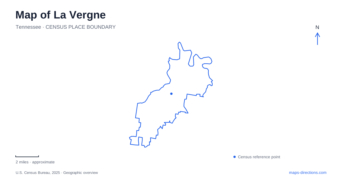
Street tiles load from OpenStreetMap when opened. The blue line shows the 2025 Census boundary.
- State
- Tennessee
- Population · July 2025
- 42,146
- Land area
- 24.7 sq mi
- Water area
- 0.2 sq mi
La Vergne is easier to understand through its public spaces than through a single downtown marker. Murfreesboro Road holds the civic address and Bicentennial Park, while parks along neighborhood streets give the residential landscape additional centers. Beyond those everyday destinations, Jones Mill Road leads toward the wooded shore of J. Percy Priest Lake. Reading these places together reveals a community with several different outdoor settings: a civic lawn, a substantial sports complex, neighborhood trails and a federal campground beside a reservoir.
A civic center with a longer history
The modern municipal story does not begin with the first settlement. The city's historical timeline records Buchananville as an early name and places the first incorporation in 1860. Civil War destruction interrupted that municipal history; incorporation was rescinded in 1881. The community incorporated again in 1972. Those separate dates explain why an anniversary connected with contemporary local government can seem much younger than the place itself.
Bicentennial Park adds another layer to the civic landscape. It was established beside City Hall in 1976 with funding associated with the national bicentennial. City Hall subsequently opened at its current Murfreesboro Road location in 1982. The park and government building therefore represent related stages in the development of the modern municipal center, rather than a surviving nineteenth-century courthouse square.
At 5093 Murfreesboro Road, Bicentennial Park offers green space, a pavilion and access to a greenway. This makes it a useful place to read the civic side of La Vergne at a pedestrian scale. Its function is different from a regional recreation area: the combination of public offices, a gathering space and a walking connection brings several ordinary community activities into one small part of the map.
Two stages of the greenway system
Brookside Park belongs to the residential geography south of Waldron Road. Its listed address is 135 Stoneridge Parkway, near the Brookside subdivision. The first stage of the city's greenway system opened there in December 2011. The setting ties the trail to a neighborhood street network rather than to the shoreline of the large reservoir.
Hurricane Creek Greenway followed in 2017 as the second greenway. Together, these opening dates show that walking routes have been added in stages. A map of La Vergne should be read with that gradual development in mind: separate named greenways represent specific local corridors, and their existence alone does not establish a continuous trail to every park or to the lake. Brookside's street address and Bicentennial Park's greenway access provide concrete starting points for understanding the system.
Sports grounds and a neighborhood playground
Veterans Memorial Park occupies 55 acres at 115 Floyd Mayfield Drive and serves as the city's principal park. Eight baseball fields, a football field, basketball facilities, tennis and pickleball courts, a skate park and walking trails create a concentrated recreation district. The arrangement matters when interpreting aerial imagery: repeated diamonds and large open playing surfaces are the signature of a multipurpose sports park, not unused land between subdivisions.
La Vergne also has recreation spaces at a much smaller scale. Lake Forest Park covers five acres within the Lake Forest subdivision at 401 Holland Ridge Drive. Its two pavilions and playground serve a neighborhood setting. The playground opened in 2014, adding a defined gathering place among surrounding homes. Comparing this park with the larger complex shows how the park system distributes different functions: organized sports require broad contiguous grounds, while a playground and picnic shelters can fit into the residential fabric.
The road toward Poole Knobs
Poole Knobs introduces a different landscape on J. Percy Priest Lake. The campground's address is 493 Jones Mill Road, and its published approach uses Highway 41, Fergus Road and Jones Mill Road. Those names provide a useful road sequence for locating the lake outing in relation to the developed community. The destination is associated with the reservoir's wooded hills and camping areas rather than the municipal playing fields.
The campground includes individual campsites, a group camping area and a boat ramp. It does not provide a designated swimming beach or swimming area. That distinction is useful when choosing what a lakeside stop should accomplish: boating and an overnight stay are supported facilities, while a beach outing requires a different destination. The dam was completed in 1968, so the large water body itself belongs to a later chapter of the regional landscape.
A map of La Vergne consequently tells several connected stories without reducing them to one attraction. Murfreesboro Road identifies the civic cluster; Stoneridge Parkway and Holland Ridge Drive locate neighborhood recreation; Floyd Mayfield Drive marks the larger sports grounds; and Fergus Road leads into the approach toward Jones Mill Road and the reservoir. These specific relationships give the surrounding streets meaning beyond their labels.
Map and statistics: U.S. Census Bureau, 2025 Gazetteer, January 2025 generalized place boundaries and Vintage 2025 population estimates. Local references: City of La Vergne; Recreation.gov / U.S. Army Corps of Engineers. Article prepared by Maps & Directions.