Map of La Mirada
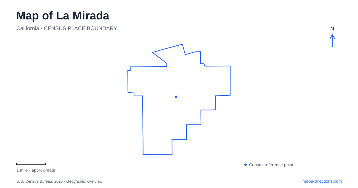
Street tiles load from OpenStreetMap when opened. The blue line shows the 2025 Census boundary.
- State
- California
- Population · July 2025
- 45,952
- Land area
- 7.8 sq mi
- Water area
- 0.0 sq mi
La Mirada’s public spaces reveal several layers of its landscape: a creek corridor, an estate preserved within a neighborhood park, a large county recreation area, and a concentration of municipal facilities. These are useful anchors for reading the map because each represents a different kind of place. A park symbol alone does not communicate whether the grounds follow water, surround historic buildings, or accommodate organized sports. Keeping their street locations and physical character together produces a much clearer picture.
Reading the creek as a corridor
Creek Park occupies about 11 acres along the local creek and is listed at 12021 Santa Gertrudes Avenue. Developed in the 1970s, it is a linear landscape shaped by the watercourse rather than a collection of rectangular playing fields. Trails and bridge structures are part of its character. On a map, follow the park’s length and the creek line instead of treating its address as the entire destination.
This is one of the places where La Mirada’s natural drainage remains visible within its developed neighborhoods. The city’s master plan discusses creek naturalization, trail improvements, bridge work, and possible seating and habitat gardens. Those proposals explain the landscape’s importance, but a planning drawing should not be read as proof that every illustrated feature has been built. The established organizing element is the creek itself; proposed additions belong to a separate layer of information.
A walk here has a different spatial logic from a circuit of sports fields. Bridges relate the two sides of the water, and paths extend through the corridor. Looking at those relationships before choosing a starting point helps explain why a small park acreage can still produce an elongated shape on the map.
Historic buildings within Neff Park
Neff Park, at 14300 San Cristobal Drive, contains the Neff House, George House, and Barn. These named structures make the grounds more than an ordinary neighborhood green space. They preserve an architectural grouping within the surrounding city, so the buildings themselves deserve attention when exploring the map at close scale.
The city has undertaken preservation planning for all three structures, including roof work, and its facility information distinguishes spaces such as the barn and gazebo. For an understanding of La Mirada, this estate setting provides a useful contrast with Creek Park. One landscape is organized around a watercourse; the other is organized around historic buildings and their grounds. Their shared designation as parks should not hide that difference.
San Cristobal Drive is the relevant street reference for the estate grounds. Keeping that name beside the house and barn labels also makes it easier to recognize the location when an event or historical description uses “Neff Estate” rather than “Neff Park.” The two terms describe overlapping aspects of the same local landmark.
The county recreation landscape on Adelfa Avenue
The Community Regional Park is a county-operated facility at 13701 South Adelfa Avenue. Its recreation offerings include fishing water, disc golf, tennis, baseball and softball facilities, picnic areas, and children’s play areas. That combination creates a broad activity landscape with several different destinations inside its boundary.
A map of La Mirada should preserve this county park’s identity separately from the city’s smaller neighborhood parks. The distinction is practical: a field reservation, a fishing outing, and a visit to a playground may refer to the same named grounds while using different parts of them. It is also geographic. Water, playing fields, and landscaped open space occupy the property in different ways; a single green fill cannot explain their arrangement.
Use Adelfa Avenue as the street reference when comparing this area with the other recreation sites. The regional park is not another name for the creek corridor or the historic estate. Each adds a separate element to the city’s public-space network.
A boulevard lined with civic recreation
The municipal facility list places the Resource Center at 13710 on the city’s namesake boulevard, Splash! aquatic facilities at 13806, and the Activity Center at 13810. Those closely grouped addresses identify a concentration of community destinations. The buildings serve different purposes, even though their addresses place them within the same general corridor.
Elsewhere, Frontier Park is associated with Marquardt Avenue, Gardenhill Park with Gardenhill Drive, and Windermere Park with Cheshire Street. These street names extend the picture beyond the largest public grounds. Read La Mirada through this combination of individual neighborhood sites, a civic recreation cluster, historic structures, and flowing water. The resulting map describes how the city is used and remembered, rather than reducing it to a list of interchangeable park names.
Map and statistics: U.S. Census Bureau, 2025 Gazetteer, January 2025 generalized place boundaries and Vintage 2025 population estimates. Local references: City of La Mirada; Los Angeles County. Article prepared by Maps & Directions.