Map of La Habra
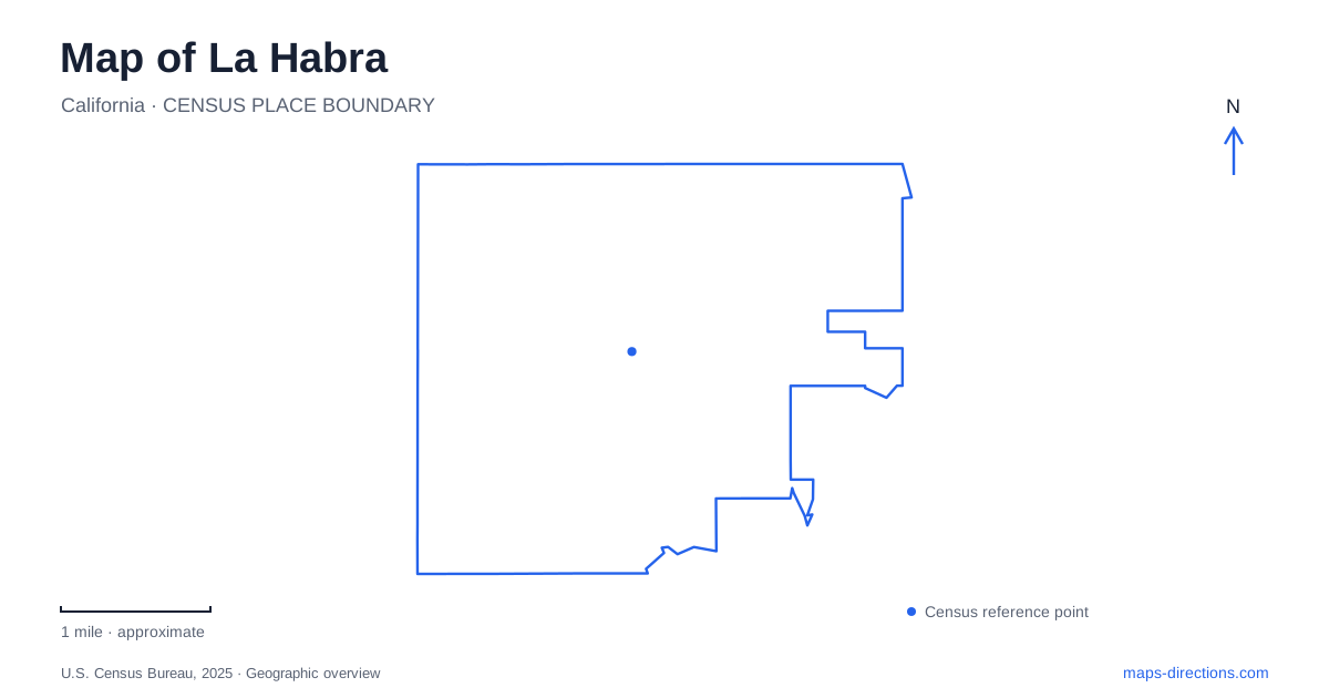
Street tiles load from OpenStreetMap when opened. The blue line shows the 2025 Census boundary.
- State
- California
- Population · July 2025
- 60,908
- Land area
- 7.6 sq mi
- Water area
- 0.0 sq mi
La Habra lies at the northwestern edge of Orange County, where the urban map meets neighboring communities in Los Angeles County. Brea is to the east and Fullerton to the south, while Whittier and La Mirada help frame the western side. This border setting matters because a short local journey can cross municipal or county lines without any dramatic change in the appearance of the streets. Within the city, Euclid Street, Whittier Boulevard, Walnut Street, and Imperial Highway provide more useful day-to-day references than the county outline alone.
The Euclid Street cluster
The Children's Museum is at 301 South Euclid Street, an address shared with the city's listing for Portola Park. Brio Park is listed at 300 South Euclid. These closely grouped destinations create a recognizable recreation and cultural cluster. The museum is an indoor destination, Portola includes athletic and event space, and Brio provides a smaller park setting with a playground and splash zone.
For a first map of La Habra, this cluster offers a concrete place to begin. The repeated Euclid address line makes the relationship clear, while the separate facility names explain the different purposes of the sites. A museum outing and a park event can concern the same immediate district without being the same activity or using the same part of the grounds.
Euclid also provides a reference farther south at Las Lomas Park, listed at 800 South Euclid. Seeing those addresses together establishes a sequence along one corridor. It is a more useful way to understand local recreation geography than treating every park as an unrelated label. The street itself ties the destinations into the surrounding neighborhood pattern.
A linear park beside the railway
Guadalupe Park occupies a different kind of space on South Walnut Street, beside the railway tracks. The city describes a linear park containing both developed recreation space and a nature area. Its extension includes community-service facilities, including Guadalupe Hall. This elongated form reflects a corridor-shaped setting rather than the broader field layout found at some sports parks.
The rail-side location is a meaningful detail in La Habra's landscape. Municipal history records the arrival of the Pacific Electric line in 1908, during the community's earlier agricultural and industrial development. The present park should not be read as proof that a historic passenger service still operates there; instead, the surviving railway corridor is one visible layer in a city whose land uses have changed substantially.
Loma Verde Park, also on South Walnut Street, adds another nearby neighborhood reference. Pairing the two park names with Walnut makes their relationship easy to describe while preserving their separate identities. One offers a long corridor landscape with an extension; the other is a smaller neighborhood recreation site. A close map reveals that distinction more clearly than a uniform set of green park symbols.
Whittier Boulevard and the western sports grounds
La Bonita Park sits on West Whittier Boulevard. Softball fields, a skate park, basketball facilities, and play space give it a more sports-oriented layout than the compact Euclid parks. The fields themselves are important map features: an event described through a particular sport belongs to a specific part of a larger recreation ground.
Whittier Boulevard also carries the address for Constitution Plaza farther east. The contrast is useful. A plaza with benches and flagpoles and a large athletic park can share the same boulevard while offering very different experiences. For visitors crossing La Habra, the directional part of the address is therefore meaningful: West Whittier and East Whittier describe different positions along a substantial local corridor.
Farther into the western street network, Oeste Park is on West Lambert Road. Together, Lambert and Whittier provide two separate road references for recreation destinations on that side of the city. They should remain visible when comparing an outing involving more than one park, rather than disappearing beneath a map crowded with individual business markers.
The county edge and the city's changing landscape
The community's name is easily confused with La Habra Heights, a separate city in Los Angeles County to the north. The added word changes the municipality, not merely the description of an elevated neighborhood. That is especially important when a search result, address, or public-service listing concerns the hills beyond the Orange County city.
Local history also helps explain the present map. Walnut, citrus, and avocado growing once formed an important part of the economy, followed by extensive urban development. Today's parks and rail corridors preserve different fragments of that earlier landscape among residential and commercial streets. Read the area through those concrete relationships: the Euclid cluster, the Walnut rail-side parks, the Whittier sports grounds, and the boundary with the neighboring hillside city. Each adds a distinct piece to the local geography.
Map and statistics: U.S. Census Bureau, 2025 Gazetteer, January 2025 generalized place boundaries and Vintage 2025 population estimates. Local references: City of La Habra; City of La Habra Heights. Article prepared by Maps & Directions.