Map of Kokomo
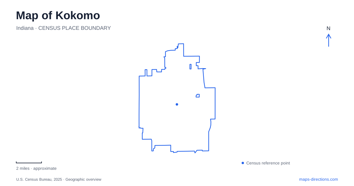
Street tiles load from OpenStreetMap when opened. The blue line shows the 2025 Census boundary.
- State
- Indiana
- Population · July 2025
- 59,999
- Land area
- 37.5 sq mi
- Water area
- 0.1 sq mi
A map of Kokomo becomes easier to interpret when two recreational routes are visible together. The Walk of Excellence follows the Wildcat Creek setting through parks and downtown, while the Industrial Heritage Trail runs north and south through places associated with manufacturing and rail history. Their different alignments reveal two sides of the city: a waterside public landscape and a corridor connecting industrial landmarks with the center.
The creek and the downtown park landscape
Wildcat Creek supplies a physical reference that streets alone cannot provide. The Walk of Excellence connects the downtown area with parks along this water corridor, bringing recreation into the same map view as the civic and commercial center. Foster Park, at 721 West Superior Street, is one of the major recognizable stops. Its arts pavilion and recreation grounds make it more than a narrow strip beside the trail.
The visitors bureau's walking map also identifies Waterworks Park, the stadium area and other recreation destinations along the broader network. This arrangement suggests looking along the creek before deciding which downtown places belong in one outing. A walk that begins with a park can gradually become a visit to the center, while a downtown visit can include a waterside section without needing an entirely different destination.
In Kokomo, the creek route and the street grid serve different purposes. The street grid locates individual buildings and road approaches; the recreational corridor shows how public spaces relate over a longer distance. Keep both in view when comparing a short stroll around the center with a more sustained walk. Following the water landscape gives the outing a geographic thread rather than a succession of unrelated stops.
A north–south route through industrial history
The Industrial Heritage Trail connects downtown with the Depot District and the glassmaking area. At its northern connection, a pedestrian bridge crosses Indiana 931 to meet the Nickel Plate Trail, which continues toward Rochester. This is an important change of scale: a city trail becomes part of a much longer regional cycling and walking corridor. The bridge is a specific connection between the two systems, not merely a point where their labels appear close together.
The Depot District gives rail history a visible place within the central route. Farther south, Kokomo Opalescent Glass stands at 1310 South Market Street, west of the trail. The factory and its visitor activities put continuing craftsmanship beside the historic industrial story. For someone following the trail, Market Street identifies the short departure from the main recreational line toward the glass destination.
This north–south sequence provides a practical way to divide a visit. The Depot District and downtown form one cluster, while the glassworks adds a distinct southern focus. A regional ride toward the Nickel Plate connection is a different undertaking again. Keeping these three scales separate makes it easier to choose an outing based on interest and available time without assuming the entire route must be covered.
Sycamore Street and the mansion neighborhood
West Sycamore Street leads toward Seiberling Mansion, home of the Howard County Museum. The museum is at number 1200 in the Old Silk Stocking neighborhood, west of downtown. Its setting changes the emphasis from industrial sites and public trails to residential architecture. The mansion was completed in 1891 for industrialist Monroe Seiberling, linking the neighborhood's domestic history with the same period of manufacturing growth represented elsewhere.
The mansion later served as an Indiana University branch before becoming a museum. These different uses make the building a useful anchor for understanding how a single property can hold several layers of local history. On a Kokomo itinerary, it works as a focused architectural and museum stop rather than simply another building along the industrial trail.
Its street arrangement also deserves attention. The address faces Sycamore Street, but museum parking is behind the property off West Walnut Street, reached using Phillips Street. That relationship is worth retaining on the map because it explains the layout of the block. The museum's public front entrance and rear access ramp serve different approaches to the same historic building.
Art within the central street grid
Artist Alley brings a smaller-scale destination into the center at 210 North Main Street. The outdoor display area adds sculpture and visual art to an itinerary otherwise organized around a creek, factories and historic buildings. The main library and visitor information location at 220 North Union Street provide another named central reference. These street addresses help connect the broader trail map with individual downtown blocks.
A useful map of Kokomo consequently holds several layers at once. Wildcat Creek explains the waterside park corridor; the industrial trail establishes a north–south line; Sycamore Street leads to the mansion neighborhood; Main and Union streets identify central cultural stops. Choosing among those layers gives a visit a clear purpose while preserving the connections that make the city more than a list of attractions.
Map and statistics: U.S. Census Bureau, 2025 Gazetteer, January 2025 generalized place boundaries and Vintage 2025 population estimates. Local references: Greater Kokomo Visitors Bureau; Howard County Historical Society. Article prepared by Maps & Directions.